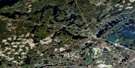
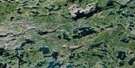
Atikokan Satellite Image Map
Download Free Aerial Photo 052B13 at 1:50,000 scale
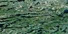
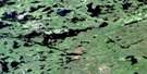
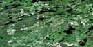
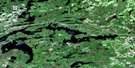
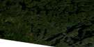
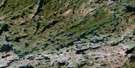
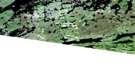
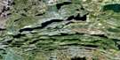
Atikokan Satellite Imagery
To view this satellite map, mouse over the air photo on the right.
You can also download this satellite image map for free:
052B13 Atikokan high-resolution satellite image map.
Maps for the Atikokan aerial map sheet 052B13 at 1:50,000 scale are also available in these versions:
Atikokan Surrounding Area Aerial Photo Maps
 |
 |
 |
 |
 |
 |
 |
 |
 |
 |
 |
 |
 |
 |
 |
 |
© Department of Natural Resources Canada. All rights reserved.
Atikokan Gazetteer
The following places can be found on satellite image map 052B13 Atikokan:
Atikokan Satellite Image: Bays
Bagshot BayBarr Bay
Camp Bay
Clover Bay
Dog Bay
Grace Bay
Liz Bay
Masuba Bay
Poplar Bay
Turtle Bay
Volcano Bay
Wagita Bay
Walter Bay
West Bay
Atikokan Satellite Image: Capes
Deadman's PointElbow Point
Gamik Point
Profile Point
Atikokan Satellite Image: Channels
Big Turtle NarrowsCamp Nine Narrows
Dashwa Narrows
Seine River Diversion
Atikokan Satellite Image: Falls
Valerie FallsAtikokan Satellite Image: Geographical areas
AsmussenBaker
Freeborn
Schwenger
Atikokan Satellite Image: Islands
Deadman's IslandGold Mine Island
Gull Island
Snake Island
Spoon Island
Atikokan Satellite Image: Lakes
Abie LakeAir Hole Lake
Another Lake
Apungsisagen Lake
Arnold Lake
Art Lake
Barr Lake
Bethune Lake
Bevens Lake
Bigger Lake
Broken Shoe Lake
Bunny Lake
Caldwell Lake
Canyon Lake
Clearwater West Lake
Colin Lake
Coulson Lake
Crowrock Lake
Dashwa Lake
Dismal Lake
Dragon Lake
Ear Lake
East Hardtack Lake
Eye Lake
Finlayson Lake
Flora Lake
Fog Lake
Forsberg Lake
Fotheringham Lake
Garrett Lake
Generator Lake
Grant Lake
Green Lake
Grey Lake
Halfmoon Lake
Handle Lake
Hardtack Lake
Harold Lake
High Lake
Highland Lake
Highland Lake
Hunter Lake
Icy Lake
Inland Lake
Jackfish Lake
Key Lake
Knight Lake
Kranck Lake
Lefteye Lake
Little Dragon Lake
Little Eye Lake
Little Falls Lake
Little Ganell Lake
Little Ganell Lake
Long Muddy Lake
Long Paradise Lake
Long Paradise Lake
Low Lake
Lower Basin A
Magneto Lake
Margaret Lake
Marmion Lake
Mary Lake
McIntosh Lake
Milk Lake
Miranda Lake
Mitt Lake
Modred Lake
Moore Lake
Moose Lake
Mud Lake
Nevison Lake
Niven Lake
North Twin Lake
Pal Lake
Perch Lake
Pete Lake
Potts Lake
Raft Lake
Rawn Reservoir
Reed Lake
Rifle Lake
Rifle Lake
Righteye Lake
Serpent Lake
Ski Lake
Slim Lake
Slush Lake
Snow Lake
South Twin Lake
Sprucehen Lake
Steep Rock Lake
Steeprock Lake
Stepin Lake
Strawhat Lake
Stript Lake
Stump Lake
Sunshine Lake
Tea Lake
Tent Lake
Transformer Lake
Transit Lake
Traverse Lake
Tuff Lake
Turtle Lake
Upper Basin A
Walley Lake
Walter Lake
West Pete Lake
Wetfoot Lake
White Lake
Williamson Lake
Atikokan Satellite Image: Mountains
Steep Rock MoraineAtikokan Satellite Image: Other municipal/district area - miscellaneous
AtikokanAtikokan Satellite Image: Rapids
Boyce RapidsTracy Rapids
Atikokan Satellite Image: Rivers
Arnold CreekAtikokan River
Blue Creek
Canyon Creek
Eye River
Green Creek
Hardtack Creek
Jackfish Creek
Niven Creek
Seine River
Serpent Creek
Strawhat Creek
Wetfoot Creek
Atikokan Satellite Image: Road features
Eye Lake PortageTurtle Portage
Atikokan Satellite Image: Unincorporated areas
AtikokanLone Pine
Olcott
Overflow
Steep Rock Lake
Atikokan Satellite Image: Low vegetation
Mud Flats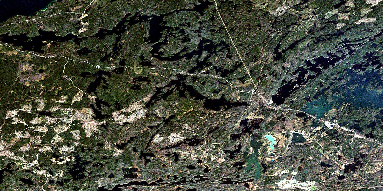
© Department of Natural Resources Canada. All rights reserved.
052B Related Maps:
052B Quetico052B01 Arrow Lake
052B02 Saganaga Lake
052B03 Knife Lake
052B04 Basswood Lake
052B05 Poohbah Lake
052B06 Kawnipi Lake
052B07 Mowe Lake
052B08 Marks Lake
052B09 Shebandowan
052B10 Burchell Lake
052B11 Pickerel Lake
052B12 Quetico Lake
052B13 Atikokan
052B14 Sapawe
052B15 Bedivere Lake
052B16 Savanne
