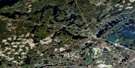
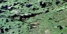
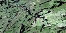
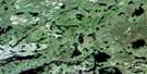
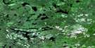
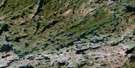
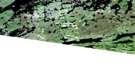
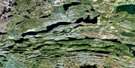
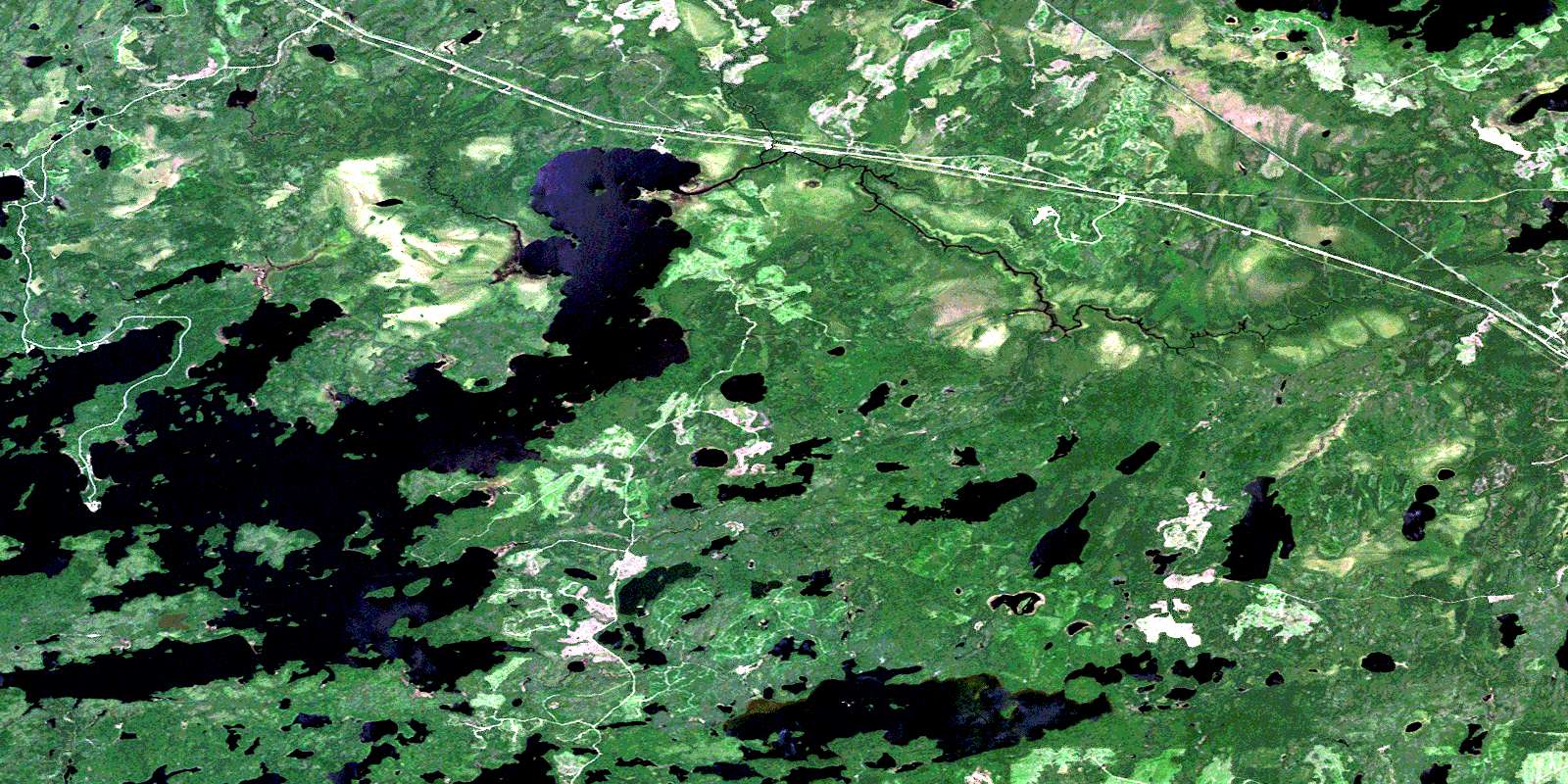
Savanne Satellite Image Map
Download Free Aerial Photo 052B16 at 1:50,000 scale
Savanne Satellite Imagery
To view this satellite map, mouse over the air photo on the right.
You can also download this satellite image map for free:
052B16 Savanne high-resolution satellite image map.
Maps for the Savanne aerial map sheet 052B16 at 1:50,000 scale are also available in these versions:
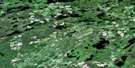
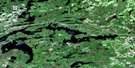
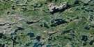
Savanne Surrounding Area Aerial Photo Maps
 |
 |
 |
 |
 |
 |
 |
 |
 |
 |
 |
 |
 |
 |
 |
 |
© Department of Natural Resources Canada. All rights reserved.
Savanne Gazetteer
The following places can be found on satellite image map 052B16 Savanne:
Savanne Satellite Image: Bays
Bolton BayDawson Bay
Open Bay
Portage Bay
Reserve Bay
Sawmill Bay
Shelter Bay
Trout Bay
Savanne Satellite Image: Capes
Pine PointPoplar Point
Sand Point
Savanne Satellite Image: Geographical areas
FallisGibbard
Golding
Goodfellow
Inwood
Joynt
Robson
Savanne
Wardrope
Savanne Satellite Image: Indian Reserves
Lac des Mille Lacs 22A1Lac des Mille Lacs Indian Reserve 22A1
Réserve indienne Lac des Mille Lacs 22A1
Savanne Satellite Image: Islands
Birch IslandCase Island
Hook Island
Mountain Islands
Rabbit Island
Shaft Island
Tunnel Island
Savanne Satellite Image: Lakes
Aquiline LakeArgon Lake
Athelstane Lake
Boundary Lake
Cabin Lake
Camp Lake
Campbell Lake
Clearwater Lake
Clements Lake
Cushing Lake
Dawson Lake
Dexter Lake
Doats Lake
Dozy Lake
Gessie Lake
Gill Lake
Glen Lake
Good Lake
Hawkshaw Lake
Henderson Lake
Home Lake
Ice Lake
Jordain Lake
Kashabowie Lake
Lac des Mille Lacs
Lac du Milieu
Lanigan Lake
Little Athelstane Lake
Little Kashabowie Lake
Long Lake
Minnow Lake
Modo Lake
Murphy Lake
Muskeg Lake
Oistrach Lake
Panache Lake
Peterkin Lake
Pistol Lake
Potash Lake
Quilp Lake
Rest Lake
Round Lake
Rusty Lake
Savanne Lake
Smith Lake
Savanne Satellite Image: Conservation areas
Lac des Mille Lacs Conservation ReserveSavanne Satellite Image: Rivers
Argon CreekAthelstane Creek
Dexter Creek
Little Savanne River
McKay Creek
Peterkin Creek
Rest Brook
Rest Creek
Savanne River
Upsala Creek
Savanne Satellite Image: Road features
Height of Land PortageSavanne Satellite Image: Unincorporated areas
ArgonBiota
James
Poland
Savanne
© Department of Natural Resources Canada. All rights reserved.
052B Related Maps:
052B Quetico052B01 Arrow Lake
052B02 Saganaga Lake
052B03 Knife Lake
052B04 Basswood Lake
052B05 Poohbah Lake
052B06 Kawnipi Lake
052B07 Mowe Lake
052B08 Marks Lake
052B09 Shebandowan
052B10 Burchell Lake
052B11 Pickerel Lake
052B12 Quetico Lake
052B13 Atikokan
052B14 Sapawe
052B15 Bedivere Lake
052B16 Savanne
