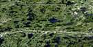
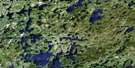
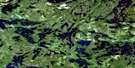
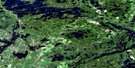
Lawrence Lake Satellite Image Map
Download Free Aerial Photo 052F06 at 1:50,000 scale
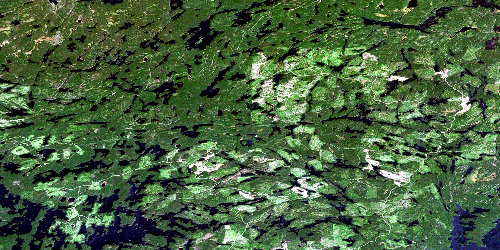
Lawrence Lake Satellite Imagery
To view this satellite map, mouse over the air photo on the right.
You can also download this satellite image map for free:
052F06 Lawrence Lake high-resolution satellite image map.
Maps for the Lawrence Lake aerial map sheet 052F06 at 1:50,000 scale are also available in these versions:
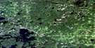
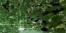
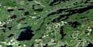
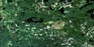
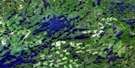
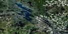
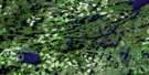
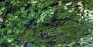
Lawrence Lake Surrounding Area Aerial Photo Maps
 |
 |
 |
 |
 |
 |
 |
 |
 |
 |
 |
 |
 |
 |
 |
 |
© Department of Natural Resources Canada. All rights reserved.
Lawrence Lake Gazetteer
The following places can be found on satellite image map 052F06 Lawrence Lake:
Lawrence Lake Satellite Image: Bays
Barker BayBrooks Bay
Canal Bay
Foreleg Bay
Grapnel Bay
Niven Bay
Olsen Bay
Otter Bay
Lawrence Lake Satellite Image: Capes
Sandpiper PointLawrence Lake Satellite Image: Channels
Gibraltar NarrowsMuskeg Narrows
Windfall Narrows
Lawrence Lake Satellite Image: Islands
Emm IslandLawrence Lake Satellite Image: Lakes
Ajax LakeAssinkepatakiso Lake
Atikwa Lake
Bait Lake
Basil Lake
Boot Lake
Bunyan Lake
Cleftrock Lake
Crispin Lake
Elbow Lake
Fish Hawk Lake
Fishhawk Lake
Fog Lake
Forrest Lake
Fourstar Lake
Foxtail Lake
Frypan Lake
Gordon Lake
Grapnel Lake
Gryphon Lake
Hector Lake
Hectorine Lake
Hill Lake
Kamangus Lake
Kamangus Lake
Kaminni Lake
Kaoskauta Lake
Kaoskauta Lake
Kapesakosi Lake
Konigson Lake
Lawrence Lake
Lost Axe Lake
Lower Manitou Lake
Meskwatessi Lake
Minnaweiskag Lake
Neal Lake
Nemeibennuk Lake
Paul Lake
Penassi Lake
Picture Narrows Lake
Priam Lake
Price Lake
Queer Rock Lake
Rainmaker Lake
Rowan Lake
Skinny Lake
Tadpole Lake
Walleye Lake
Weiseieno Lake
Whale Lake
Wolfe Lake
Lawrence Lake Satellite Image: Conservation areas
Lawrence Lake Conservation ReserveRainmaker Lake Conservation Reserve
Lawrence Lake Satellite Image: Rivers
Ajax CreekAtikwa River
Cleftrock Creek
Forrest Creek
Grapnel Creek
Nemeibennuk Brook
South Eagle River
© Department of Natural Resources Canada. All rights reserved.
052F Related Maps:
052F Dryden052F01 Pekagoning Lake
052F02 Entwine Lake
052F03 Harris Lake
052F04 Kakagi Lake
052F05 Caviar Lake
052F06 Lawrence Lake
052F07 Upper Manitou Lake
052F08 Stormy Lake
052F09 Dyment
052F10 Wabigoon
052F11 Osbourne Bay
052F12 Dryberry Lake
052F13 Feist Lake
052F14 Vermilion Bay
052F15 Dryden
052F16 Big Sandy Lake
