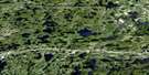
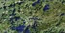
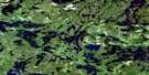
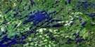
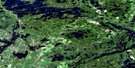
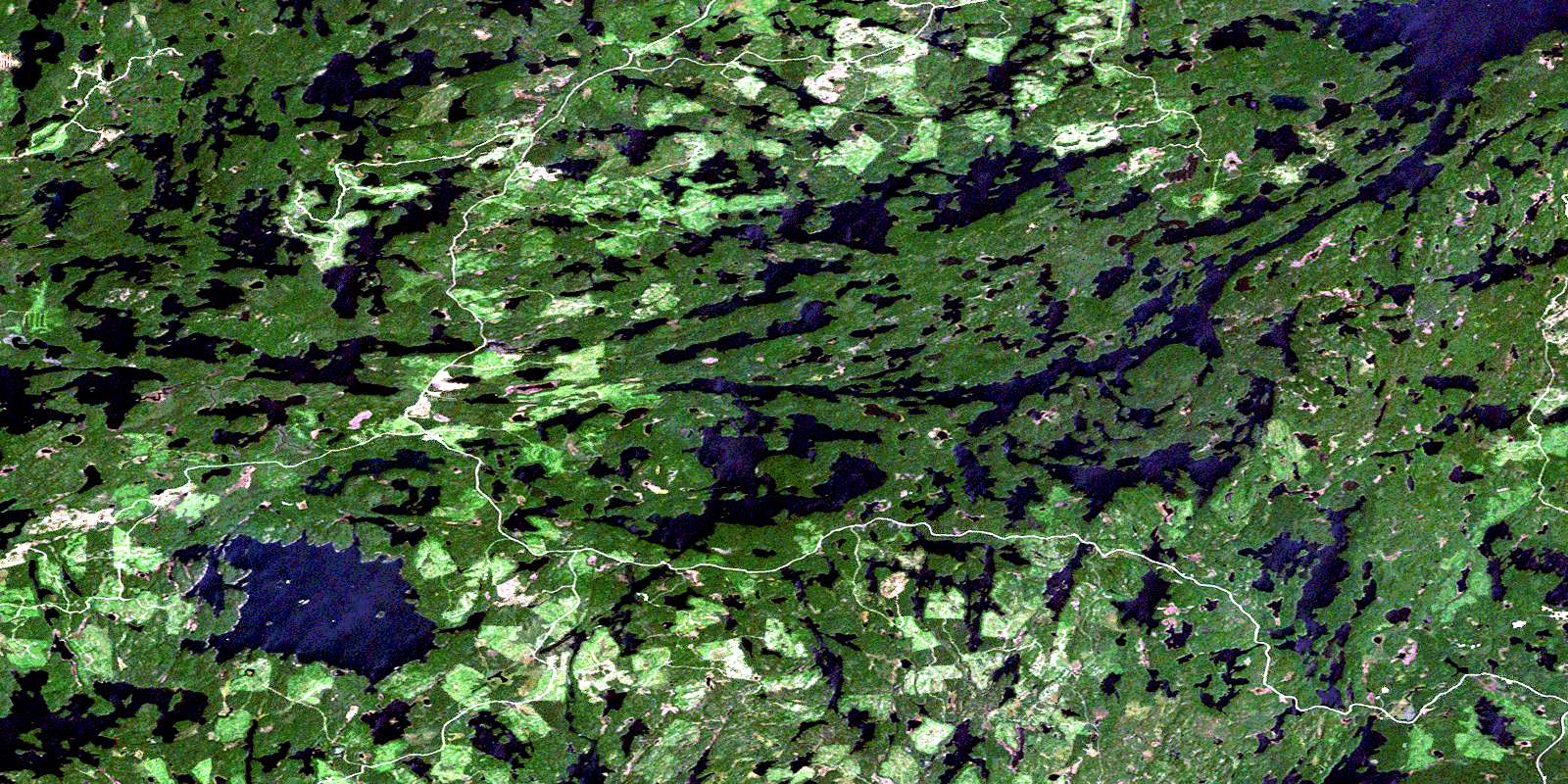
Harris Lake Satellite Image Map
Download Free Aerial Photo 052F03 at 1:50,000 scale
Harris Lake Satellite Imagery
To view this satellite map, mouse over the air photo on the right.
You can also download this satellite image map for free:
052F03 Harris Lake high-resolution satellite image map.
Maps for the Harris Lake aerial map sheet 052F03 at 1:50,000 scale are also available in these versions:
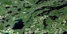
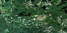
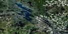
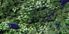
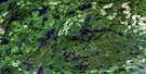
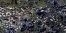
Harris Lake Surrounding Area Aerial Photo Maps
 |
 |
 |
 |
 |
 |
 |
 |
 |
 |
 |
 |
 |
 |
 |
 |
© Department of Natural Resources Canada. All rights reserved.
Harris Lake Gazetteer
The following places can be found on satellite image map 052F03 Harris Lake:
Harris Lake Satellite Image: Bays
Adams BayCanoe Bay
Furlonge Bay
Hidden Bay
Indian Bay
James Bay
Line Bay
Mirror Bay
Peep Bay
Smoke Bay
Snare Bay
South Bay
Steamboat Bay
Thompson Bay
Harris Lake Satellite Image: Capes
Famine PointMcDonald Point
Harris Lake Satellite Image: Channels
Cedar NarrowsMuskeg Narrows
Harris Lake Satellite Image: Islands
Birch IslandHemlock Island
Harris Lake Satellite Image: Lakes
Allen LakeAlonghill Lake
Asheigamo Lake
Baldwin Lake
Bartley Lake
Bat Lake
Bend Lake
Bivouac Lake
Bluffpoint Lake
Bretz Lake
Calder Lake
Caterpillar Lake
Cross Lake
Crossroute Lake
Davis Lake
Dogfly Lake
Edward Lake
Eric Lake
Esox Lake
Eyelid Lake
Fahey Lake
Flossie Lake
Floyd Lake
Fog Lake
Furlonge Lake
Gates Lake
George Lake
Grant Lake
Grave Lake
Gussie Lake
Harris Lake
Hill Lake
Holstein Lake
Hook Lake
Hutchins Lake
James Lake
Kahabeness Lake
Kaiarskons Lake
Kaiashkons Lake
Konigson Lake
Lawrence Lake
Long Grass Lake
Loonhaunt Lake
Lou Lake
Lower Furlonge Lake
Lower Manitou Lake
Missus Lake
Mister Lake
Moose Lake
Muskeg Lake
Napanee Lake
Neilson Lake
Obin Lake
Phairs Lake
Pickwick Lake
Pipestone Lake
Pontoon Lake
Prince Lake
Respite Lake
Route Lake
Seahorse Lake
Sitting Moose Lake
Smoulder Lake
Sphene Lake
Straw Lake
Sucan Lake
Sullivan Lake
Syndicate Lake
Three Island Lake
Toronto Lake
Twist Lake
Upper Lawrence Lake
Van Lake
Vedette Lake
Vickers Lake
Vista Lake
Whalen Lake
Wilson Lake
Yoke Lake
Harris Lake Satellite Image: Conservation areas
Manitou Conservation ReserveHarris Lake Satellite Image: Rivers
Big Canoe RiverBluffpoint Creek
Crossroute Creek
Hook Creek
Kaiashkons Creek
Konigson Creek
Little Canoe Creek
Little Canoe River
Loonhaunt River
Manitou River
Mister Creek
Pipestone Creek
Seahorse Creek
Straw Creek
Straw Creek
Straw Creek
Sucan Creek
Harris Lake Satellite Image: River features
Manitou StretchHarris Lake Satellite Image: Road features
Dogfly PortageKaiashkons Portage
Rocky Portage
Sucan Portage
Sullivan Portage
© Department of Natural Resources Canada. All rights reserved.
052F Related Maps:
052F Dryden052F01 Pekagoning Lake
052F02 Entwine Lake
052F03 Harris Lake
052F04 Kakagi Lake
052F05 Caviar Lake
052F06 Lawrence Lake
052F07 Upper Manitou Lake
052F08 Stormy Lake
052F09 Dyment
052F10 Wabigoon
052F11 Osbourne Bay
052F12 Dryberry Lake
052F13 Feist Lake
052F14 Vermilion Bay
052F15 Dryden
052F16 Big Sandy Lake
