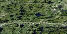
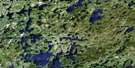
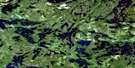
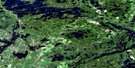
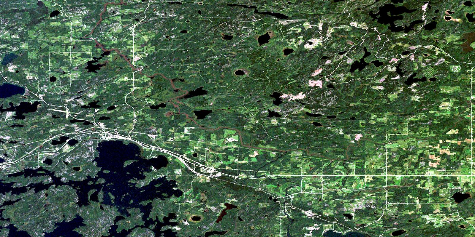
Vermilion Bay Satellite Image Map
Download Free Aerial Photo 052F14 at 1:50,000 scale
Vermilion Bay Satellite Imagery
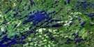
To view this satellite map, mouse over the air photo on the right.
You can also download this satellite image map for free:
052F14 Vermilion Bay high-resolution satellite image map.
Maps for the Vermilion Bay aerial map sheet 052F14 at 1:50,000 scale are also available in these versions:
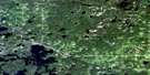
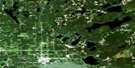
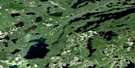
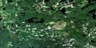
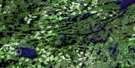
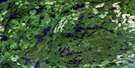
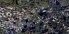
Vermilion Bay Surrounding Area Aerial Photo Maps
 |
 |
 |
 |
 |
 |
 |
 |
 |
 |
 |
 |
 |
 |
 |
 |
© Department of Natural Resources Canada. All rights reserved.
Vermilion Bay Gazetteer
The following places can be found on satellite image map 052F14 Vermilion Bay:
Vermilion Bay Satellite Image: Bays
Bottle BayFavell Bay
Jackfish Bay
Kuenzli Bay
McKenzie Bay
Myer's Bay
Portage Bay
Sportsman's Bay
Vermilion Bay
Waldhof Bay
West Arm
Vermilion Bay Satellite Image: Capes
Connaught PointVermilion Bay Satellite Image: Channels
Back ChannelCanoe Narrows
Vermilion Bay Satellite Image: Geographical areas
AubreyBuller
Colenso
Eton
Ladysmith
Langton
Mafeking
Mutrie
Redvers
Rugby
Sanford
Smellie
Temple
Wabigoon
Wauchope
Vermilion Bay Satellite Image: Indian Reserves
Eagle Lake Indian Reserve 27Réserve indienne Eagle Lake 27
Vermilion Bay Satellite Image: Islands
Boat IslandCamp Island
Canoe Island
McCall's Island
Round Island
Strawberry Island
Vermilion Bay Satellite Image: Lakes
Aaron LakeArdis Lake
Bell Lake
Blackbluff Lake
Blue Lake
Boer Lake
Bottle Bay Lake
Bowden Lake
Buller Lake
Caribou Lake
Chanley Lake
Clearwater Lake
Colenso Lake
Corner Lake
Cowamula Lake
Crystal Lake
Delano Lake
Dominick Lake
Eagle Lake
Ely Lake
Favell Lake
Final Lake
Grass Lake
Gray Lake
Hellsten Lake
Jake Lake
Knob Lake
Lake Dominick
Langton Lake
Leo Lake
Little Eagle Lake
Long Lake
Lorne Lake
Mafeking Lake
McLaws Lake
Mutrie Lake
Nixon Lake
Peganeis Lake
Pope Lake
Quibell Lake
Roderick Lake
Rosamond Lake
Shallow Lake
Smellie Lake
Soma Lake
Swanson Lake
Trout Lake
Walleye Lake
Walsh Lake
Wauchope Lake
Wildrice Lake
Yellow Lake
Vermilion Bay Satellite Image: Other municipal/district area - miscellaneous
MachinVermilion Bay Satellite Image: Conservation areas
Blue Lake Provincial ParkWest Wabigoon River Conservation Reserve
Vermilion Bay Satellite Image: Rivers
Aubrey CreekAubrey Creek
Beaver Creek
Buller Creek
Clearwater Creek
Colenso Creek
Delano Creek
Eagle River
Mutrie Creek
Rugby Creek
Shoshowae Creek
Smellie Creek
Vermilion Bay Satellite Image: River features
The Gilbert StretchVermilion Bay Satellite Image: Road features
Clearwater PortageVermilion Bay Satellite Image: Unincorporated areas
Eagle RiverEton-Rugby
Gunne
Lash
Minnitaki
Morgan
Quibell
Red Lake Road
Saint-Pascal-Baylon
Vermilion Bay
Waldhof
© Department of Natural Resources Canada. All rights reserved.
052F Related Maps:
052F Dryden052F01 Pekagoning Lake
052F02 Entwine Lake
052F03 Harris Lake
052F04 Kakagi Lake
052F05 Caviar Lake
052F06 Lawrence Lake
052F07 Upper Manitou Lake
052F08 Stormy Lake
052F09 Dyment
052F10 Wabigoon
052F11 Osbourne Bay
052F12 Dryberry Lake
052F13 Feist Lake
052F14 Vermilion Bay
052F15 Dryden
052F16 Big Sandy Lake
