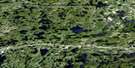
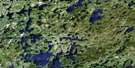
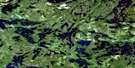
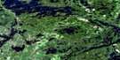
Pekagoning Lake Satellite Image Map
Download Free Aerial Photo 052F01 at 1:50,000 scale
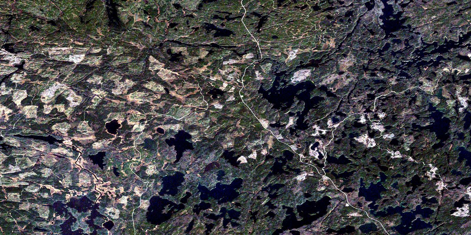
Pekagoning Lake Satellite Imagery
To view this satellite map, mouse over the air photo on the right.
You can also download this satellite image map for free:
052F01 Pekagoning Lake high-resolution satellite image map.
Maps for the Pekagoning Lake aerial map sheet 052F01 at 1:50,000 scale are also available in these versions:
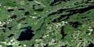
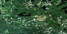
Pekagoning Lake Surrounding Area Aerial Photo Maps
 |
 |
 |
 |
 |
 |
 |
 |
 |
 |
 |
 |
 |
 |
 |
 |
© Department of Natural Resources Canada. All rights reserved.
Pekagoning Lake Gazetteer
The following places can be found on satellite image map 052F01 Pekagoning Lake:
Pekagoning Lake Satellite Image: Bays
West BayPekagoning Lake Satellite Image: Geographical areas
Rainy RiverPekagoning Lake Satellite Image: Islands
Turtle IslandPekagoning Lake Satellite Image: Lakes
Bernadine LakeBold Lake
Cabin Lake
Clearwater West Lake
Crook Lake
Dibble Lake
Eltrut Lake
Eric Lake
Esker Lake
Ghost Lake
Graytrout Lake
Grey Trout Lake
Greytrout Lake
Islets Lake
Jones Lake
Kenorain Lake
Kenoshay Lake
Kenoshay Lake
Kirsten Lake
Little Grey Trout Lake
Marten Lake
Marten Lake
Mount Lake
Patricia Lake
Pekagoning Lake
Pine Lake
Pine Lake
Rice Lake
Ricemere Lake
Roman Lake
Roughstone Lake
Rutter Lake
Secret Lake
Sedgwick Lake
Side Lake
Silvertip Lake
Smirch Lake
South Wapageisi Lake
Speed Lake
Style Lake
Sunny Lake
Warren Lake
Pekagoning Lake Satellite Image: Conservation areas
Side Lake Conservation ReserveTurtle River Provincial Park
Turtle River-White Otter Lake Provincial Park
Pekagoning Lake Satellite Image: Rivers
Colorado CreekGrey Trout Creek
Kenorain Creek
Manion Creek
Rawlinson Creek
Rice Creek
Rutter Creek
Side Creek
Turtle River
Wapageisi River
Warren Creek
© Department of Natural Resources Canada. All rights reserved.
052F Related Maps:
052F Dryden052F01 Pekagoning Lake
052F02 Entwine Lake
052F03 Harris Lake
052F04 Kakagi Lake
052F05 Caviar Lake
052F06 Lawrence Lake
052F07 Upper Manitou Lake
052F08 Stormy Lake
052F09 Dyment
052F10 Wabigoon
052F11 Osbourne Bay
052F12 Dryberry Lake
052F13 Feist Lake
052F14 Vermilion Bay
052F15 Dryden
052F16 Big Sandy Lake
