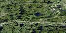
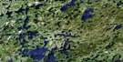
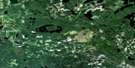
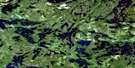
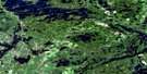
Big Sandy Lake Satellite Image Map
Download Free Aerial Photo 052F16 at 1:50,000 scale
Big Sandy Lake Satellite Imagery
To view this satellite map, mouse over the air photo on the right.
You can also download this satellite image map for free:
052F16 Big Sandy Lake high-resolution satellite image map.
Maps for the Big Sandy Lake aerial map sheet 052F16 at 1:50,000 scale are also available in these versions:
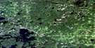
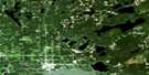
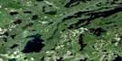
Big Sandy Lake Surrounding Area Aerial Photo Maps
 |
 |
 |
 |
 |
 |
 |
 |
 |
 |
 |
 |
 |
 |
 |
 |
© Department of Natural Resources Canada. All rights reserved.
Big Sandy Lake Gazetteer
The following places can be found on satellite image map 052F16 Big Sandy Lake:
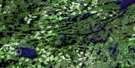
Big Sandy Lake Satellite Image: Bays
Chicago BayJackfish Bay
Lyons Bay
Pickerel Arm
Redpine Bay
Southwest Bay
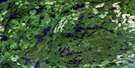
Big Sandy Lake Satellite Image: Channels
Redpine NarrowsBig Sandy Lake Satellite Image: Falls
Moonlight FallsBig Sandy Lake Satellite Image: Geographical areas
EchoHartman
Jordan
Laval
Lomond
MacFie
McAree
McIlraith
Pickerel
Webb
Big Sandy Lake Satellite Image: Islands
Biscuit IslandBurnt Island
Seagull Island
Wild Pigeon Island
Big Sandy Lake Satellite Image: Lakes
Anderson LakeAugust Lake
Bark Lake
Basket Lake
Beartrack Lake
Big Sandy Lake
Big Vermilion Lake
Blackfox Lake
Boling Lake
Booger Lake
Botink Lake
Butterfly Lake
Cedarbough Lake
Cloudlet Lake
Cole Lake
Crossecho Lake
Currier Lake
Dallas Lake
Diamond Lake
Diene Lake
Franciscan Lake
Gardnar Lake
George Lake
Hamilton Lake
Hartman Lake
Hooch Lake
Jacobus Lake
July Lake
June Lake
Kabik Lake
Kabikwabik Lake
Kathlyn Lake
Keike Lake
Keikewabik Lake
Lapp Lake
Lateral Lake
Laval Lake
Little Vermilion Lake
Lose Lake
MacFie Lake
Maskinonge Lake
May Lake
McIvor Lake
Melgund Lake
Mickle Lake
Miles Lake
Minnitaki Lake
Misfit Lake
Muskie Lake
Philcot Lake
Redhat Lake
Sandybeach Lake
September Lake
Slough Lake
Swi Lake
Swimit Lake
Tablerock Lake
Talman Lake
Tom Chief Lake
Tot Lake
Troutfly Lake
Wabik Lake
Big Sandy Lake Satellite Image: Conservation areas
Echo Township Wilderness AreaLola Lake Provincial Nature Reserve
Ojibway Provincial Park
Big Sandy Lake Satellite Image: Rivers
Beartrack CreekBlackfox Creek
Centrefire Creek
Finlayson Creek
Franciscan Creek
Hooch Creek
Hooch Creek
Jackfish Creek
Laval Creek
MacFie Creek
Mickle Creek
Muskie Creek
Sandy River
Suzanne River
Tot Creek
Twinflower Creek
Big Sandy Lake Satellite Image: Road features
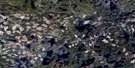
Blackface PortageBig Sandy Lake Satellite Image: Shoals
Submarine RockBig Sandy Lake Satellite Image: Towns
Sioux Lookout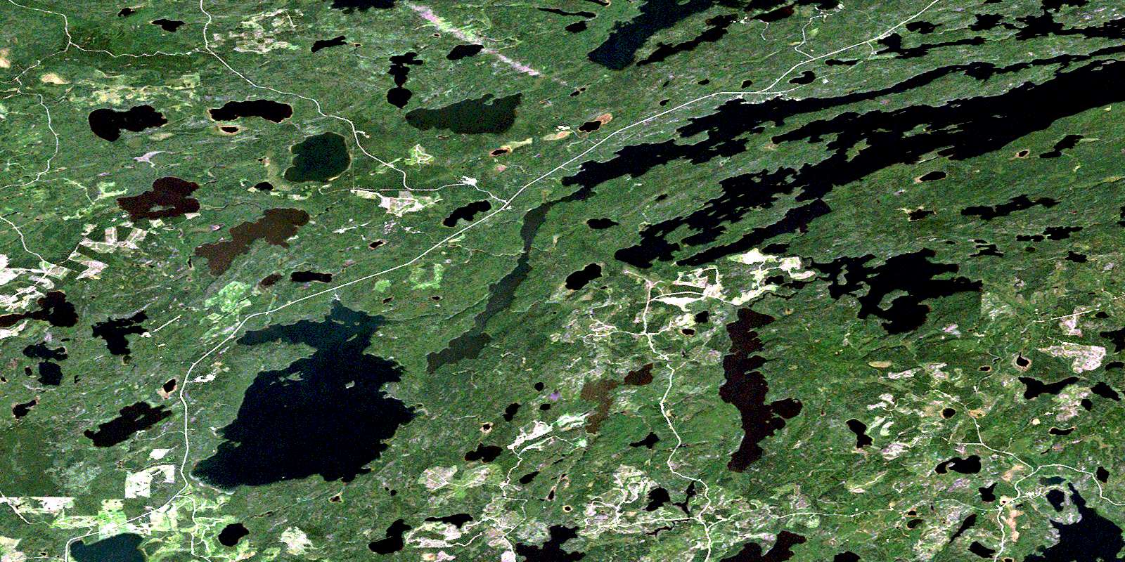
© Department of Natural Resources Canada. All rights reserved.
052F Related Maps:
052F Dryden052F01 Pekagoning Lake
052F02 Entwine Lake
052F03 Harris Lake
052F04 Kakagi Lake
052F05 Caviar Lake
052F06 Lawrence Lake
052F07 Upper Manitou Lake
052F08 Stormy Lake
052F09 Dyment
052F10 Wabigoon
052F11 Osbourne Bay
052F12 Dryberry Lake
052F13 Feist Lake
052F14 Vermilion Bay
052F15 Dryden
052F16 Big Sandy Lake
