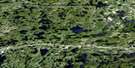
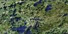
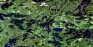
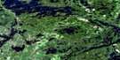
Entwine Lake Satellite Image Map
Download Free Aerial Photo 052F02 at 1:50,000 scale
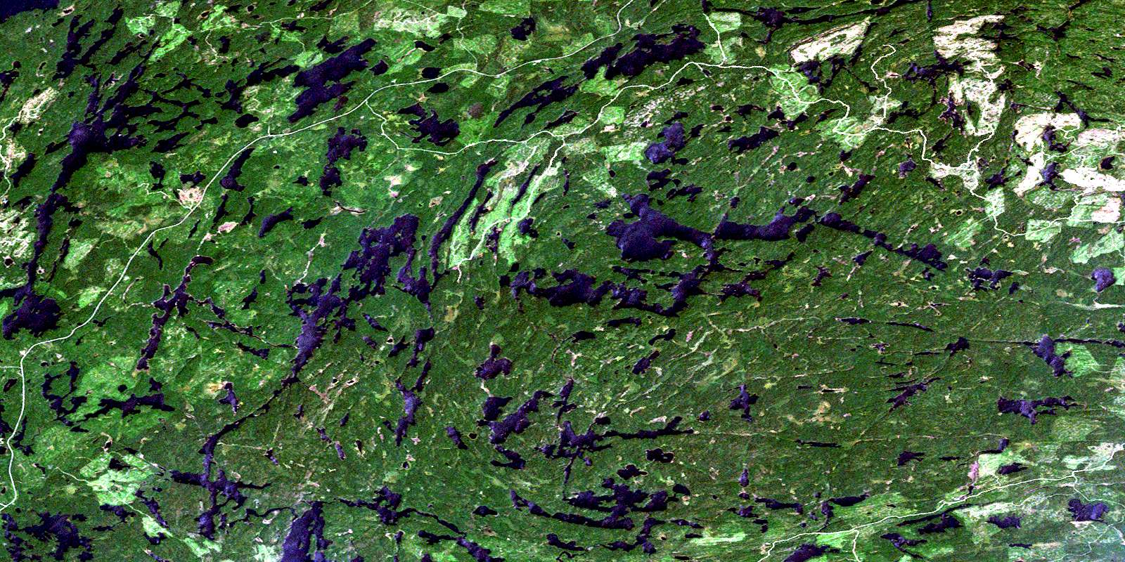
Entwine Lake Satellite Imagery
To view this satellite map, mouse over the air photo on the right.
You can also download this satellite image map for free:
052F02 Entwine Lake high-resolution satellite image map.
Maps for the Entwine Lake aerial map sheet 052F02 at 1:50,000 scale are also available in these versions:
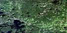
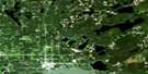
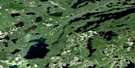
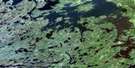
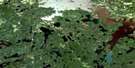
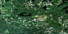
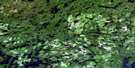
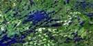
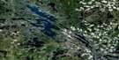
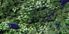
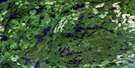
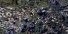
Entwine Lake Surrounding Area Aerial Photo Maps
 |
 |
 |
 |
 |
 |
 |
 |
 |
 |
 |
 |
 |
 |
 |
 |
© Department of Natural Resources Canada. All rights reserved.
Entwine Lake Gazetteer
The following places can be found on satellite image map 052F02 Entwine Lake:
Entwine Lake Satellite Image: Geographical areas
Rainy RiverEntwine Lake Satellite Image: Lakes
Arms LakeAronson Lake
Bearpaw Lake
Benstewart Lake
Crackshot Lake
Dumbell Lakes
Eagle Rock Lake
Entwine Lake
Fishtrap Lake
Highrock Lake
Holcroft Lake
Kahabeness Lake
Kaopskikamak Lake
Kawawia Lake
Kawawiag Lake
Kenozhe Lake
Kindle Lake
Kinewan Lake
Kinnyu Lake
Korpi Lake
Kukukahu Lake
Laver Lake
Lower Manitou Lake
Lumber Lake
Makomesut Lake
Mang Lake
Otukamamoan Lake
Sakwite Lake
Strange Lake
Upper Fishtrap Lake
Vedette Lake
Vickers Lake
Winkle Lake
Entwine Lake Satellite Image: Rivers
Bearpaw CreekColorado Creek
Entwine River
Fishtrap Creek
Heron River
Kaopskikamak River
Kawawiag Creek
Kinnyu Creek
Trout River
© Department of Natural Resources Canada. All rights reserved.
052F Related Maps:
052F Dryden052F01 Pekagoning Lake
052F02 Entwine Lake
052F03 Harris Lake
052F04 Kakagi Lake
052F05 Caviar Lake
052F06 Lawrence Lake
052F07 Upper Manitou Lake
052F08 Stormy Lake
052F09 Dyment
052F10 Wabigoon
052F11 Osbourne Bay
052F12 Dryberry Lake
052F13 Feist Lake
052F14 Vermilion Bay
052F15 Dryden
052F16 Big Sandy Lake
