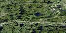
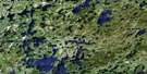
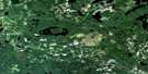
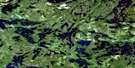
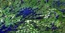
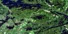
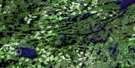
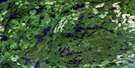
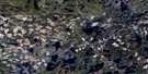
Wabigoon Satellite Image Map
Download Free Aerial Photo 052F10 at 1:50,000 scale
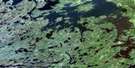
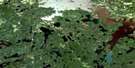
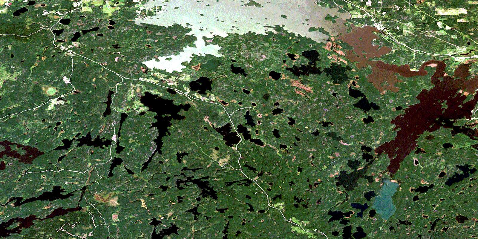
Wabigoon Satellite Imagery
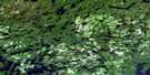
To view this satellite map, mouse over the air photo on the right.
You can also download this satellite image map for free:
052F10 Wabigoon high-resolution satellite image map.
Maps for the Wabigoon aerial map sheet 052F10 at 1:50,000 scale are also available in these versions:
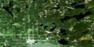
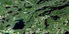
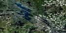
Wabigoon Surrounding Area Aerial Photo Maps
 |
 |
 |
 |
 |
 |
 |
 |
 |
 |
 |
 |
 |
 |
 |
 |
© Department of Natural Resources Canada. All rights reserved.
Wabigoon Gazetteer
The following places can be found on satellite image map 052F10 Wabigoon:
Wabigoon Satellite Image: Bays
Barrit BayContact Bay
Daunais Bay
Kagiwiosa Bay
Kaminnassin Bay
Kelpyn Bay
Larson Bay
Moose Bay
Mud Bay
Muskie Bay
Niven Bay
Olsen Bay
Osbourne Bay
Peg Leg Joe's Bay
Stanawan Bay
Whitefish Bay
Wildcat Bay
Wabigoon Satellite Image: Capes
Alto's PointBowen Point
Bruce Point
McGraw's Point
Soapstone Point
Wabigoon Satellite Image: Channels
Brûlé NarrowsThe Canal
The Narrows
Whiteclay Narrows
Wabigoon Satellite Image: City
DrydenWabigoon Satellite Image: Falls
Ingall FallsWabigoon Satellite Image: Geographical areas
AubreyHartman
Satterly
Southworth
Van Horne
Zealand
Wabigoon Satellite Image: Indian Reserves
Réserve indienne Wabigoon Lake 27Wabigoon Lake 27
Wabigoon Lake Indian Reserve 27
Wabigoon Satellite Image: Islands
Anderson IslandChristie's Island
Copeland Island
Devil's Island
Dog Island
Fox Island
Graveyard Island
Green Island
Grenville Island
Powder Island
Wheeler's Island
Wabigoon Satellite Image: Lakes
Alston LakeBennett Lake
Bob Lake
Burr Lake
Butler Lake
Dinorwic Lake
Doré Lake
Eagle Lake
East Godson Lake
Emmons Lake
Flambeau Lake
Gladys Lake
Godson Lake
Guy Lake
Humphrey Lake
Ingall Lake
Kekekwa Lake
Larson Lake
Lavo Lake
Lost Lake
Marilyn Lake
Mary Lake
Maryjo Lake
Mile Lake
Minnehaha Lake
Nabish Lake
Oley Lake
Olsen Lake
Orchid Lake
Paulson Lake
Peak Lake
Pickerel Lake
Pitt Lake
Prig Lake
Pritchard Lake
Rock Lake
Snowfall Lake
Stuart Lake
Tobacco Lake
Trap Lake
Tremeer Lake
Turtlepond Lake
Twingrass Lakes
Ukik Lake
Wabigoon Lake
Watt Lake
Whitewater Lake
Wabigoon Satellite Image: Other municipal/district area - miscellaneous
BarclayWabigoon Satellite Image: Conservation areas
Butler Lake Provincial Nature ReserveWabigoon Satellite Image: Rapids
The RapidsWawapus Falls
Wabigoon Satellite Image: Rivers
Blackburn CreekBlackwater Creek
Burr Creek
Crooked River
Godson Creek
Hughes Brook
Hughes Brook
Hughes Creek
Kekekwa Creek
McHugh Creek
McKenzie Creek
McLeod's Creek
Nugget Creek
Pichenninnis Brook
Pitchinese Creek
Rice River
Threefork Creek
Threefork River
Thunder Creek
Thunder River
Tobacco Creek
Ukik Creek
Wabigoon River
Wawapus Creek
Wabigoon Satellite Image: Unincorporated areas
DinorwicWabigoon
© Department of Natural Resources Canada. All rights reserved.
052F Related Maps:
052F Dryden052F01 Pekagoning Lake
052F02 Entwine Lake
052F03 Harris Lake
052F04 Kakagi Lake
052F05 Caviar Lake
052F06 Lawrence Lake
052F07 Upper Manitou Lake
052F08 Stormy Lake
052F09 Dyment
052F10 Wabigoon
052F11 Osbourne Bay
052F12 Dryberry Lake
052F13 Feist Lake
052F14 Vermilion Bay
052F15 Dryden
052F16 Big Sandy Lake
