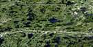
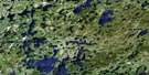
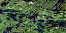
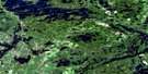
Feist Lake Satellite Image Map
Download Free Aerial Photo 052F13 at 1:50,000 scale
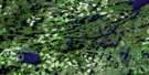
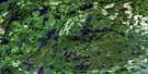
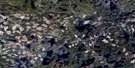
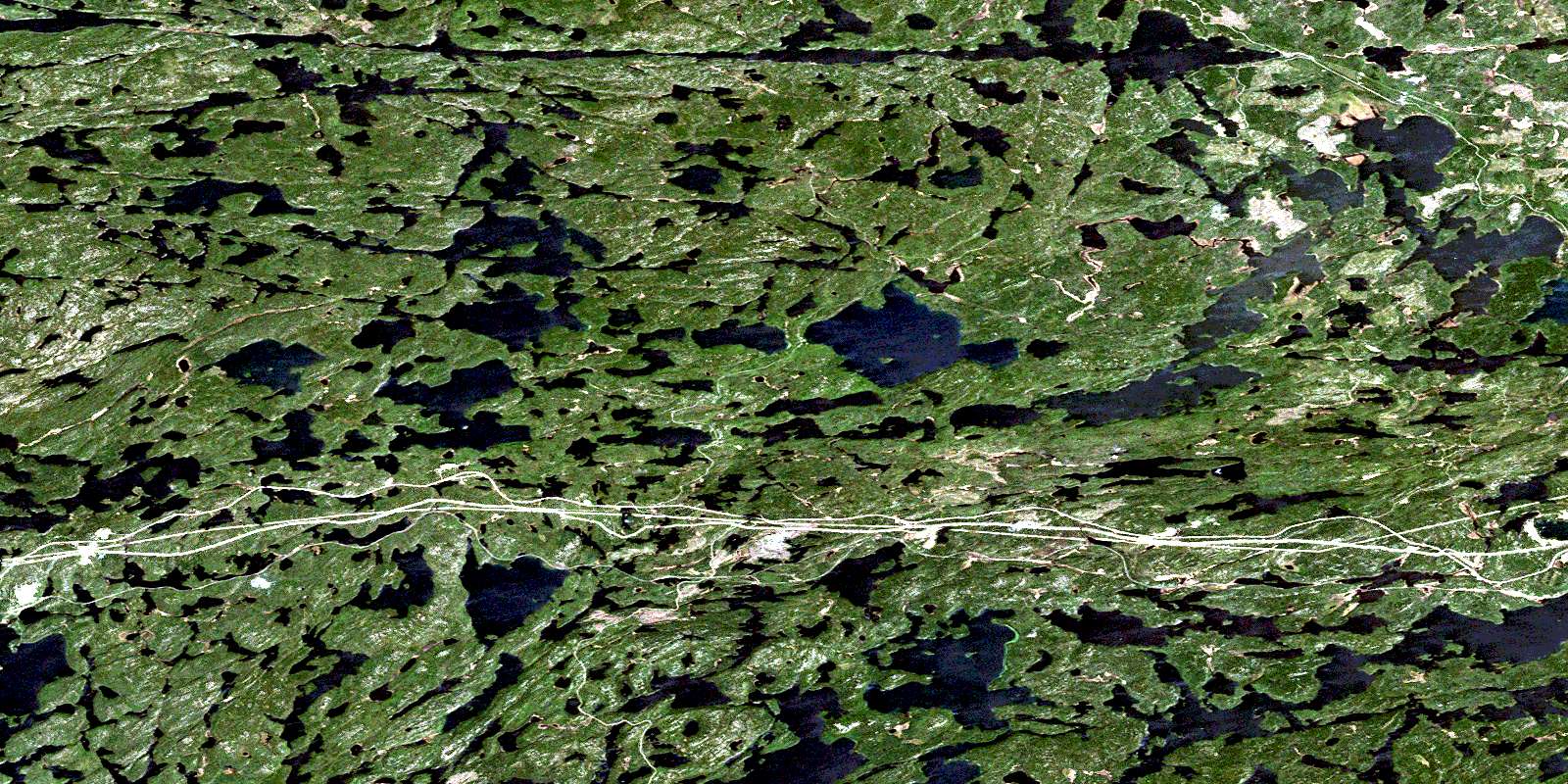
Feist Lake Satellite Imagery
To view this satellite map, mouse over the air photo on the right.
You can also download this satellite image map for free:
052F13 Feist Lake high-resolution satellite image map.
Maps for the Feist Lake aerial map sheet 052F13 at 1:50,000 scale are also available in these versions:
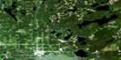
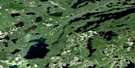
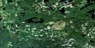
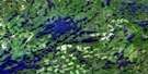
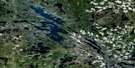
Feist Lake Surrounding Area Aerial Photo Maps
 |
 |
 |
 |
 |
 |
 |
 |
 |
 |
 |
 |
 |
 |
 |
 |
© Department of Natural Resources Canada. All rights reserved.
Feist Lake Gazetteer
The following places can be found on satellite image map 052F13 Feist Lake:
Feist Lake Satellite Image: Bays
Boulder BayIowa Bay
Jackfish Bay
Long Bay
Noname Bay
Outlet Bay
Railway Bay
West Arm
Feist Lake Satellite Image: Geographical areas
BridgesDesmond
Docker
MacNicol
Smellie
Tustin
Feist Lake Satellite Image: Lakes
Aaron LakeAlexandra Lake
Anteater Lake
Augite Lake
Balmain Lake
Bass Lake
Bean Lake
Bee Lake
Beebee Lake
Big Beaver Lake
Big Island Lake
Big Moose Lake
Bill's Lake
Black Lakes
Blue Lake
Bowden Lake
Brown Trout Lake
Brownie Lake
Bruin Lake
Canyon Lake
Carnilac Lake
Clare Lake
Cobble Lake
Corner Lake
Crabclaw Lake
Daniels Lake
Dicker Lake
Eagle Lake
Earngey Lake
Edison Lake
Edward Lake
Favel Lake
Feist Lake
Flegg Lake
Foot Lake
Forest Lake
Game Lake
Geejay Lake
George Lake
Gooseneck Lake
Gordon Lake
Hagen Lake
Harrison Lake
Hawk Lake
Hornell Lake
Horseshoe Lake
Indian Lake
Island Lake
Kimber Lake
Kushog Lake
Lacourse Lake
Lift Lake
Lilium Lake
Linklater Lake
Little Gordon Lake
Little Joe Lake
Little Moose Lake
Lower Stewart Lake
Manomin Lake
Medicine Lake
Mirror Lake
Monkeywrench Lake
Mud Lake
Needle Lake
Octopus Lake
One Mile Lake
Otter Lake
Pearl Lake
Peterson Lake
Richard Lake
Robbie Burns Lake
S Lake
Shrub Lake
Silvery Lake
Skull Lake
Stewart Lake
Strawberry Lake
T Lake
Tilly Lake
Torrance Lake
Triangle Lake
Trout Lake
Upper Stewart Lake
Viaduct Lake
Violet Lake
Walleye Lake
Whitney Lake
Willard Lake
Windermere Lake
Winnange Lake
Feist Lake Satellite Image: Conservation areas
Winnange Lake Provincial ParkFeist Lake Satellite Image: Rivers
Berry RiverCanyon River
Clare Creek
Crabclaw Creek
Daniels Creek
Dicker Creek
Flegg Creek
Gilbert Creek
Hagen Creek
Moose Creek
Shrub Creek
Feist Lake Satellite Image: River features
The Gilbert StretchFeist Lake Satellite Image: Unincorporated areas
CanyonEdison
Favel
Hawk Lake
McIntosh
Pine
Willard Lake
© Department of Natural Resources Canada. All rights reserved.
052F Related Maps:
052F Dryden052F01 Pekagoning Lake
052F02 Entwine Lake
052F03 Harris Lake
052F04 Kakagi Lake
052F05 Caviar Lake
052F06 Lawrence Lake
052F07 Upper Manitou Lake
052F08 Stormy Lake
052F09 Dyment
052F10 Wabigoon
052F11 Osbourne Bay
052F12 Dryberry Lake
052F13 Feist Lake
052F14 Vermilion Bay
052F15 Dryden
052F16 Big Sandy Lake
