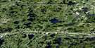
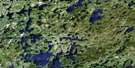
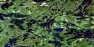
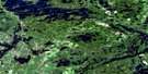
Osbourne Bay Satellite Image Map
Download Free Aerial Photo 052F11 at 1:50,000 scale
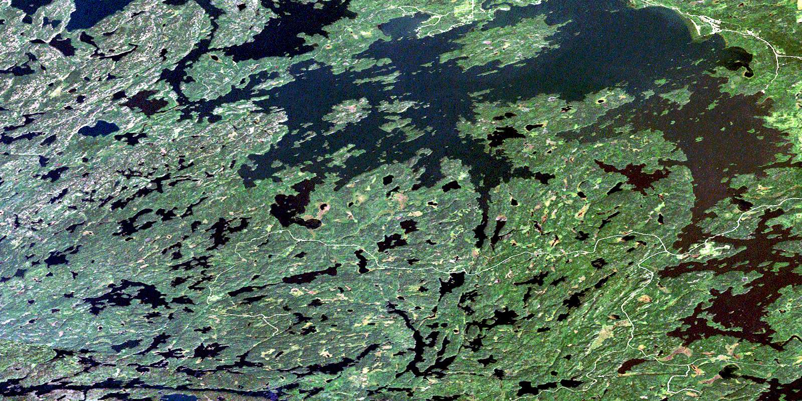
Osbourne Bay Satellite Imagery
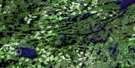
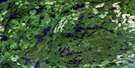
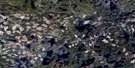
To view this satellite map, mouse over the air photo on the right.
You can also download this satellite image map for free:
052F11 Osbourne Bay high-resolution satellite image map.
Maps for the Osbourne Bay aerial map sheet 052F11 at 1:50,000 scale are also available in these versions:
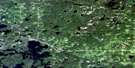
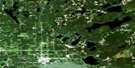
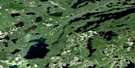
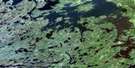
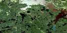
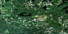
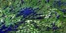
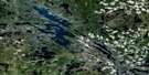
Osbourne Bay Surrounding Area Aerial Photo Maps
 |
 |
 |
 |
 |
 |
 |
 |
 |
 |
 |
 |
 |
 |
 |
 |
© Department of Natural Resources Canada. All rights reserved.
Osbourne Bay Gazetteer
The following places can be found on satellite image map 052F11 Osbourne Bay:
Osbourne Bay Satellite Image: Bays
Blind BayBottle Bay
Boulder Bay
Buchan Bay
Camp 6 Bay
Canal Bay
Eldorado Bay
Fornieri Bay
Froghead Bay
Kennedy's Bay
Little Muskeg Bay
Littleneck Bay
McKenzie Bay
Meridian Bay
Mukluk Bay
Muskeg Bay
Nash's Bay
Niven Bay
Osbourne Bay
Outlet Bay
Portage Bay
Reserve Bay
Rice Bay
Smith's Bay
Spring Bay
Stanton Bay
Temple Bay
Osbourne Bay Satellite Image: Capes
Bear PointBirch Point
Detour Point
Farabout Peninsula
Hilder's Point
Midway Point
Partridge Point
Red Pine Point
Rendezvous Point
Windigo Point
Osbourne Bay Satellite Image: Channels
Back ChannelBear Narrows
Hole-in-the-Wall
Osbourne Bay Satellite Image: Falls
Meridian FallsOsbourne Bay Satellite Image: Geographical areas
TempleOsbourne Bay Satellite Image: Indian Reserves
Eagle Lake 27Eagle Lake Indian Reserve 27
Réserve indienne Eagle Lake 27
Osbourne Bay Satellite Image: Islands
Beach IslandBirch Island
Boat Island
Burnt Island
East Long Island
East Three Sisters
Fish Camp Island
Float Island
Garden Island
Green Island
Lone Pine Island
Midway Island
Net Island
North Twin Island
Owl Island
Perkins Island
Poplar Island
Prendible Island
South Twin Island
Staton Island
Swanson Islands
Viking Island
West Long Island
West Three Sisters
Windigo Island
Osbourne Bay Satellite Image: Lakes
Alford LakeAtikwa Lake
Bean Lake
Beaverhouse Lake
Big Goose Lake
Brown Trout Lake
Castor Lake
Chancellor Lake
Clearwater Lake
Darling Lake
Delano Lake
Eagle Lake
Easter Chicken Lake
Emmanuel Lake
Green Lake
Hartwick Lake
Higbee Lake
History Lake
Johnline Lake
Langford Lake
Line Lake
Little Goose Lake
Lost Lake
McGregor Lake
McKinstry Lake
Morah Lake
Mulcahy Lake
Oldcamp Lake
Passover Lake
Pelham Lake
Pikwans Lake
Prendible Lake
Robbins Lake
Scarp Lake
Secretary Lake
Shako Lake
Slaughterhouse Lake
Straight Lake
Trout Lake
Vee Lake
Walleye Lake
Osbourne Bay Satellite Image: Other municipal/district area - miscellaneous
MachinOsbourne Bay Satellite Image: Conservation areas
Eagle Lake Islands Conservation ReserveOsbourne Bay Satellite Image: Rivers
Atikwa RiverBarren Brook
Clearwater Creek
Darling Creek
Eagle River
Eldorado Creek
Meander Brook
Meander Creek
Meridian Creek
Nabish Creek
Piskegomang Brook
Rice River
Shako Creek
Osbourne Bay Satellite Image: Road features
Ritchie PortageOsbourne Bay Satellite Image: Shoals
Barber PoleColeman's Reef
Deadman's Reef
Skye's Reef
Viking Reef
Walleye Rock One
Walleye Rock Two
Osbourne Bay Satellite Image: Unincorporated areas
Eagle RiverMigisi Sahgaigan
© Department of Natural Resources Canada. All rights reserved.
052F Related Maps:
052F Dryden052F01 Pekagoning Lake
052F02 Entwine Lake
052F03 Harris Lake
052F04 Kakagi Lake
052F05 Caviar Lake
052F06 Lawrence Lake
052F07 Upper Manitou Lake
052F08 Stormy Lake
052F09 Dyment
052F10 Wabigoon
052F11 Osbourne Bay
052F12 Dryberry Lake
052F13 Feist Lake
052F14 Vermilion Bay
052F15 Dryden
052F16 Big Sandy Lake
