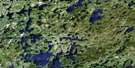
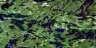
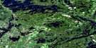
Kakagi Lake Satellite Image Map
Download Free Aerial Photo 052F04 at 1:50,000 scale
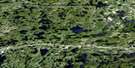
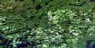
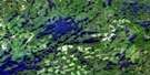
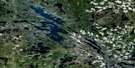
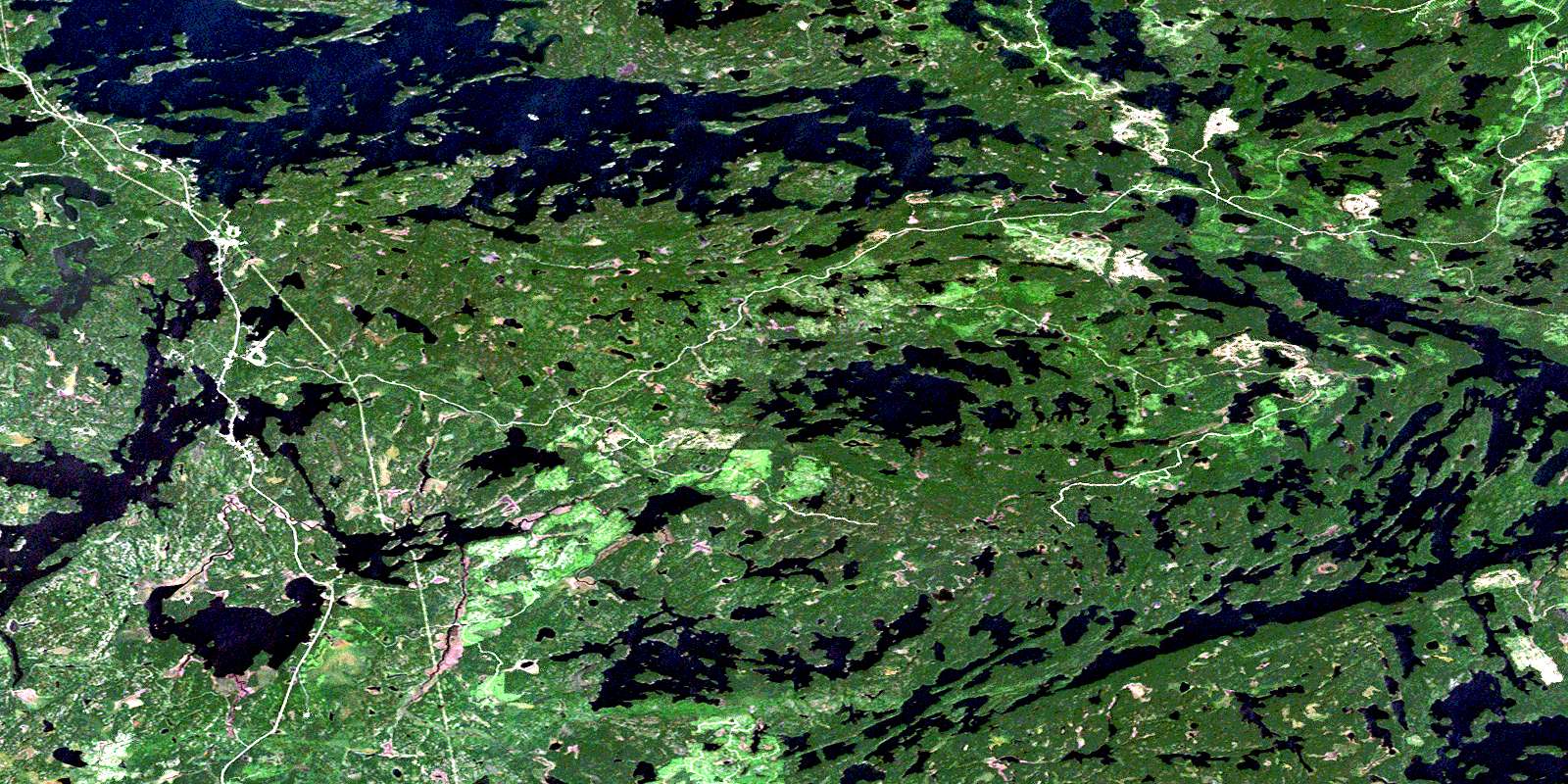
Kakagi Lake Satellite Imagery
To view this satellite map, mouse over the air photo on the right.
You can also download this satellite image map for free:
052F04 Kakagi Lake high-resolution satellite image map.
Maps for the Kakagi Lake aerial map sheet 052F04 at 1:50,000 scale are also available in these versions:
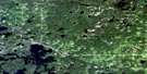
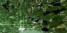
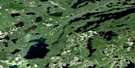
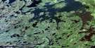
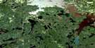
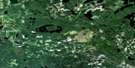
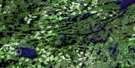
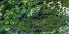
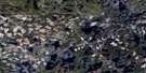
Kakagi Lake Surrounding Area Aerial Photo Maps
 |
 |
 |
 |
 |
 |
 |
 |
 |
 |
 |
 |
 |
 |
 |
 |
© Department of Natural Resources Canada. All rights reserved.
Kakagi Lake Gazetteer
The following places can be found on satellite image map 052F04 Kakagi Lake:
Kakagi Lake Satellite Image: Bays
Black BayBlacky Bay
Blind Bay
Crow Portage Bay
Gohere Bay
James Bay
Line Bay
Muskie Bay
Northwest Arm (of Pipestone Lake)
Oar Bay
Peninsula Bay
Phinney Bay
Sabaskong Bay
Stevens Bay
Stony Portage Bay
Young Bay
Kakagi Lake Satellite Image: Capes
Chase PointCliff Point
Cyclone Point
Dash Lake Point
Leatzow Point
Pivot Point
Sabaskong Peninsula
Sand Point
Tex Point
Kakagi Lake Satellite Image: Channels
Cold NarrowsGates Ajar
Sullivan Narrows
Kakagi Lake Satellite Image: Geographical areas
ClaxtonCroome
Godson
McLarty
Menary
Phillips
Rainy River
Rowe
Senn
Kakagi Lake Satellite Image: Indian Reserves
Réserve indienne Sabaskong Bay 35DSabaskong Bay 35D
Sabaskong Bay Indian Reserve 35D
Kakagi Lake Satellite Image: Islands
Bear IslandBirch Island
Birch Island
Corner Island
Emils Island
Fish Island
Gold Point Island
Green Island
Mink Island
Mosquito Point Island
Pine Island
Ross Island
Tompkins Island
Trails End Island
Wolf Island
Kakagi Lake Satellite Image: Lakes
Anstey LakeAremis Lake
Athos Lake
Bartley Lake
Bass Lake
Bethune Lake
Britton Lake
Brooks Lake
Brown Trout Lake
Burditt Lake
Caliper Lake
Calvert Lake
Cameron Lake
Campbell Lake
Carver Lake
Clarkson Lake
Cobourg Lake
Dad Lake
Darrow Lake
D'Artagnan Lake
Dash Lake
Derby Lake
Dorothy Lake
Feather Lake
Fournier Lake
Gates Ajar Lake
Graham Lake
Helena Lake
Heronry Lake
Hornberg Lake
Hospital Lake
Kakabikitchiwan Lake
Kakagi Lake
Katimiagamak Lake
Kishkutena Lake
Knauf Lake
Lac des Bois
Lake of the Woods
Little Kishkutena Lake
Little Trout Lake
Loonhaunt Lake
Lower Brooks Lake
Lower Twin Lake
Marl Lake
Maw Lake
Mongus Lake
Nightjar Lake
Osipasinni Lake
Otterskin Lake
Phinney Lake
Pinus Lake
Pipestone Lake
Quida Lake
Sandhill Lake
Schistose Lake
Shallow Water Lake
Silver Lake
Slender Lake
South Narrow Lake
South Otterskin Lake
Stanbury Lake
Stonedam Lake
Summit Lake
Tank Lake
Tompkins Lake
Upper Twin Lake
Weld Lake
Wigwam Lake
Kakagi Lake Satellite Image: Other municipal/district area - miscellaneous
McGeorge & WillingdonSioux Narrows
Sioux Narrows Nestor Falls
Sioux Narrows-Nestor Falls
Kakagi Lake Satellite Image: Conservation areas
Caliper Lake Provincial ParkDerby Lake Wilderness Area
Pipestone Conservation Reserve
Kakagi Lake Satellite Image: Rivers
Bartley CreekBrooks Creek
Burnt Creek
Carver Creek
Clarkson Creek
D'Artagnan Creek
Katimia Creek
Log Creek
Manomin River
Phinney Creek
Sabaskong River
Kakagi Lake Satellite Image: Road features
Height of Land PortageLoon Portage
Phinney Lake Portage
Wade Portage
Kakagi Lake Satellite Image: Unincorporated areas
Caliper LakeCrow Lake
Nestor Falls
One Sided Lake
© Department of Natural Resources Canada. All rights reserved.
052F Related Maps:
052F Dryden052F01 Pekagoning Lake
052F02 Entwine Lake
052F03 Harris Lake
052F04 Kakagi Lake
052F05 Caviar Lake
052F06 Lawrence Lake
052F07 Upper Manitou Lake
052F08 Stormy Lake
052F09 Dyment
052F10 Wabigoon
052F11 Osbourne Bay
052F12 Dryberry Lake
052F13 Feist Lake
052F14 Vermilion Bay
052F15 Dryden
052F16 Big Sandy Lake
