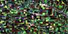
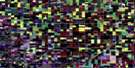
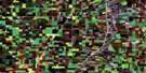
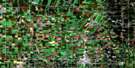
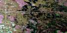
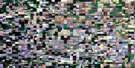
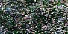
Vivian Satellite Image Map
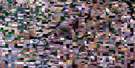
Download Free Aerial Photo 062H16 at 1:50,000 scale
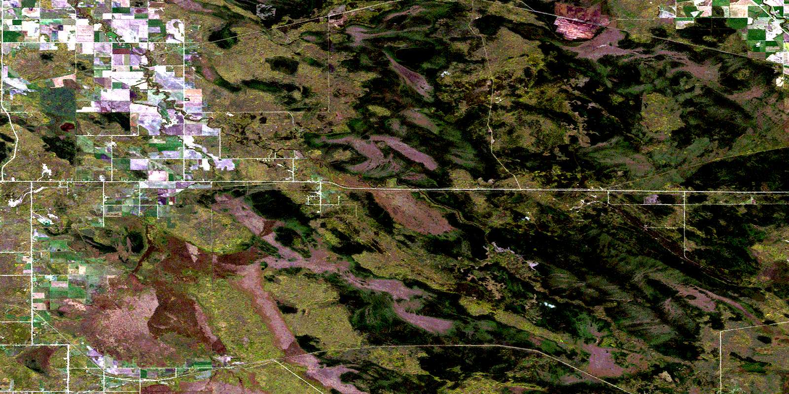
Vivian Satellite Imagery
To view this satellite map, mouse over the air photo on the right.
You can also download this satellite image map for free:
062H16 Vivian high-resolution satellite image map.
Maps for the Vivian aerial map sheet 062H16 at 1:50,000 scale are also available in these versions:
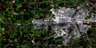
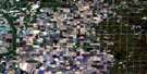
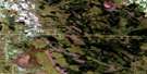
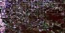
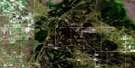
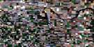
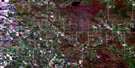
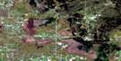
Vivian Surrounding Area Aerial Photo Maps
 |
 |
 |
 |
 |
 |
 |
 |
 |
 |
 |
 |
 |
 |
 |
 |
© Department of Natural Resources Canada. All rights reserved.
Vivian Gazetteer
The following places can be found on satellite image map 062H16 Vivian:
Vivian Satellite Image: Lakes
Cedar LakeJulius Lake
Vivian Satellite Image: Other municipal/district area - miscellaneous
BrokenheadReynolds
Springfield
Taché
Whitemouth
Vivian Satellite Image: Conservation areas
Agassiz Provincial ForestSandilands Provincial Forest
Vivian Satellite Image: Rivers
Brickyard CreekBrokenhead River
Hazel Creek
Plum Creek
Rivière Brokenhead
Whitemouth River
Vivian Satellite Image: Road features
Carrol BridgeVivian Satellite Image: Unincorporated areas
Brokenhead RiverContour
Craig Siding
Craigs
Hazel
Larkhall
Lewis
Lydiatt
Moss Spur
Nourse
Ostenfeld
Rita
Ross
Shelley
St. Genevieve
Ste. Genevieve
Ste. Rita
Vivian
Vivian Satellite Image: Low vegetation
Brokenhead SwampContour Bog
Julius Bog
Lewis Bog
Molson Bog
Nourse Bog
Shelley Bog
© Department of Natural Resources Canada. All rights reserved.
