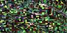
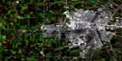
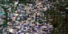
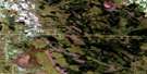
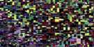
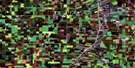
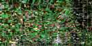
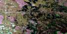
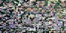
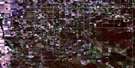
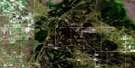
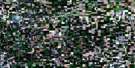
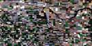
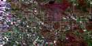
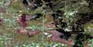
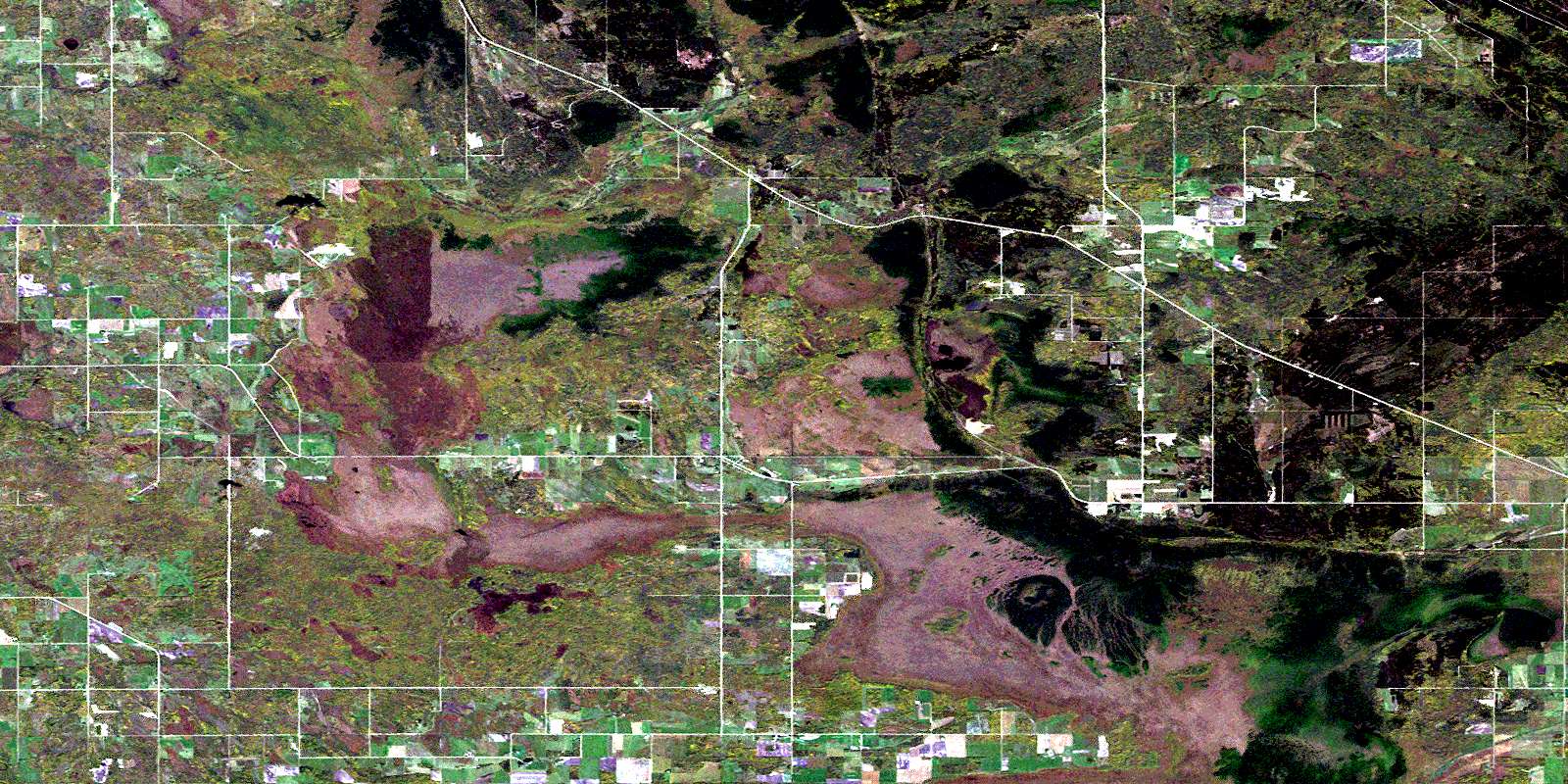
Sundown Satellite Image Map
Download Free Aerial Photo 062H01 at 1:50,000 scale
Sundown Satellite Imagery
To view this satellite map, mouse over the air photo on the right.
You can also download this satellite image map for free:
062H01 Sundown high-resolution satellite image map.
Maps for the Sundown aerial map sheet 062H01 at 1:50,000 scale are also available in these versions:
Sundown Surrounding Area Aerial Photo Maps
 |
 |
 |
 |
 |
 |
 |
 |
 |
 |
 |
 |
 |
 |
 |
 |
© Department of Natural Resources Canada. All rights reserved.
Sundown Gazetteer
The following places can be found on satellite image map 062H01 Sundown:
Sundown Satellite Image: Hydraulic construction
Arbakka DrainPiney West Drain
Vita Drain
Sundown Satellite Image: Lakes
Sundown LakeSundown Satellite Image: Mountains
Menisino HillSundown Satellite Image: Other municipal/district area - miscellaneous
PineyStuartburn
Sundown Satellite Image: Conservation areas
Sandilands Provincial ForestSundown Satellite Image: Provinces
ManitobaSundown Satellite Image: Rivers
Rat RiverRivière aux Rats
Roseau River
Sand River
West Pine Creek
Sundown Satellite Image: Road features
MOMs WayRoute MOM
Sundown Satellite Image: Unincorporated areas
ArbakkaCaliento
Carrick
Lonesand
Menisino
Sirko
Somme
Spurgrave
Sundown
Sundown Satellite Image: Low vegetation
Caliento BogCarrick Bog
Piney Bog
Sundown Bog
© Department of Natural Resources Canada. All rights reserved.
