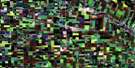
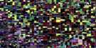
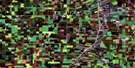
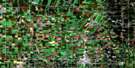
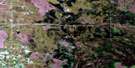
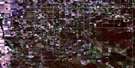
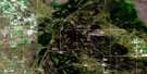
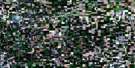
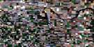
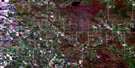
Roland Satellite Image Map
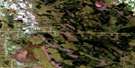
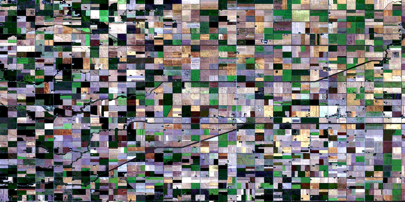
Download Free Aerial Photo 062H05 at 1:50,000 scale
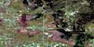
Roland Satellite Imagery
To view this satellite map, mouse over the air photo on the right.
You can also download this satellite image map for free:
062H05 Roland high-resolution satellite image map.
Maps for the Roland aerial map sheet 062H05 at 1:50,000 scale are also available in these versions:
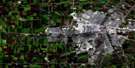
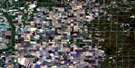
Roland Surrounding Area Aerial Photo Maps
 |
 |
 |
 |
 |
 |
 |
 |
 |
 |
 |
 |
 |
 |
 |
 |
© Department of Natural Resources Canada. All rights reserved.
Roland Gazetteer
The following places can be found on satellite image map 062H05 Roland:
Roland Satellite Image: Hydraulic construction
Bell DrainBrown Drain
Burnett Drain
Forrester Drain
Hepner Drain
Hespeler Drain
Howatt Drain
Kronsgart Drain
Russell Drain
Roland Satellite Image: Other municipal/district area - miscellaneous
DufferinMorris
Rhineland
Roland
Stanley
Roland Satellite Image: Conservation areas
C. D. Falk Wildlife RefugeE. Bergman Wildlife Refuge
J. Hooge Wildlife Refuge
J. Unrau Wildlife Refuge
M. Penner Wildlife Refuge
N. Eidse Wildlife Refuge
W. Sessions Wildlife Refuge
Roland Satellite Image: Rivers
Anderson CreekDeadhorse Creek
Graham Creek
Little Morris River
North Shannon Creek
Shannon Creek
Tobacco Creek
Roland Satellite Image: Towns
CarmanRoland Satellite Image: Unincorporated areas
GrahamHeenan
Kane
Kronsgart
Lowe Farm
Myrtle
Roland
Smiths
© Department of Natural Resources Canada. All rights reserved.
