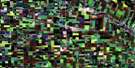
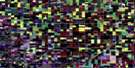
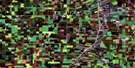
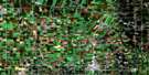
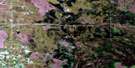
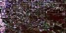
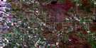
Brunkild Satellite Image Map
Download Free Aerial Photo 062H12 at 1:50,000 scale
Brunkild Satellite Imagery
To view this satellite map, mouse over the air photo on the right.
You can also download this satellite image map for free:
062H12 Brunkild high-resolution satellite image map.
Maps for the Brunkild aerial map sheet 062H12 at 1:50,000 scale are also available in these versions:
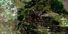
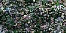
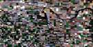
Brunkild Surrounding Area Aerial Photo Maps
 |
 |
 |
 |
 |
 |
 |
 |
 |
 |
 |
 |
 |
 |
 |
 |
© Department of Natural Resources Canada. All rights reserved.
Brunkild Gazetteer
The following places can be found on satellite image map 062H12 Brunkild:
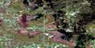
Brunkild Satellite Image: Channels
Boyne ChannelBrunkild Satellite Image: Hydraulic construction
11-A DrainAllison Drain
Barnland Drain
Bryson Drain
Codnor Drain
Forrester Drain
Franzman Drain
Hampson Dam
Karlenzig Drain
King Drain
McEachern Dam
Brunkild Satellite Image: Other municipal/district area - miscellaneous
DufferinGrey
Macdonald
Morris
Brunkild Satellite Image: Rivers
Boyne RiverElm Creek
La Salle River
Morris River
Norquay Channel
Rivière Morris
Rivière Sale
Sale River
Strauss Drain Coulee
Brunkild Satellite Image: Towns
CarmanBrunkild Satellite Image: Unincorporated areas
BarnsleyBrunkild
Culross
Elm Creek
Fannystelle
Ferndale
Homewood
Mollard
Sperling
Brunkild Satellite Image: Valleys
Kosc Coulee
© Department of Natural Resources Canada. All rights reserved.
