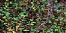
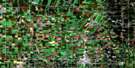
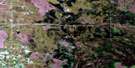
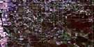
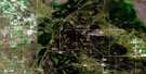
Emerson Satellite Image Map
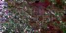
Download Free Aerial Photo 062H03 at 1:50,000 scale
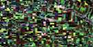
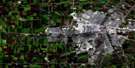
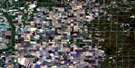
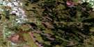
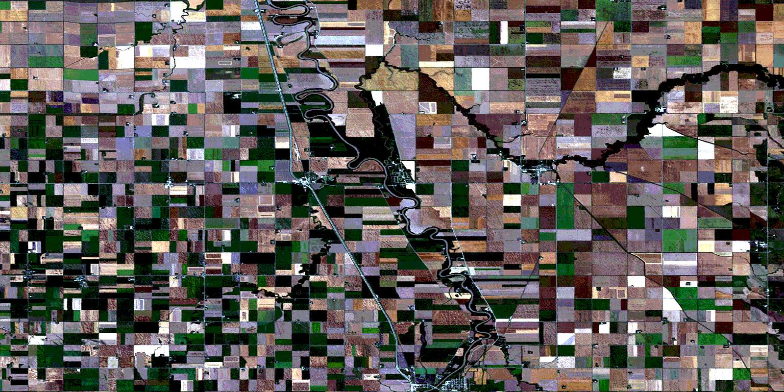
Emerson Satellite Imagery
To view this satellite map, mouse over the air photo on the right.
You can also download this satellite image map for free:
062H03 Emerson high-resolution satellite image map.
Maps for the Emerson aerial map sheet 062H03 at 1:50,000 scale are also available in these versions:
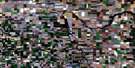
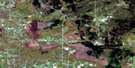
Emerson Surrounding Area Aerial Photo Maps
 |
 |
 |
 |
 |
 |
 |
 |
 |
 |
 |
 |
 |
 |
 |
 |
© Department of Natural Resources Canada. All rights reserved.
Emerson Gazetteer
The following places can be found on satellite image map 062H03 Emerson:
Emerson Satellite Image: Channels
Buffalo Lake ChannelEmerson Satellite Image: Geographical areas
Ste. AgatheEmerson Satellite Image: Hydraulic construction
Casson DrainDominion City Dam
Harlow Drain
Knopf Drain
Langside Drain
Main Drain
Rempel Drain
Stewart Drain
Thiessen Drain
Emerson Satellite Image: Indian Reserves
Roseau River 2Emerson Satellite Image: Lakes
Lake LouiseLouise Lake
Marion Lake
Emerson Satellite Image: Other municipal/district area - miscellaneous
FranklinMontcalm
Rhineland
Emerson Satellite Image: Provinces
ManitobaEmerson Satellite Image: Rivers
Bradley CouleeBuffalo Creek
Deadhorse Creek
Joe River
Jordan River
Marais River
Plum River
Red River
Rivière aux Marais
Rivière aux Prunes
Rivière Rouge
Roseau River
Emerson Satellite Image: Road features
Boundary Commission - N.W.M.P. RouteLangside Bridge
Lord Selkirk Highway
Route Lord Selkirk
St. Pie Ferry
Emerson Satellite Image: Towns
EmersonEmerson Satellite Image: Unincorporated areas
ArnaudChristie
Dominion City
Edenburg
Emerson Junction
Fredensthal
Fredensthal West
Ginew
Halbstadt
Hope Farm Spur
Letellier
Neubergthal
New Bercthal
Ridgeville
Riordan
Roseau River Reserve
Sommerfeld
St. Joseph
Stockport
Summerfeld
West Lynne
© Department of Natural Resources Canada. All rights reserved.
