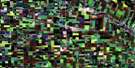
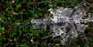
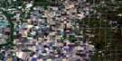
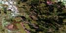
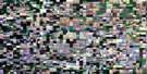
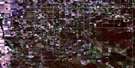
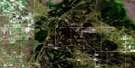
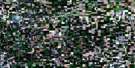
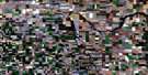
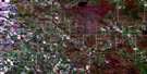
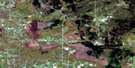
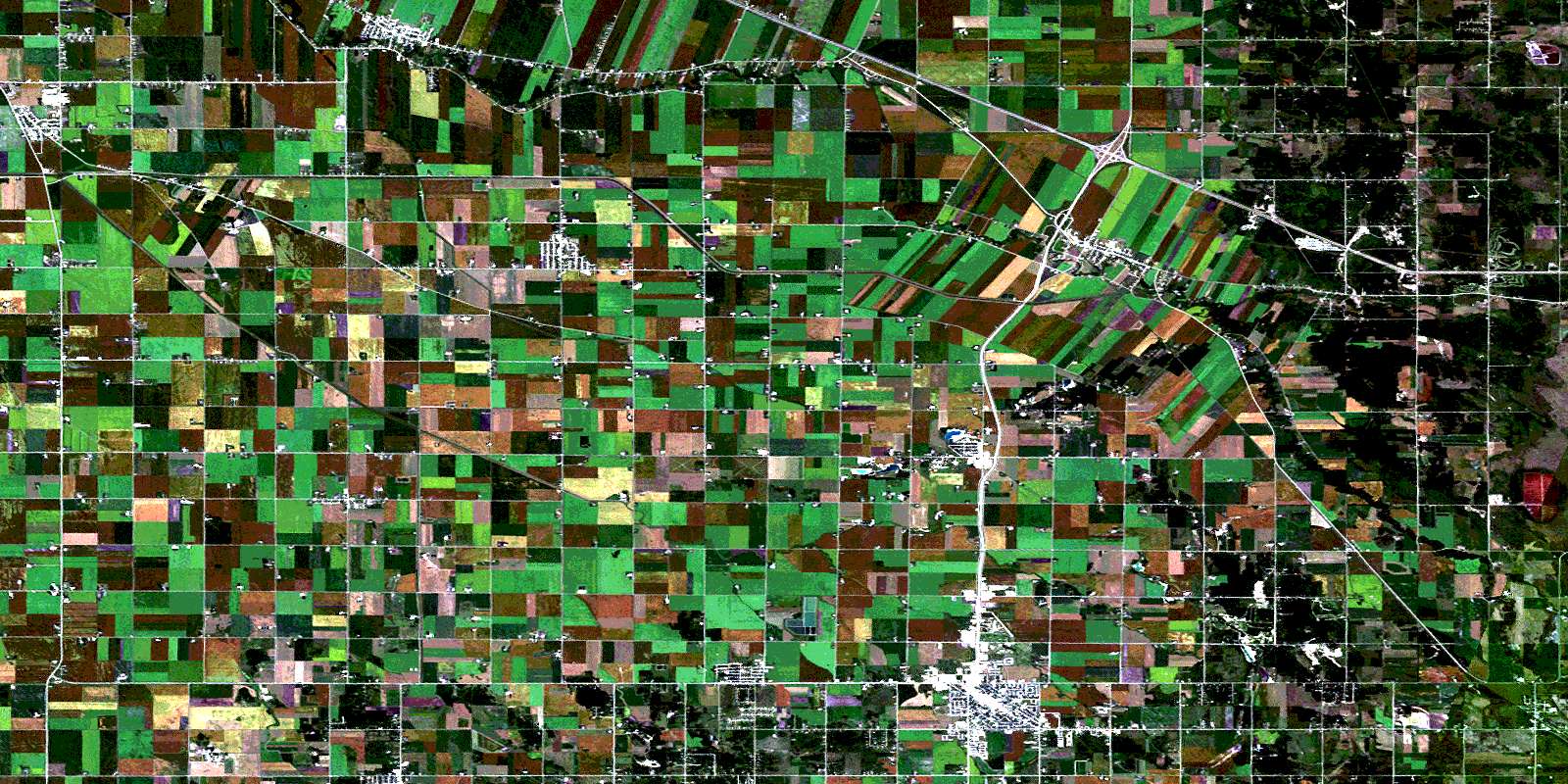
Ste Anne Satellite Image Map
Download Free Aerial Photo 062H10 at 1:50,000 scale
Ste Anne Satellite Imagery
To view this satellite map, mouse over the air photo on the right.
You can also download this satellite image map for free:
062H10 Ste Anne high-resolution satellite image map.
Maps for the Ste Anne aerial map sheet 062H10 at 1:50,000 scale are also available in these versions:
Ste Anne Surrounding Area Aerial Photo Maps
 |
 |
 |
 |
 |
 |
 |
 |
 |
 |
 |
 |
 |
 |
 |
 |
© Department of Natural Resources Canada. All rights reserved.
Ste Anne Gazetteer
The following places can be found on satellite image map 062H10 Ste Anne:
Ste Anne Satellite Image: City
SteinbachSte Anne Satellite Image: Geographical areas
LoretteOak Island Settlement
Ste. Anne
Ste Anne Satellite Image: Hydraulic construction
Canal de dérivation de la Rivière SeineSeine River Diversion
Seine River Diversion Dam
Youville Drain
Ste Anne Satellite Image: Lakes
Lake RivieraSte Anne Satellite Image: Other municipal/district area - miscellaneous
De SalaberryHanover
La Broquerie
Ritchot
Ste. Anne
Taché
Ste Anne Satellite Image: Rivers
Canal ManningFish Creek
Manning Canal
Rivière Seine
Ruisseau Fish
Seine River
Tourond Creek
Ste Anne Satellite Image: Road features
Chemin DawsonDawson Trail
MOMs Way
Ste Anne Satellite Image: Towns
Ste. AnneSte Anne Satellite Image: Unincorporated areas
BlumenortChortitz
Clear Springs
Dufresne
Giroux
Greenland
Ile des Chênes
Kleefeld
La Broquerie
La Coulée
Landmark
Linden
Lorette
Mitchell
New Bothwell
Paradise Village
Randolph
Saltel
St. Raymond
Ste. Anne des Chênes
Ste. Anne-des-Chênes
Ste-Geneviève
Tourond
© Department of Natural Resources Canada. All rights reserved.
