Elie Satellite Image Map
Download Free Aerial Photo 062H13 at 1:50,000 scale
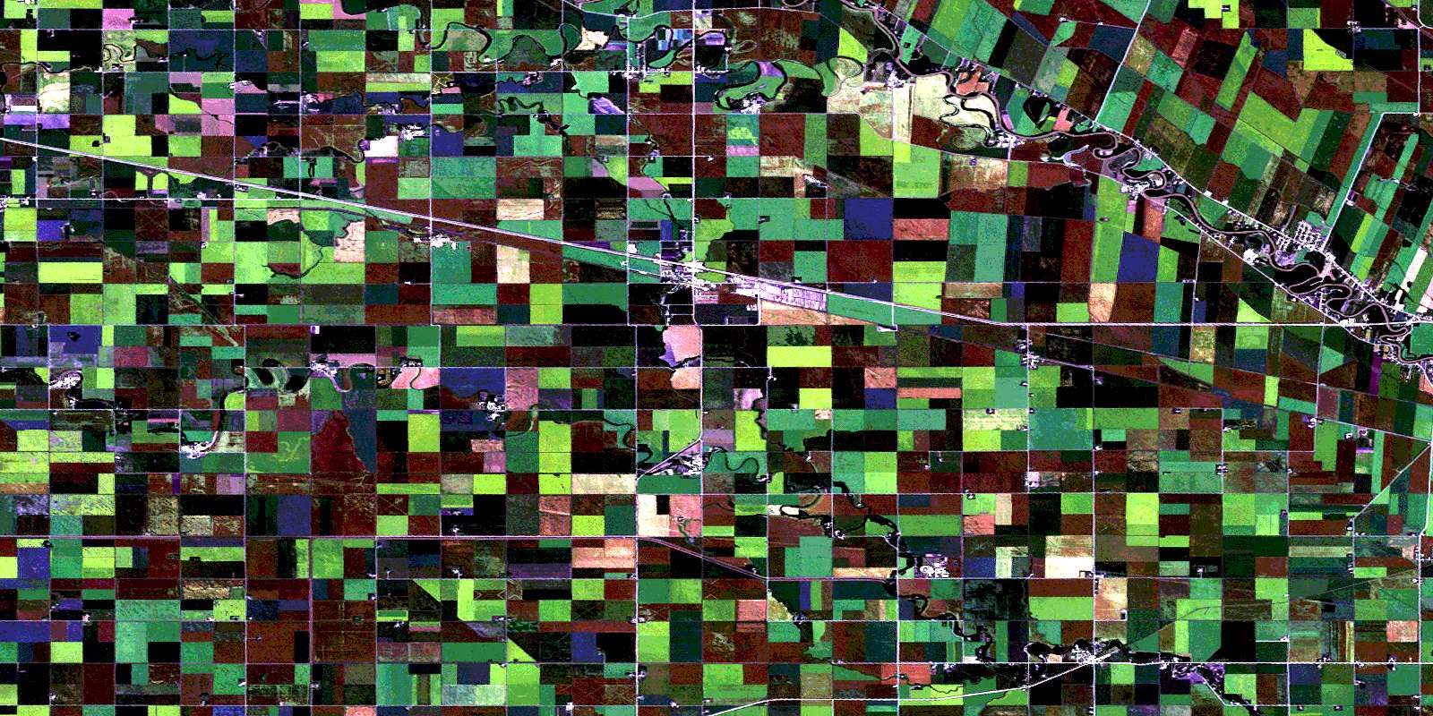
Elie Satellite Imagery
To view this satellite map, mouse over the air photo on the right.
You can also download this satellite image map for free:
062H13 Elie high-resolution satellite image map.
Maps for the Elie aerial map sheet 062H13 at 1:50,000 scale are also available in these versions:
Elie Surrounding Area Aerial Photo Maps
 |
 |
 |
 |
 |
 |
 |
 |
 |
 |
 |
 |
 |
 |
 |
 |
© Department of Natural Resources Canada. All rights reserved.
Elie Gazetteer
The following places can be found on satellite image map 062H13 Elie:
Elie Satellite Image: Geographical areas
Baie St. PaulSt. François Xavier
Elie Satellite Image: Hydraulic construction
Bryson DrainCodnor Drain
Dunlop Drain
Elie Dam
Houston Road Drain
Starbuck Dam
Starbuck Drain
Elie Satellite Image: Lakes
Maxwell OxbowRosedale Loop
Elie Satellite Image: Other municipal/district area - miscellaneous
CartierGrey
Macdonald
Portage la Prairie
Rosser
St. François Xavier
Elie Satellite Image: Rivers
Assiniboine RiverCekanauskas Creek
Elm Creek Channel
Elm River
First Creek
Fourth Creek
Hammercrest Creek
La Salle River
Meakin Creek
Mill Creek
Rivière Assiniboine
Rivière Sale
Sale River
Second Creek
Sturgeon Creek
Third Creek
West Branch La Salle River
Elie Satellite Image: Road features
Assiniboine TrailChemin Assiniboine
Elie Satellite Image: Unincorporated areas
BénardBénard
Cabot
Dacotah
Dugas
Elie
Fortier
Kawende
Lido Plage
North Elie
Oakville
Pigeon Lake
Springstein
St. Eustache
St. François Xavier
Starbuck
White Plains
Whiteplains
Willow Range
Elie Satellite Image: Valleys
Barickman CouleeScott Coulee
© Department of Natural Resources Canada. All rights reserved.
