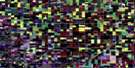
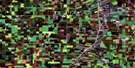
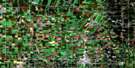
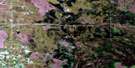
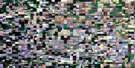
St Malo Satellite Image Map
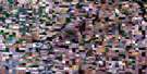
Download Free Aerial Photo 062H07 at 1:50,000 scale
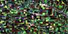
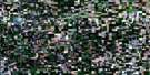
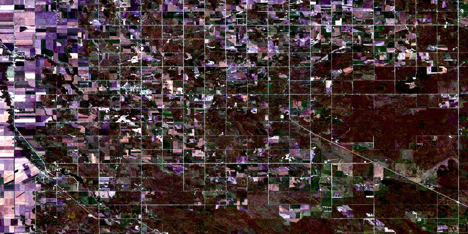
St Malo Satellite Imagery
To view this satellite map, mouse over the air photo on the right.
You can also download this satellite image map for free:
062H07 St Malo high-resolution satellite image map.
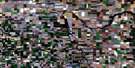
Maps for the St Malo aerial map sheet 062H07 at 1:50,000 scale are also available in these versions:
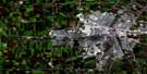
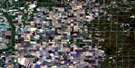
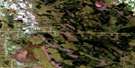
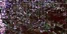
St Malo Surrounding Area Aerial Photo Maps
 |
 |
 |
 |
 |
 |
 |
 |
 |
 |
 |
 |
 |
 |
 |
 |
© Department of Natural Resources Canada. All rights reserved.
St Malo Gazetteer
The following places can be found on satellite image map 062H07 St Malo:
St Malo Satellite Image: City
SteinbachSt Malo Satellite Image: Cliffs
Coteau LambertCoteau Lamirande
St Malo Satellite Image: Geographical areas
Rat River SettlementSt. Malo Settlement
St Malo Satellite Image: Hydraulic construction
Pansy DrainSt. Malo Dam
St Malo Satellite Image: Lakes
Lac à BosséLac à Strange
St. Malo Lake
St Malo Satellite Image: Other municipal/district area - miscellaneous
De SalaberryFranklin
Hanover
La Broquerie
Stuartburn
St Malo Satellite Image: Conservation areas
St. Malo Provincial ParkSt. Malo Provincial Recreation Park
St. Malo Wildlife Management Area
St Malo Satellite Image: Rivers
Coulée des NaultJoubert Creek
Mosquito Creek
Rat River
Rivière aux Rats
Ruisseau Joubert
Tourond Creek
St Malo Satellite Image: Road features
MOMs WayRoute MOM
St Malo Satellite Image: Unincorporated areas
BarkfieldBristol
Carlowrie
Friedensfeld
Grunthal
Hochstadt
La Rochelle
Old Barkfield
Pansy
Rosengard
Sarto
Schoenshii
St. Malo
St. Pierre Jolys
St. Pierre Sud
Trentham
Zhoda
St Malo Satellite Image: Low vegetation
La Petite SwampMarais de Guertin
Marais des Roches
Rat River Swamp
St Malo Satellite Image: Villages
St. PierreSt. Pierre-Jolys
St-Pierre-Jolys
© Department of Natural Resources Canada. All rights reserved.
