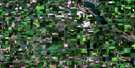
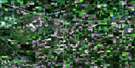
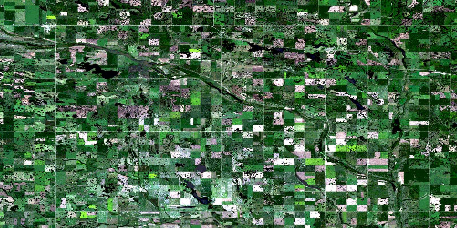
Montmartre Satellite Image Map
Download Free Aerial Photo 062L03 at 1:50,000 scale
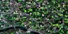
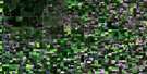
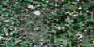
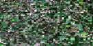
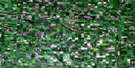
Montmartre Satellite Imagery
To view this satellite map, mouse over the air photo on the right.
You can also download this satellite image map for free:
062L03 Montmartre high-resolution satellite image map.
Maps for the Montmartre aerial map sheet 062L03 at 1:50,000 scale are also available in these versions:
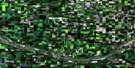
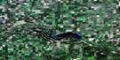
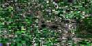
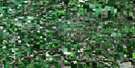
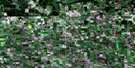
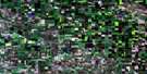
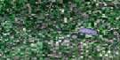
Montmartre Surrounding Area Aerial Photo Maps
 |
 |
 |
 |
 |
 |
 |
 |
 |
 |
 |
 |
 |
 |
 |
 |
© Department of Natural Resources Canada. All rights reserved.
Montmartre Gazetteer
The following places can be found on satellite image map 062L03 Montmartre:
Montmartre Satellite Image: Hamlets
CandiacMontmartre Satellite Image: Indian Reserves
Wabaseemoong 29Montmartre Satellite Image: Lakes
Chapleau LakesMontmartre Satellite Image: Other municipal/district area - miscellaneous
Chester No. 125Fillmore No. 96
Francis No. 127
Golden West No. 95
Montmartre No. 126
Montmartre Satellite Image: Conservation areas
Kemoca Regional ParkMontmartre Satellite Image: Rivers
Moose Mountain CreekWolf Creek
Wolfe Creek
Montmartre Satellite Image: Road features
Chemin La VérendryeLa Vérendrye Trail
Montmartre Satellite Image: Unincorporated areas
AlphaBaring
Chering
Fallowmead
Huronville
Kegworth
Mutrie
Wyley
Montmartre Satellite Image: Valleys
Vipond ValleyMontmartre Satellite Image: Villages
GlenavonMontmartre
© Department of Natural Resources Canada. All rights reserved.
