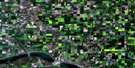
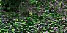
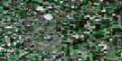
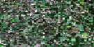
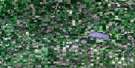
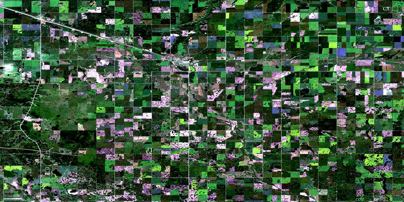
Wolseley Satellite Image Map
Download Free Aerial Photo 062L06 at 1:50,000 scale
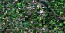
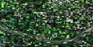
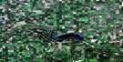
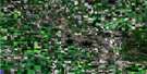
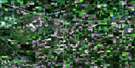
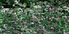
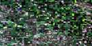
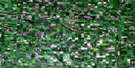
Wolseley Satellite Imagery
To view this satellite map, mouse over the air photo on the right.
You can also download this satellite image map for free:
062L06 Wolseley high-resolution satellite image map.
Maps for the Wolseley aerial map sheet 062L06 at 1:50,000 scale are also available in these versions:
Wolseley Surrounding Area Aerial Photo Maps
 |
 |
 |
 |
 |
 |
 |
 |
 |
 |
 |
 |
 |
 |
 |
 |
© Department of Natural Resources Canada. All rights reserved.
Wolseley Gazetteer
The following places can be found on satellite image map 062L06 Wolseley:
Wolseley Satellite Image: Hamlets
SummerberryWolseley Satellite Image: Indian Reserves
Assiniboine 76Carry The Kettle 76-22
Carry The Kettle Nakoda First Nation 76-10
Carry The Kettle Nakoda First Nation 76-11
Carry The Kettle Nakoda First Nation 76-12
Carry The Kettle Nakoda First Nation 76-14
Carry The Kettle Nakoda First Nation 76-3
Carry The Kettle Nakoda First Nation 76-34
Carry The Kettle Nakoda First Nation 76-4
Carry The Kettle Nakoda First Nation 76-6
Carry The Kettle Nakoda First Nation 76-8
Carry The Kettle Nakota First Nation 76-1
Carry The Kettle Nakota First Nation 76-2
Wolseley Satellite Image: Lakes
Five Mile LakeMitchell Lake
Wolseley Satellite Image: Other municipal/district area - miscellaneous
Chester No. 125Indian Head No. 156
Montmartre No. 126
Wolseley No. 155
Wolseley Satellite Image: Rivers
Adair CreekMitchell Creek
Roselane Creek
Summerberry Creek
Wolfe Creek
Wolseley Satellite Image: Towns
SintalutaWolseley
Wolseley Satellite Image: Unincorporated areas
AdairBaring
Deveron
Falcon
Grainer
Moffat
© Department of Natural Resources Canada. All rights reserved.
