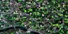
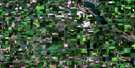
Langbank Satellite Image Map
Download Free Aerial Photo 062L01 at 1:50,000 scale
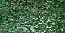
Langbank Satellite Imagery
To view this satellite map, mouse over the air photo on the right.
You can also download this satellite image map for free:
062L01 Langbank high-resolution satellite image map.
Maps for the Langbank aerial map sheet 062L01 at 1:50,000 scale are also available in these versions:
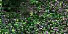
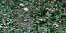
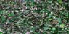
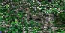
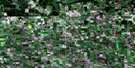
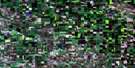
Langbank Surrounding Area Aerial Photo Maps
 |
 |
 |
 |
 |
 |
 |
 |
 |
 |
 |
 |
 |
 |
 |
 |
© Department of Natural Resources Canada. All rights reserved.
Langbank Gazetteer
The following places can be found on satellite image map 062L01 Langbank:
Langbank Satellite Image: Hamlets
LangbankLangbank Satellite Image: Indian Reserves
Ochapowace 71-100Ochapowace 71-102
Ochapowace 71-110
Ochapowace 71-130
Ochapowace 71-16
Ochapowace 71-2
Ochapowace 71-27
Ochapowace 71-3
Ochapowace 71-34
Ochapowace 71-41
Ochapowace 71-70
Ochapowace 71-87
Langbank Satellite Image: Lakes
Pipestone LakeLangbank Satellite Image: Other municipal/district area - miscellaneous
Hazelwood No. 94Kingsley No. 124
Martin No. 122
Silverwood No. 123
Walpole No. 92
Wawken No. 93
Langbank Satellite Image: Rivers
Little Pipestone CreekMontgomery Creek
Pipestone Creek
Langbank Satellite Image: Unincorporated areas
InchkeithPoplar Grove
St. Hubert Mission
Vandura
Langbank Satellite Image: Villages
Kennedy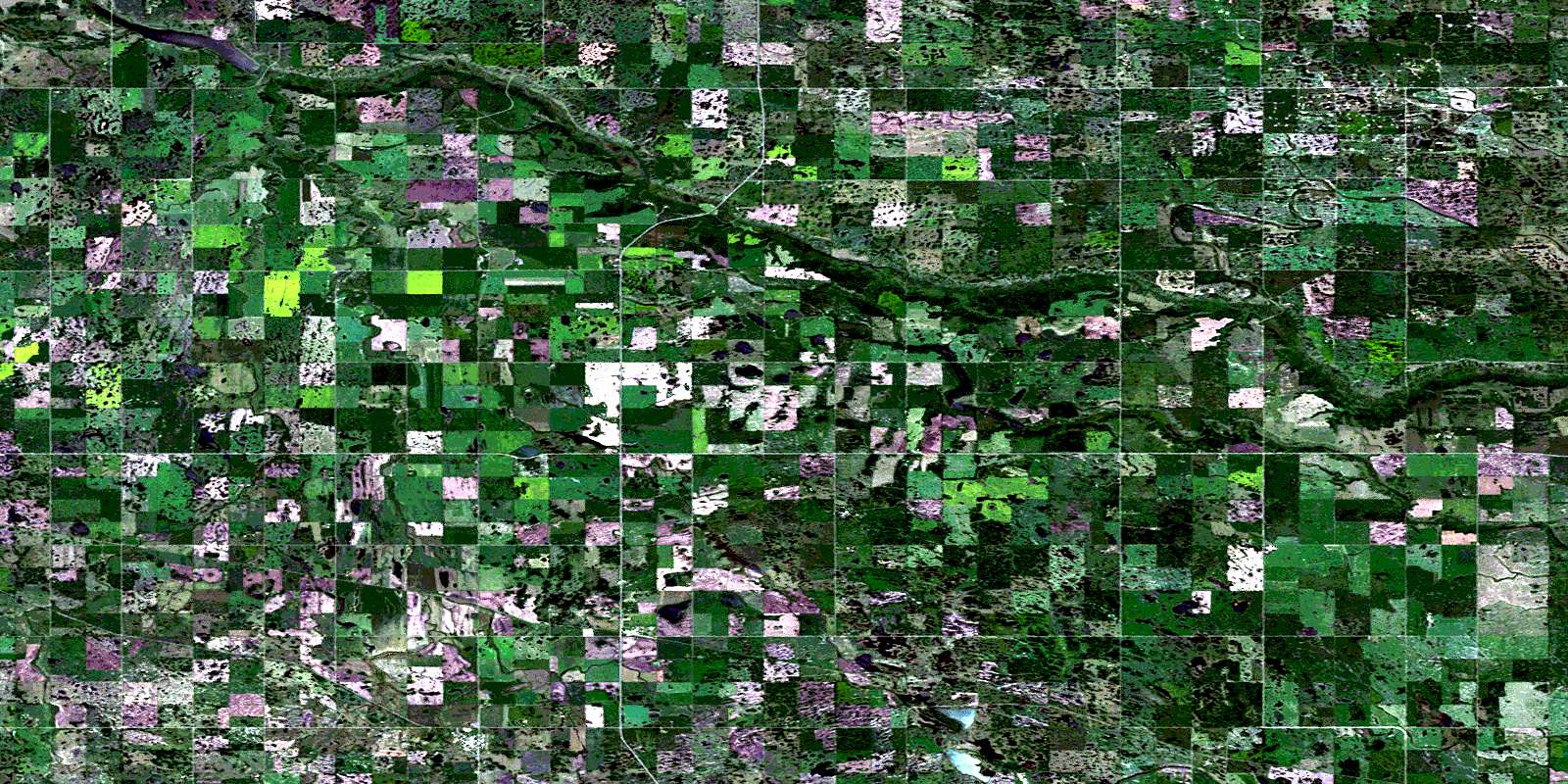
© Department of Natural Resources Canada. All rights reserved.
