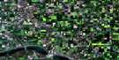
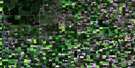
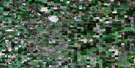
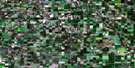
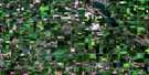
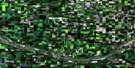
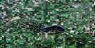
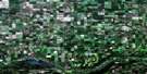
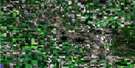
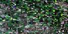
Grenfell Satellite Image Map
Download Free Aerial Photo 062L07 at 1:50,000 scale
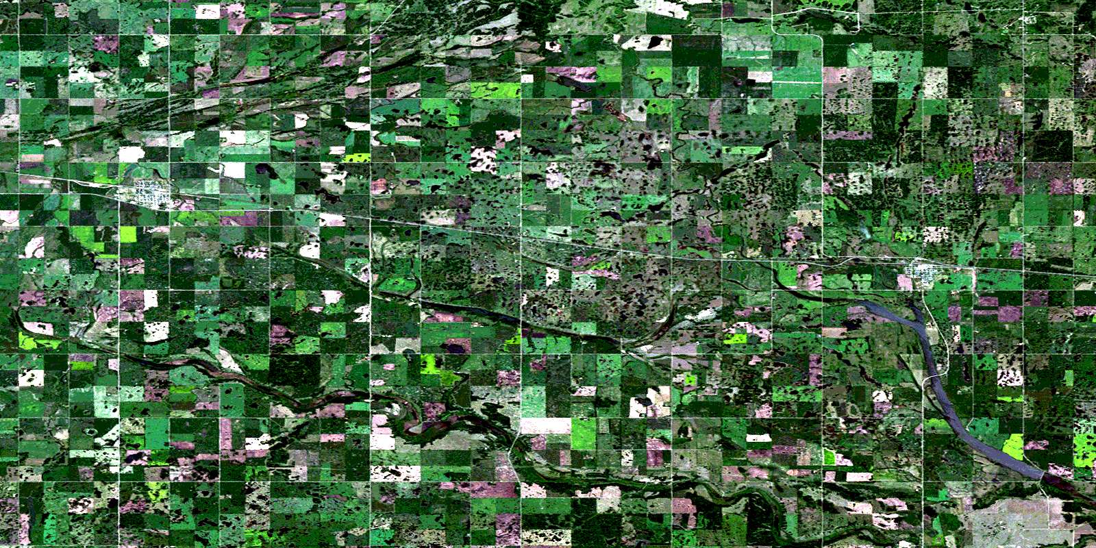
Grenfell Satellite Imagery
To view this satellite map, mouse over the air photo on the right.
You can also download this satellite image map for free:
062L07 Grenfell high-resolution satellite image map.
Maps for the Grenfell aerial map sheet 062L07 at 1:50,000 scale are also available in these versions:
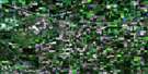
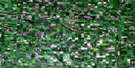
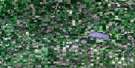
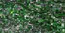
Grenfell Surrounding Area Aerial Photo Maps
 |
 |
 |
 |
 |
 |
 |
 |
 |
 |
 |
 |
 |
 |
 |
 |
© Department of Natural Resources Canada. All rights reserved.
Grenfell Gazetteer
The following places can be found on satellite image map 062L07 Grenfell:
Grenfell Satellite Image: Indian Reserves
Kahkewistahaw 72Kahkewistahaw 72B
Kahkewistahaw 72C
Kahkewistahaw 72D
Ochapowace 71-66
Ochapowace 71-71
Grenfell Satellite Image: Lakes
Brown Hill ReservoirEkapo Lake
Marston Lake
Painter Lake
Grenfell Satellite Image: Mountains
Weed HillsGrenfell Satellite Image: Other municipal/district area - miscellaneous
Chester No. 125Elcapo No. 154
Kingsley No. 124
Wolseley No. 155
Grenfell Satellite Image: Conservation areas
Broadview Recreation SiteGrenfell Regional Park
Grenfell Satellite Image: Rivers
Ekapo CreekPipestone Creek
Grenfell Satellite Image: Towns
BroadviewGrenfell
Grenfell Satellite Image: Unincorporated areas
HillesdenOakshela
© Department of Natural Resources Canada. All rights reserved.
