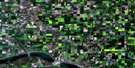
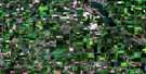
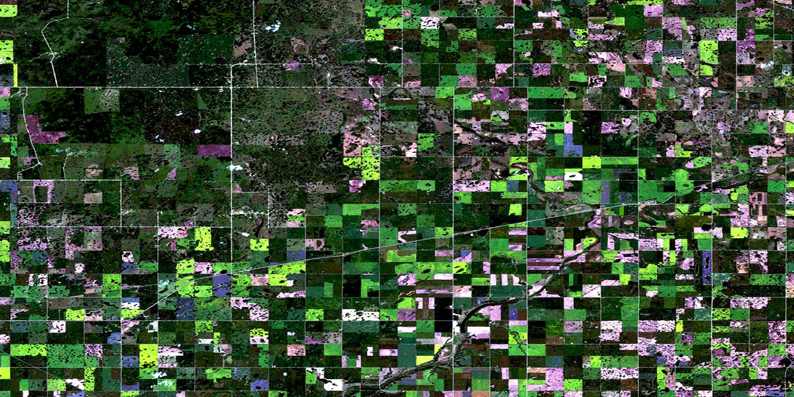
Lorlie Satellite Image Map
Download Free Aerial Photo 062L14 at 1:50,000 scale
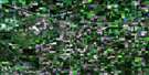
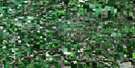
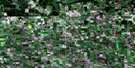
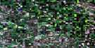
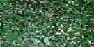
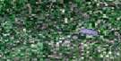
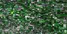
Lorlie Satellite Imagery
To view this satellite map, mouse over the air photo on the right.
You can also download this satellite image map for free:
062L14 Lorlie high-resolution satellite image map.
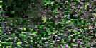
Maps for the Lorlie aerial map sheet 062L14 at 1:50,000 scale are also available in these versions:
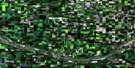
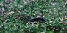
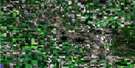
Lorlie Surrounding Area Aerial Photo Maps
 |
 |
 |
 |
 |
 |
 |
 |
 |
 |
 |
 |
 |
 |
 |
 |
© Department of Natural Resources Canada. All rights reserved.
Lorlie Gazetteer
The following places can be found on satellite image map 062L14 Lorlie:
Lorlie Satellite Image: Indian Reserves
Little Black Bear 84Okanese 82P
Okanese 82
Okanese 82 (DD)
Okanese 82(BB)
Okanese 82(CC)
Okanese 82(EE)
Okanese 82(Q)
Okanese 82(R)
Okanese 82(T)
Okanese 82(U)
Okanese 82(V)
Okanese 82(W)
Okanese 82(Y)
Okanese 82(Z)
Okanese 82A
Okanese 82B
Okanese 82D
Okanese 82E
Okanese 82F
Okanese 82G
Okanese 82I
Okanese 82K
Okanese 82M
Okanese 82O
Peepeekisis 81
Star Blanket 83
Star Blanket 83-D
Star Blanket 83E
Star Blanket 83F
Star Blanket 83G
Star Blanket 83H
Star Blanket 83I
Star Blanket 83K
Lorlie Satellite Image: Mountains
File HillsPheasant Hills
Lorlie Satellite Image: Other municipal/district area - miscellaneous
Abernethy No. 186McLeod No. 185
Stanley No. 215
Tullymet No. 216
Lorlie Satellite Image: Conservation areas
Duff Recreation SiteLorlie Satellite Image: Plains
Touchwood UplandsLorlie Satellite Image: Rivers
Kaposvar CreekPearl Creek
Pheasant Creek
Pheasant Forks Creek
Lorlie Satellite Image: Unincorporated areas
FinnieGillespie
Lorlie
Pheasant Forks
Lorlie Satellite Image: Villages
AbernethyDuff
© Department of Natural Resources Canada. All rights reserved.
