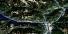
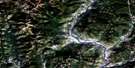
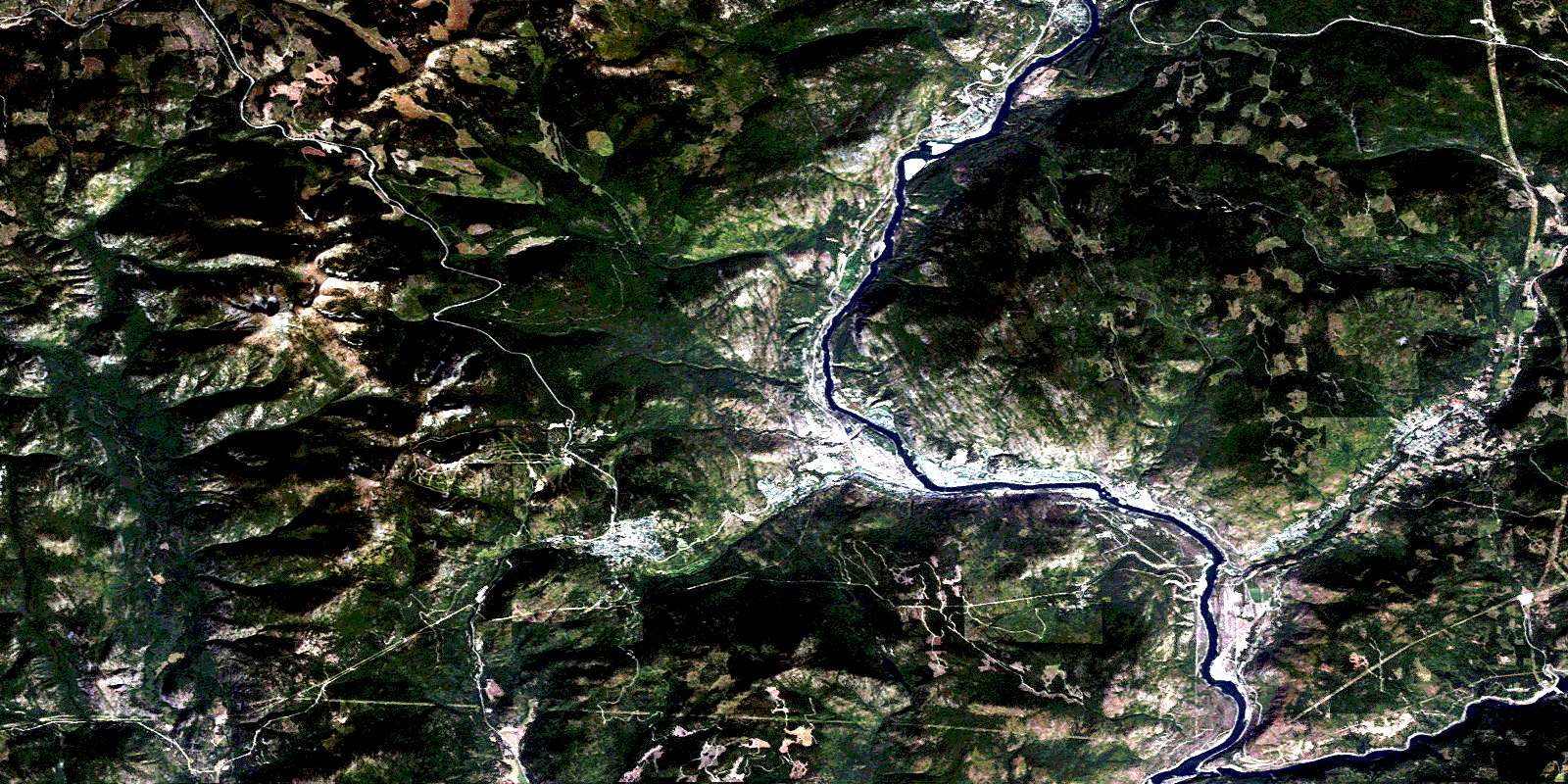
Rossland-Trail Satellite Image Map
Download Free Aerial Photo 082F04 at 1:50,000 scale
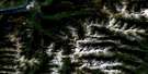
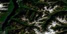
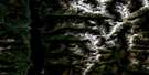
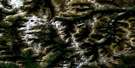
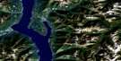
Rossland-Trail Satellite Imagery
To view this satellite map, mouse over the air photo on the right.
You can also download this satellite image map for free:
082F04 Rossland-Trail high-resolution satellite image map.
Maps for the Rossland-Trail aerial map sheet 082F04 at 1:50,000 scale are also available in these versions:
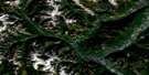
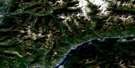
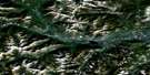
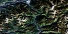
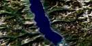
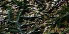
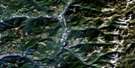
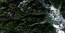
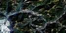
Rossland-Trail Surrounding Area Aerial Photo Maps
 |
 |
 |
 |
 |
 |
 |
 |
 |
 |
 |
 |
 |
 |
 |
 |
© Department of Natural Resources Canada. All rights reserved.
Rossland-Trail Gazetteer
The following places can be found on satellite image map 082F04 Rossland-Trail:
Rossland-Trail Satellite Image: City
RosslandTrail
Rossland-Trail Satellite Image: Falls
Beaver FallsRossland-Trail Satellite Image: Geographical areas
Kootenay Land DistrictSimilkameen Division Yale Land District
Rossland-Trail Satellite Image: Islands
Rock IslandRossland-Trail Satellite Image: Lakes
Champion LakesKearns Lake
Violin Lake
Rossland-Trail Satellite Image: Mountains
Baldy MountainBlizzard Mountain
Bonnington Range
Cherry Ridge
Columbia Kootenay Mountain
Columbia Mountains
Deerpark Hill
Goat Mountain
Granite Mountain
Grey Mountain
Grouse Ridge
Ivanhoe Ridge
Lake Mountain
Lookout Mountain
Monashee Mountains
Monte Cristo Mountain
Mount Crowe
Mount Heinze
Mount Jeldness
Mount Kirkup
Mount Lepsoe
Mount Mackie
Mount Malde
Mount Neptune
Mount Plewman
Mount Roberts
Mount Sophia
Nigger Mountain
O.K. Mountain
Old Glory Mountain
Record Mountain
Record Ridge
Red Mountain
Rossland Mountains
Rossland Range
Selkirk Mountains
Spokane Mountain
Talus Hill
Tamarac Mountain
Rossland-Trail Satellite Image: Major municipal/district area - major agglomerations
Regional District of Kootenay-BoundaryRossland-Trail Satellite Image: Conservation areas
Beaver Creek ParkChampion Lakes Park
King George VI Park
Nancy Greene Park
Nancy Greene Recreation Area
Rossland-Trail Satellite Image: Plains
Fort Shepherd FlatsStrawberry Flats
Rossland-Trail Satellite Image: Provinces
British ColumbiaColombie-Britannique
Rossland-Trail Satellite Image: Recreational sites
Red MountainRossland-Trail Satellite Image: Rivers
Acme CreekBarclay Creek
Bath Creek
Bath Creek
Bear Creek
Bearskin Creek
Beaver Creek
Beavervale Creek
Big Sheep Creek
Billy Creek
Blueberry Creek
Cambridge Creek
Casino Creek
Cedar Creek
Cemetery Creek
Champion Creek
China Creek
Church Creek
Columbia River
Corral Creek
Cranston Creek
East Casino Creek
Edgren Creek
Elgood Creek
Esling Creek
Fleuve Columbia
Four Mile Creek
Fourmile Creek
Freddy Creek
Fruitvale Creek
Goodeve Creek
Gopher Creek
Gorge Creek
Hanna Creek
Hudu Creek
Johnson Creek
Jordan Creek
Kearns Creek
Kelly Creek
Lamb Creek
Landis Creek
Lawley Creek
Lime Creek
Linnie Creek
Little Rock Creek
Little Sheep Creek
Littlerock Creek
Malde Creek
Marsh Creek
McAlister Creek
McKelvey Creek
McNally Creek
McQuarrie Creek
Milkranch Creek
Moris Creek
Murphy Creek
Myres Creek
Neptune Creek
Nigger Bar Creek
Nine Mile Creek
Ninemile Creek
Pend d'Oreille River
Pend-d'Oreille River
Randall Creek
Record Creek
Reith Creek
Ryan Creek
Santa Rosa Creek
Sayward Creek
Seven Mile Creek
Sevenmile Creek
Sheppard Creek
Sophia Creek
Stussi Creek
Sullivan Creek
Swedberg Creek
Swehaw Creek
Tiger Creek
Topping Creek
Tracy Creek
Trail Creek
Triumph Creek
West Little Sheep Creek
Wyngill Creek
Rossland-Trail Satellite Image: Shoals
St. Marys RockRossland-Trail Satellite Image: Unincorporated areas
AnnableBeaver Falls
Birchbank
Blueberry Creek
Casino
Champion Creek
China Creek
China Creek
Columbia Gardens
Crown Point
East Trail
Genelle
Genelle
Glenmerry
Lower China Creek
Oasis
Park Siding
Paterson
Poupore
Rivervale
Silica
Sunningdale
Tadanac
Tiger
Union Avenue
Upper China Creek
Waneta
Waneta Junction
West Trail
Rossland-Trail Satellite Image: Valleys
Blueberry PassStrawberry Pass
Rossland-Trail Satellite Image: Villages
FruitvaleMontrose
Warfield
© Department of Natural Resources Canada. All rights reserved.
