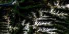
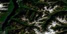
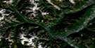
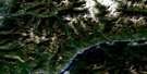
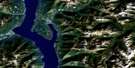
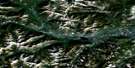
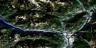
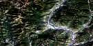
Dewar Creek Satellite Image Map
Download Free Aerial Photo 082F16 at 1:50,000 scale
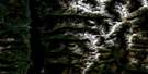
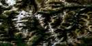
Dewar Creek Satellite Imagery
To view this satellite map, mouse over the air photo on the right.
You can also download this satellite image map for free:
082F16 Dewar Creek high-resolution satellite image map.
Maps for the Dewar Creek aerial map sheet 082F16 at 1:50,000 scale are also available in these versions:
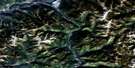
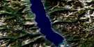
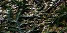
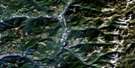
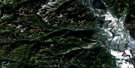
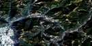
Dewar Creek Surrounding Area Aerial Photo Maps
 |
 |
 |
 |
 |
 |
 |
 |
 |
 |
 |
 |
 |
 |
 |
 |
© Department of Natural Resources Canada. All rights reserved.
Dewar Creek Gazetteer
The following places can be found on satellite image map 082F16 Dewar Creek:
Dewar Creek Satellite Image: Lakes
Berglien LakeBergstrom Lake
Bird Lakes
Bleak Lake
Canning Lake
Hodgson Lakes
Huggard Lake
Hunters Lake
Jurak Lake
Keer Lake
Lyallii Lake
Lytle Lake
Mortar Lake
Nowitka Lake
Pestle Lake
Phyllodoce Lakes
Price Lake
Spade Lake
Stair Lakes
Totem Lake
Trinity Lake
Dewar Creek Satellite Image: Mountains
Alton RidgeColumbia Mountains
Irish Queen Mountain
Klahowya Mountain
Mount Alton
Mount Bradford
Mount Buhl
Mount Levesque
Mount Lindsay
Mount Manson
Mount Patrick
Mount St. Mary
Nowitka Mountain
Purcell Mountains
Radiant Peak
Rusty Ridge
Sawtooth Peak
Skookumchuck Mountain
West Peak
Dewar Creek Satellite Image: Major municipal/district area - major agglomerations
Regional District of East KootenayDewar Creek Satellite Image: Conservation areas
Purcell Wilderness ConservancySt. Mary's Alpine Park
Dewar Creek Satellite Image: Rivers
Alton CreekBradford Creek
Buhl Creek
Calamity Creek
Cherry Creek
Coppery Creek
Dewar Creek
Findlay Creek
Fry Creek
Greenland Creek
Haatsa Creek
Huggard Creek
Jurak Creek
Mark Creek
Middle Findlay Creek
Morris Creek
Price Creek
Skookumchuck Creek
Spade Creek
St. Mary River
White Creek
Dewar Creek Satellite Image: Valleys
Mark Creek PassDewar Creek Satellite Image: Low vegetation
Larch Meadows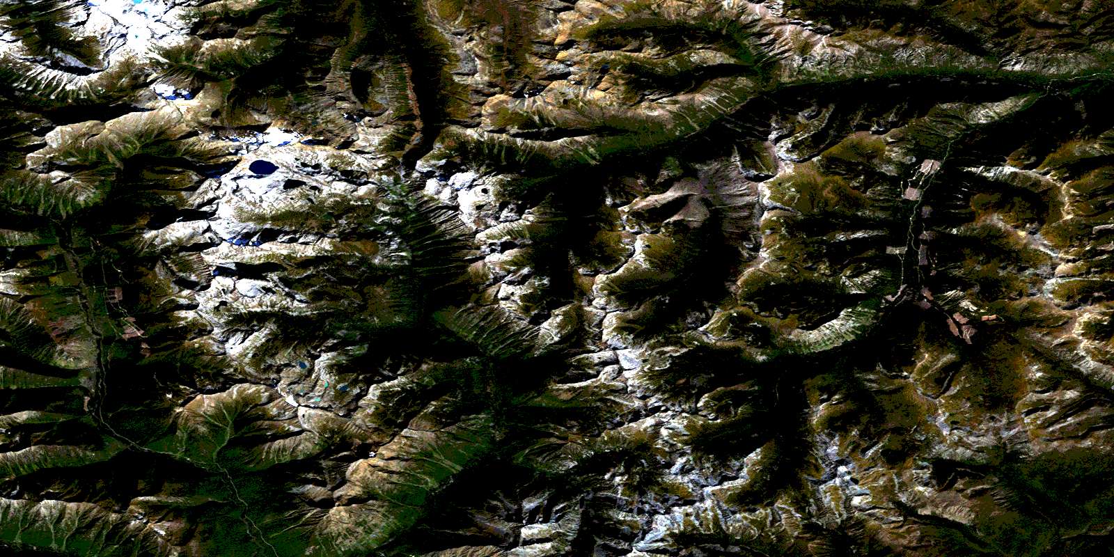
© Department of Natural Resources Canada. All rights reserved.
