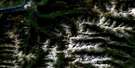
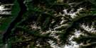
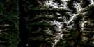
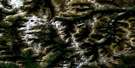
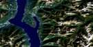
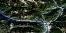
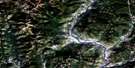
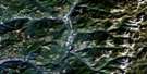
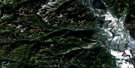
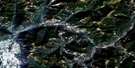
St Mary Lake Satellite Image Map
Download Free Aerial Photo 082F09 at 1:50,000 scale
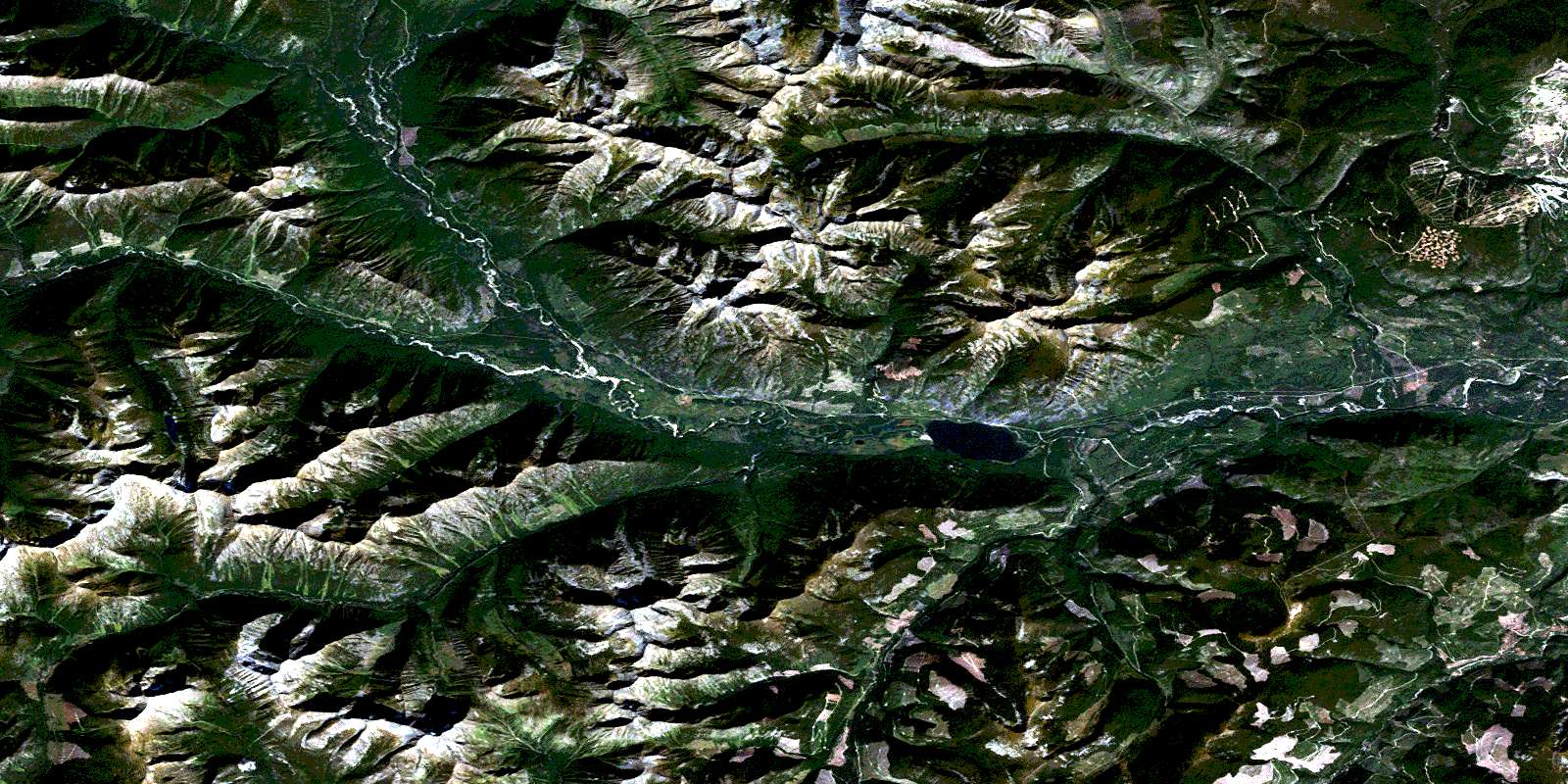
St Mary Lake Satellite Imagery
To view this satellite map, mouse over the air photo on the right.
You can also download this satellite image map for free:
082F09 St Mary Lake high-resolution satellite image map.
Maps for the St Mary Lake aerial map sheet 082F09 at 1:50,000 scale are also available in these versions:
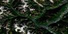
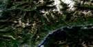
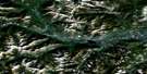
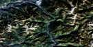
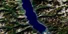
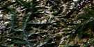
St Mary Lake Surrounding Area Aerial Photo Maps
 |
 |
 |
 |
 |
 |
 |
 |
 |
 |
 |
 |
 |
 |
 |
 |
© Department of Natural Resources Canada. All rights reserved.
St Mary Lake Gazetteer
The following places can be found on satellite image map 082F09 St Mary Lake:
St Mary Lake Satellite Image: City
KimberleySt Mary Lake Satellite Image: Lakes
Ailsa LakeDipper Lake
Hall Lake
Mayo Lake
St. Mary Lake
White Boar Lake
St Mary Lake Satellite Image: Mountains
Bootleg MountainColumbia Mountains
Evans Mountain
Higgins Peak
Mount Bonner
Mount Evans
Mount McKay
Mount Murphy
Moyie Range
North Star Hill
Purcell Mountains
Pyramid Mountain
Sullivan Hill
White Grouse Mountain
St Mary Lake Satellite Image: Major municipal/district area - major agglomerations
Regional District of East KootenaySt Mary Lake Satellite Image: Rivers
Alki CreekAngus Creek
Argyle Creek
Bannock Creek
Bothe Creek
Denver Creek
Dewar Creek
Dublin Creek
Fiddler Creek
Flatrock Creek
France Creek
Glasgow Creek
Goat River
Hall Lake Creek
Hellroaring Creek
Hungry Creek
Lisbon Creek
London Creek
Mallandaine Creek
Mark Creek
Matthew Creek
Meachen Creek
Morris Creek
Murphy Creek
Paisley Creek
Paris Creek
Parkers Creek
Perry Creek
Pitt Creek
Pudding Burn
Pyramid Creek
Redding Creek
Resort Creek
Rome Creek
Sawdust Creek
Sawmill Creek
St. Mary River
Tower Creek
White Creek
St Mary Lake Satellite Image: Unincorporated areas
MeachamsMeachen
North Star
St Mary Lake Satellite Image: Valleys
Mallandaine PassMurphy Pass
© Department of Natural Resources Canada. All rights reserved.
