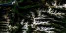
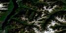
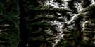
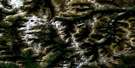
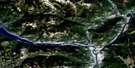
Creston Satellite Image Map
Download Free Aerial Photo 082F02 at 1:50,000 scale
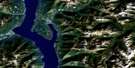
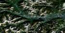
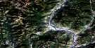
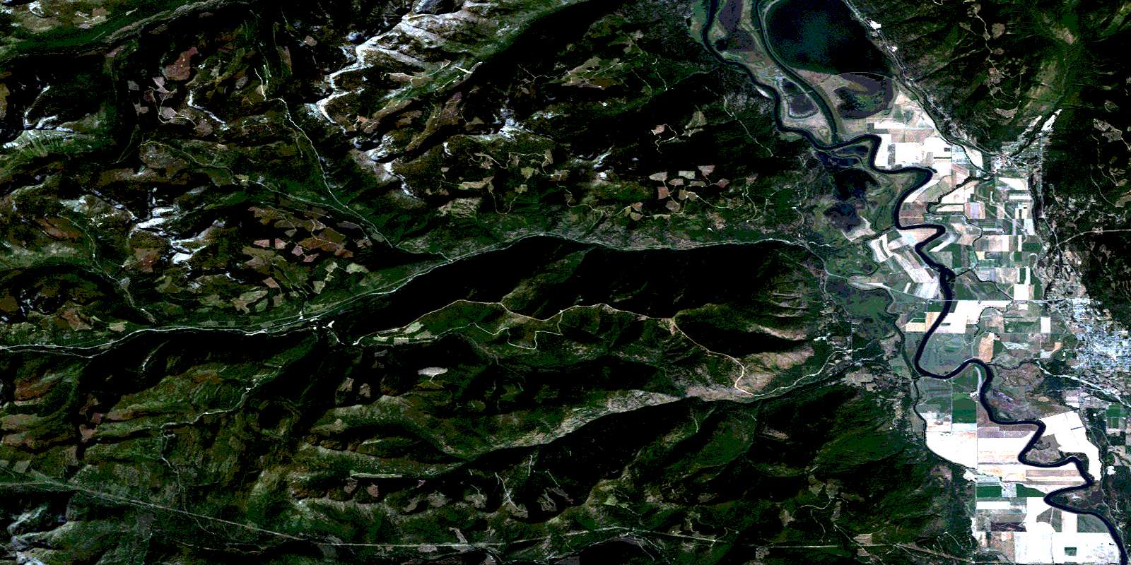
Creston Satellite Imagery
To view this satellite map, mouse over the air photo on the right.
You can also download this satellite image map for free:
082F02 Creston high-resolution satellite image map.
Maps for the Creston aerial map sheet 082F02 at 1:50,000 scale are also available in these versions:
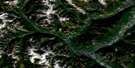
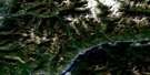
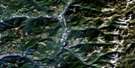
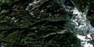
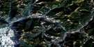
Creston Surrounding Area Aerial Photo Maps
 |
 |
 |
 |
 |
 |
 |
 |
 |
 |
 |
 |
 |
 |
 |
 |
© Department of Natural Resources Canada. All rights reserved.
Creston Gazetteer
The following places can be found on satellite image map 082F02 Creston:
Creston Satellite Image: Indian Reserves
Creston Indian Reserve 1Lower Kootenay Indian Reserve 1A
Lower Kootenay Indian Reserve 1B
Lower Kootenay Indian Reserve 1C
Lower Kootenay Indian Reserve 2
Lower Kootenay Indian Reserve 3
Lower Kootenay Indian Reserve 4
Lower Kootenay Indian Reserve 5
Réserve indienne Creston 1
Réserve indienne Lower Kootenay 1A
Réserve indienne Lower Kootenay 1B
Réserve indienne Lower Kootenay 1C
Réserve indienne Lower Kootenay 2
Réserve indienne Lower Kootenay 3
Réserve indienne Lower Kootenay 4
Réserve indienne Lower Kootenay 5
Creston Satellite Image: Islands
Nick IslandNicks Island
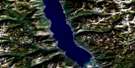
Creston Satellite Image: Lakes
Arkansas LakeBoundary Lake
Duck Lake
French Slough
Kootenay Lake
Leach Lake
Nicks Slough
Six Mile Slough
Sixmile Slough
Creston Satellite Image: Mountains
Columbia MountainsCreston Mountain
Hulme Peak
John Bull Mountain
Kootenay Mountain
Kootenay Mountains
Mount Huscroft
Mount Irene
Mount Midgeley
Mount Rykert
Moyie Range
Nelson Range
North Star Mountain
Purcell Mountains
Selkirk Mountains
Wall Mountain
Wood Peak
Creston Satellite Image: Rivers
Acorn CreekBayonne Creek
Benney Creek
Betts Creek
Blazed Creek
Blue Joe Creek
Bluebird Creek
Boulais Creek
Boundary Creek
Buckworth Creek
Carolina Creek
Char Creek
Corn Creek
David Creek
Deadhorse Creek
Dodd Creek
Dodds Creek
Dodge Creek
Drywash Creek
Duck Creek
East Branch Kootenay River
Elmo Creek
Ezekiel Creek
Glaser Creek
Glasier Creek
Goat River
Grady Creek
Huggard Creek
Jank Creek
Jefferd Creek
Jersey Creek
Joseph Creek
Kootenay River
Leppard Creek
Lewis Creek
Liddell Creek
Littlejohn Creek
Maryland Creek
McClelland Creek
McComb Creek
McLellan Creek
McLelland Creek
Meadow Creek
Midgeley Creek
Monk Creek
Moores Creek
More Creek
Musser Creek
Newington Creek
Next Creek
North Star Creek
Nun Creek
Okell Creek
Old Goat River Channel
Old Kootenay River Channel
Placer Creek
Porthill Creek
Shaw Creek
Simmonds Creek
Simmons Creek
Sirdar Creek
Summit Creek
Teetzel Creek
Tito Creek
Toby Creek
Topaz Creek
Upper Priest River
Urmston Creek
Whiskey Creek
Wilds Creek
Wittlea Creek
Wynndel Creek
Creston Satellite Image: Towns
CrestonCreston Satellite Image: Unincorporated areas
Alice SidingDuck Creek (Wynndel P.O.-B. de p.)
Loasby
Sirdar
Wynndel
Creston Satellite Image: Low vegetation
Corn Creek MarshDale Marsh
© Department of Natural Resources Canada. All rights reserved.
