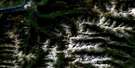
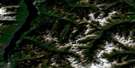
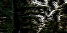
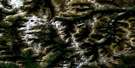
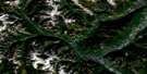
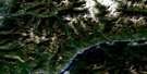
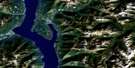
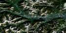
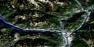
Grassy Mountain Satellite Image Map
Download Free Aerial Photo 082F08 at 1:50,000 scale
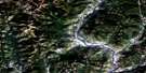
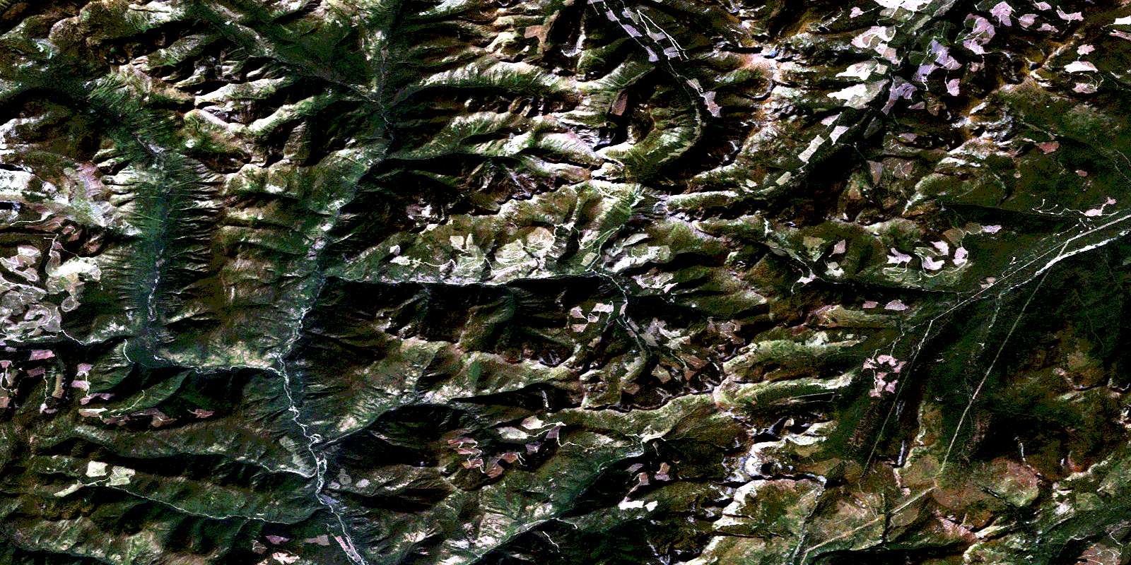
Grassy Mountain Satellite Imagery
To view this satellite map, mouse over the air photo on the right.
You can also download this satellite image map for free:
082F08 Grassy Mountain high-resolution satellite image map.
Maps for the Grassy Mountain aerial map sheet 082F08 at 1:50,000 scale are also available in these versions:
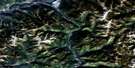
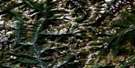
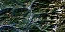
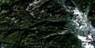
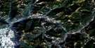
Grassy Mountain Surrounding Area Aerial Photo Maps
 |
 |
 |
 |
 |
 |
 |
 |
 |
 |
 |
 |
 |
 |
 |
 |
© Department of Natural Resources Canada. All rights reserved.
Grassy Mountain Gazetteer
The following places can be found on satellite image map 082F08 Grassy Mountain:
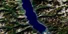
Grassy Mountain Satellite Image: Lakes
Cooper LakeRichmond Lake
Yeko Lake
Grassy Mountain Satellite Image: Mountains
Columbia MountainsGillis Peak
Grassy Mountain
Mount Armitage
Mount Bigattini
Mount Bohan
Mount Cowley
Mount Flett
Mount O'Neill
Mount Pudifin
Mount Sommerfeld
Moyie Range
Old Baldy Mountain
Purcell Mountains
Putnam Peak
Grassy Mountain Satellite Image: Major municipal/district area - major agglomerations
Regional District of East KootenayGrassy Mountain Satellite Image: Conservation areas
Kianuko ParkGrassy Mountain Satellite Image: Rivers
Angus CreekArrow Creek
Bohan Creek
Bonton Creek
Boulder Creek
Cameron Creek
Cooper Creek
Galway Creek
Goat River
Hall Creek
Hellroaring Creek
Irishman Creek
Kamma Creek
Kianuko Creek
Kid Creek
Kutlits Creek
Kuttat Creek
Lake Creek
Lamb Creek
Lamb Creek
Leadville Creek
Lewis Creek
Limerick Creek
Liverpool Creek
London Creek
Lovola Creek
Mallandaine Creek
Manchester Creek
McNeil Creek
Meachen Creek
Moyie River
Moyie-North Creek
Negro Creek
Noke Creek
North MoyieCreek
Perry Creek
Ridgeway Creek
Ryder Creek
Shorty Creek
Skelly Creek
South Moyie Creek
Walsh Creek
Waverley Creek
Weaver Creek
Wuho Creek
Wuhun Creek
© Department of Natural Resources Canada. All rights reserved.
