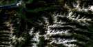
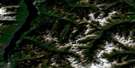
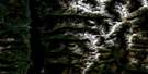
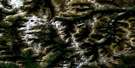
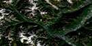
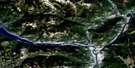
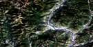
Burton Satellite Image Map
Download Free Aerial Photo 082F13 at 1:50,000 scale
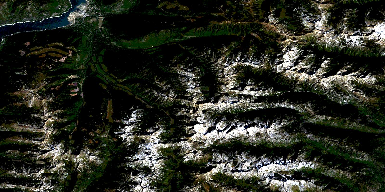
Burton Satellite Imagery
To view this satellite map, mouse over the air photo on the right.
You can also download this satellite image map for free:
082F13 Burton high-resolution satellite image map.
Maps for the Burton aerial map sheet 082F13 at 1:50,000 scale are also available in these versions:
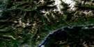
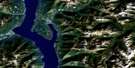
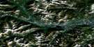
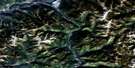
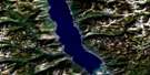
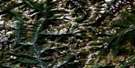
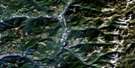
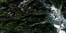
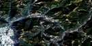
Burton Surrounding Area Aerial Photo Maps
 |
 |
 |
 |
 |
 |
 |
 |
 |
 |
 |
 |
 |
 |
 |
 |
© Department of Natural Resources Canada. All rights reserved.
Burton Gazetteer
The following places can be found on satellite image map 082F13 Burton:
Burton Satellite Image: Capes
Caribou PointBurton Satellite Image: Channels
The NarrowsBurton Satellite Image: Glaciers
New Denver GlacierBurton Satellite Image: Islands
Goose IslandBurton Satellite Image: Lakes
Avis LakesBeatrice Lake
Bunny Lake
Cahill Lake
Cooper Lake
Coven Lakes
Demers Lakes
Drinnan Lake
Drinnon Lake
Evans Lake
Fosheim Lake
Grassy Lake
Gwillim Lakes
Hird Lakes
Lower Arrow Lake
McKean Lakes
Mulvey Lakes
Purney Lake
Reanay Lakes
Rocky Lakes
Thor Lake
Tracy Cooper Lake
Valhalla Lake
Wee Sandy Lake
Burton Satellite Image: Mountains
Asgard PeakBanshee Peak
Chariot Peak
Columbia Mountains
Demers Peak
Devils Couch
Devils Dome
Devils Range
Devils Spire
Drinnan Peak
Drinnon Peak
English Peak
Gimli
Gimli Peak
Gladsheim Peak
Golden Hope Peak
Gray Wolf Mountain
Gregorio Peak
Grey Wolf Mountain
Hailstorm Peak
Hailstorm Ridge
Hela Peak
Hilda Peak
Lucifer Peak
Midgard Peak
Monashee Mountains
Mount Bor
Mount Dag
Mount Denver
Mount Diablo
Mount Dorval
Mount Harlow
Mount Lequereux
Mount Marshall
Mount McBride
Mount McKean
Mount Meers
Mount Mephistopheles
Mount Niord
Mount Prestley
Mount Prough
Mount Rollins
Mount Shardelow
Naumulten Mountain
Niord Mountain
Satan Peak
Selkirk Mountains
Slocan Ranges
Tillicum Mountain
Trident Peak
Urd Peak
Valhalla Mountains
Valhalla Range
Valhalla Ranges
Valkyr Mountains
Valkyr Range
Warner Ridge
Woden Peak
Wolfs Ears
Burton Satellite Image: Conservation areas
Arrow Lakes ParkValhalla Park
Burton Satellite Image: Rivers
Bannock BurnBeatrice Creek
Burton (Trout) Creek
Caribou Creek
Columbia River
Cony Creek
Dago Creek
Evans Creek
Fauquier Creek
Fleuve Columbia
Goatcanyon Creek
Gwillim Creek
Hail Creek
Hall Creek
Heart Creek
Hoder Creek
Ice Creek
Indian Creek
Joye Creek
Koch Creek
Londonderry Creek
Mulvey Creek
Nemo Creek
Snow Creek
Snowslide Creek
Stoney Creek
Taite Creek
Wee Sandy Creek
Woden Creek
Burton Satellite Image: Unincorporated areas
BelleviewBurton
© Department of Natural Resources Canada. All rights reserved.
