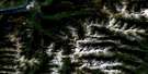
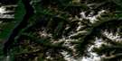
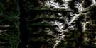
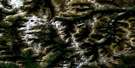
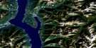
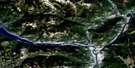
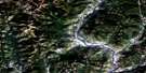
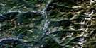
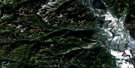
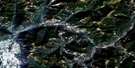
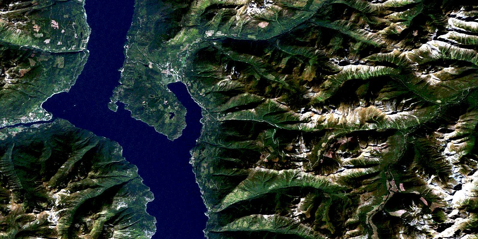
Crawford Bay Satellite Image Map
Download Free Aerial Photo 082F10 at 1:50,000 scale
Crawford Bay Satellite Imagery
To view this satellite map, mouse over the air photo on the right.
You can also download this satellite image map for free:
082F10 Crawford Bay high-resolution satellite image map.
Maps for the Crawford Bay aerial map sheet 082F10 at 1:50,000 scale are also available in these versions:
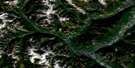
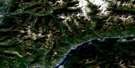
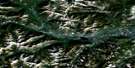
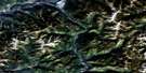
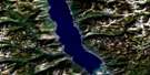
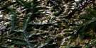
Crawford Bay Surrounding Area Aerial Photo Maps
 |
 |
 |
 |
 |
 |
 |
 |
 |
 |
 |
 |
 |
 |
 |
 |
© Department of Natural Resources Canada. All rights reserved.
Crawford Bay Gazetteer
The following places can be found on satellite image map 082F10 Crawford Bay:
Crawford Bay Satellite Image: Bays
Crawford BayKootenay Bay
Pilot Bay
Queens Bay
Sawmill Cove
Crawford Bay Satellite Image: Capes
Burgess PointCape Horn
McEwen Point
Mile Point
Pilot Peninsula
Pilot Point
Pilot Point
Sawmill Point
Sun Point
Crawford Bay Satellite Image: Caves
Ainsworth CaveCody Caves
Crawford Bay Satellite Image: Channels
Fraser NarrowsCrawford Bay Satellite Image: Lakes
Crystal LakeFraser Lake
Kootenay Lake
Krao Lake
Loon Lake
McGregor Lake
Crawford Bay Satellite Image: Marine navigation features
Walkers LandingCrawford Bay Satellite Image: Mountains
Balfour KnobBrowns Peak
Burdett Peak
Columbia Mountains
Hazel May
Hooker Mountain
Hungry Peak
Kokanee Range
Mount Aylmer
Mount Crawford
Mount Hartridge
Mount Hooker
Mount Irvine
Mount Rice
Nelson Range
Old Tom Mountain
Purcell Mountains
Selkirk Mountains
Seven Sisters
Snowcrest Mountain
Sphinx Mountain
Crawford Bay Satellite Image: Major municipal/district area - major agglomerations
Regional District of East KootenayCrawford Bay Satellite Image: Conservation areas
Cody Caves ParkKootenay Lake Park
Kootenay Lake Recreation Area
Lockhart Beach Park
Pilot Bay Park
Crawford Bay Satellite Image: Rivers
Aylmer CreekBaker Creek
Baribeau Creek
Beaver Creek
Birkbeck Creek
Bridalveil Creek
Burden Creek
Cabbage Creek
Canyon Creek
Cedar Creek
Coffee Creek
Cornbeef Creek
Crawford Creek
Croasdaile Creek
Flatrock Creek
Gray Creek
Grays Creek
Haatsa Creek
Hadden Creek
Haddon Creek
Heather Creek
Hooker Creek
Houghton Creek
Hungry Creek
Irvine Creek
Johnson Creek
Kootenay River
Krao Creek
La France Creek
Laird Creek
Langford Creek
Leake Creek
Lindsay Creek
Lockhart Creek
Madden Creek
McFarlane Creek
Midge Creek
Mosquito Creek
Munn Creek
Narrows Creek
Orebin Creek
Preacher Creek
Procter Creek
Queens Creek
Ross Creek
Rucks Creek
Sawyer Creek
Sherraden Creek
Skunk Creek
Spring Creek
Squaw Creek
Washout Creek
Weasel Creek
Willow Creek
Wilmot Creek
Wilson Creek
Yasodhara Creek
Crawford Bay Satellite Image: Springs
Ainsworth Hot SpringsSherwin Hot Spring
Sherwin Hot Springs
Crawford Bay Satellite Image: Unincorporated areas
AinsworthAinsworth Hot Springs
Balfour
Blake
Crawford Bay
Deanshaven
Fraser
Gray Creek
Kootenay Bay
Nasookin
Pilot Bay
Procter
Queens Bay
Walkers
Crawford Bay Satellite Image: Valleys
Cogle PassHooker Pass
Sawyer Pass
© Department of Natural Resources Canada. All rights reserved.
