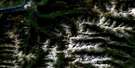
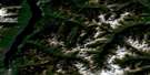
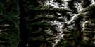
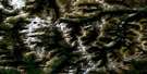
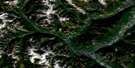
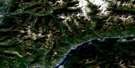
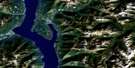
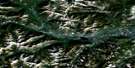
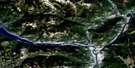
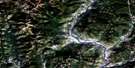
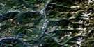
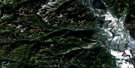
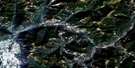
Passmore Satellite Image Map
Download Free Aerial Photo 082F12 at 1:50,000 scale
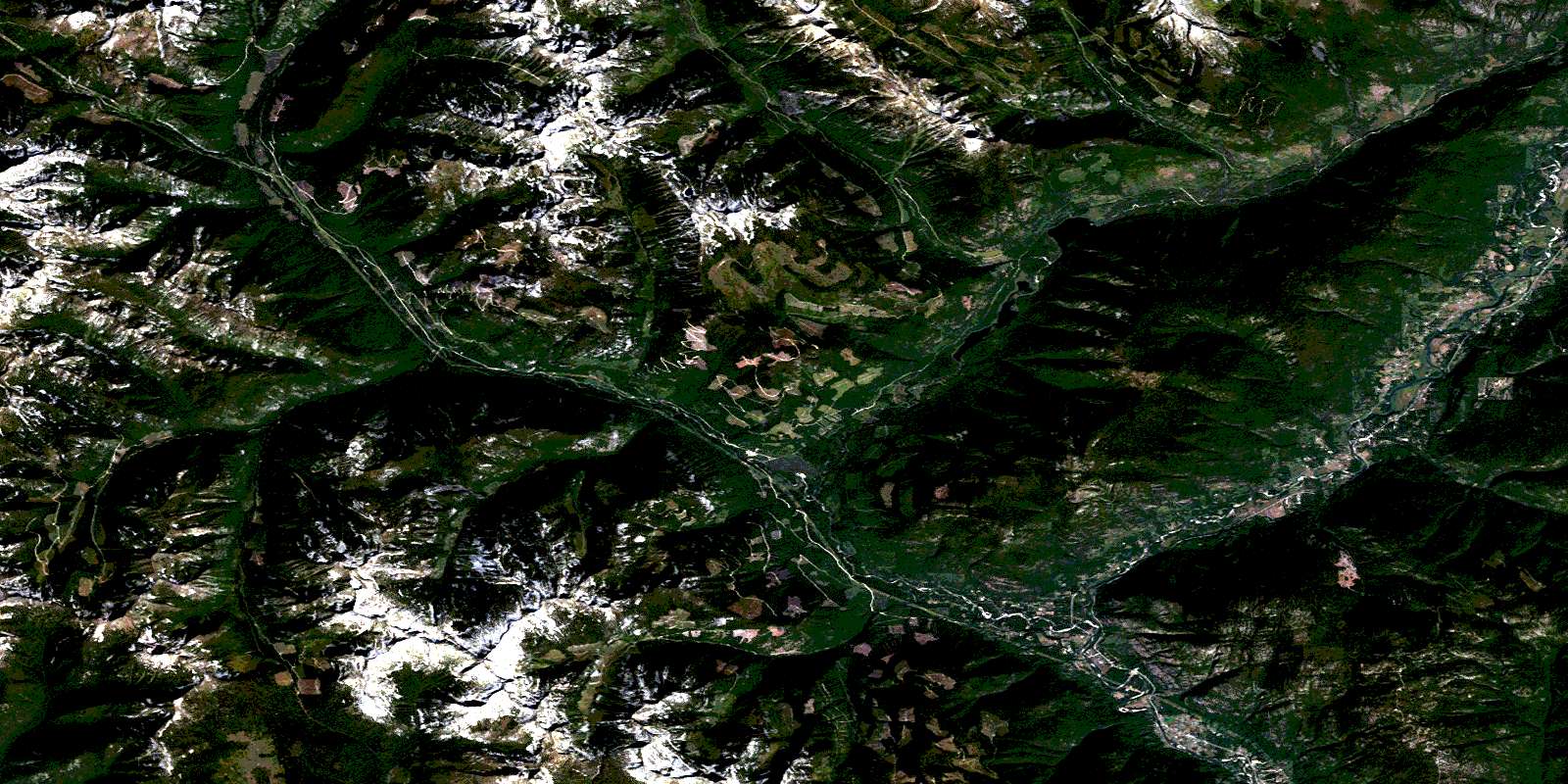
Passmore Satellite Imagery
To view this satellite map, mouse over the air photo on the right.
You can also download this satellite image map for free:
082F12 Passmore high-resolution satellite image map.
Maps for the Passmore aerial map sheet 082F12 at 1:50,000 scale are also available in these versions:
Passmore Surrounding Area Aerial Photo Maps
 |
 |
 |
 |
 |
 |
 |
 |
 |
 |
 |
 |
 |
 |
 |
 |
© Department of Natural Resources Canada. All rights reserved.
Passmore Gazetteer
The following places can be found on satellite image map 082F12 Passmore:
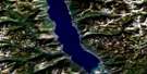
Passmore Satellite Image: Lakes
Donut LakeJohnianne Lake
Little Slocan Lakes
Lower Little Slocan Lake
Rockslide Lake
Upper Little Slocan Lake
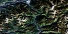
Passmore Satellite Image: Mountains
Airy MountainColumbia Mountains
Heimdal Mountain
Heimdal Spur
Mista Peak
Mount Flynn
Mount Freya
Mount Heimdal
Mount Ludlow
Mount Rinda
Mount Spiers
Mount Stanley
Mount Wilton
Norns Mountains
Norns Range
Perry Ridge
Selkirk Mountains
Slocan Ranges
Slocan Ridge
Stanley Spur
Valhalla Mountains
Valhalla Range
Valhalla Ranges
Valkyr Mountains
Valkyr Range
Passmore Satellite Image: Conservation areas
Appledale ParkValhalla Park
Passmore Satellite Image: Rivers
Airy CreekArvid Creek
Avis Creek
Bannock Burn
Benninger Creek
Cayuse Creek
Christian Creek
Cougar Creek
Cowie Creek
Dago Creek
Deer Creek
Draw Creek
Dumont Creek
Dunn Creek
Fairful Creek
Falls Creek
Greasybill Creek
Greavison Creek
Grizzly Creek
Groom Creek
Ground Creek
Hird Creek
Hoder Creek
Jamie Creek
Jerome Creek
Koch Creek
Koch River
Ladybird Creek
Little Slocan River
McFayden Creek
Milton Creek
Mulvey Creek
Nelly Creek
Newcomen Creek
Nixon Creek
Norns Creek
North Greasybill Creek
Octopus Creek
Pedro Creek
Percy Creek
Perry Creek
Rice Creek
Richards Creek
Robertson Creek
Russel Creek
Slocan River
Talbott Creek
Trozzo Creek
Van Houten Creek
Watson Creek
Winlaw Creek
Wolverton Creek
Passmore Satellite Image: Unincorporated areas
AppledaleLebahdo
Passmore
Perry Siding
Perrys
Slocan Park
Vallican
Winlaw
© Department of Natural Resources Canada. All rights reserved.
