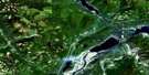
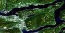
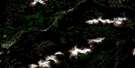
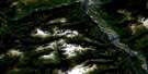
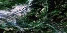
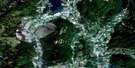
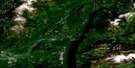
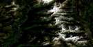
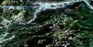
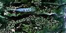
Shorts Creek Satellite Image Map
Download Free Aerial Photo 082L04 at 1:50,000 scale
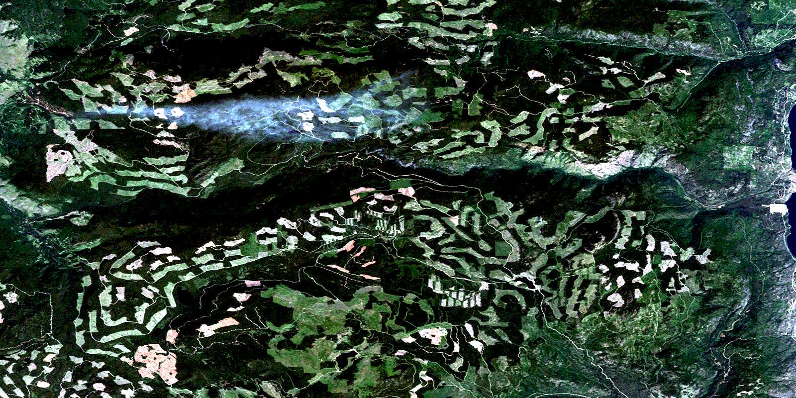
Shorts Creek Satellite Imagery
To view this satellite map, mouse over the air photo on the right.
You can also download this satellite image map for free:
082L04 Shorts Creek high-resolution satellite image map.
Maps for the Shorts Creek aerial map sheet 082L04 at 1:50,000 scale are also available in these versions:
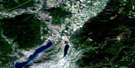
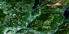
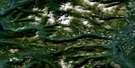
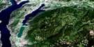
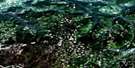
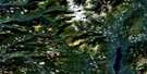
Shorts Creek Surrounding Area Aerial Photo Maps
 |
 |
 |
 |
 |
 |
 |
 |
 |
 |
 |
 |
 |
 |
 |
 |
© Department of Natural Resources Canada. All rights reserved.
Shorts Creek Gazetteer
The following places can be found on satellite image map 082L04 Shorts Creek:
Shorts Creek Satellite Image: Lakes
Barton LakeBig Horn Reservoir
Christie Lake
Duo Via Lake
Eileen Lake
Esperon Lake
Ferguson Lake
Frank Ward Lake
Hudson Bay Lake
Lavigure Lake
Loch Drinkie
Morrison Lake
Okanagan Lake
Old Dave Lake
Sandberg Lake
Seaton Lake
Stuart Lake
Sucker Lake
Tadpole Lake
Terrace Lake
Treadgold Lake
Shorts Creek Satellite Image: Mountains
Barton HillChapperon Mountain
Dome Rock Mountain
Mount Chapperon
Mount Eileen
Mount Sandberg
Roundtop Mountain
Sugarloaf Mountain
Terrace Mountain
White Rocks Mountain
Whiterocks Mountain
Shorts Creek Satellite Image: Major municipal/district area - major agglomerations
Regional District of Central OkanaganShorts Creek Satellite Image: Conservation areas
Fintry ParkShorts Creek Satellite Image: Plains
Thompson PlateauShorts Creek Satellite Image: Rivers
Alocin CreekAttenborough Creek
Bald Range Creek
Beak Creek
Bouleau Creek
Browns Creek
Chapperon Creek
Christie Creek
Cinnabar Creek
Dimetri Creek
DunWaters Creek
Emily Creek
Esperon Creek
Frank Ward Creek
Frankward Creek
Godwin Creek
Hamilton Creek
Hudson Bay Creek
Hurry Creek
Lambly Creek
Lean-to Creek
McMullen Creek
Morden Creek
Nicola River
Norris Creek
North Lambly Creek
North Terrace Creek
Pyke Creek
Quilpituk Creek
Reid Creek
Reil Creek
Sandberg Creek
Shorts Creek
Smith Creek
South Whiteman Creek
Stuart Creek
Tarrant Creek
Terrace Creek
Whiteman Creek
Wilson Creek
Young Creek
Shorts Creek Satellite Image: Unincorporated areas
EwingKillarney Beach
Killiney Beach
© Department of Natural Resources Canada. All rights reserved.
082L Related Maps:
082L Vernon082L01 Eureka Mountain
082L02 Creighton Creek
082L03 Oyama
082L04 Shorts Creek
082L05 Westwold
082L06 Vernon
082L07 Shuswap Falls
082L08 Mount Fosthall
082L09 Gates Creek
082L10 Mabel Lake
082L11 Salmon Arm
082L12 Monte Creek
082L13 Chase
082L14 Sorrento
082L15 Malakwa
082L16 Revelstoke
