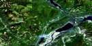
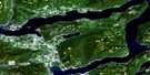
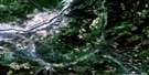
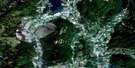
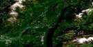
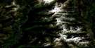
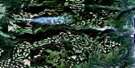
Malakwa Satellite Image Map
Download Free Aerial Photo 082L15 at 1:50,000 scale
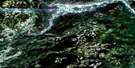
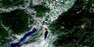
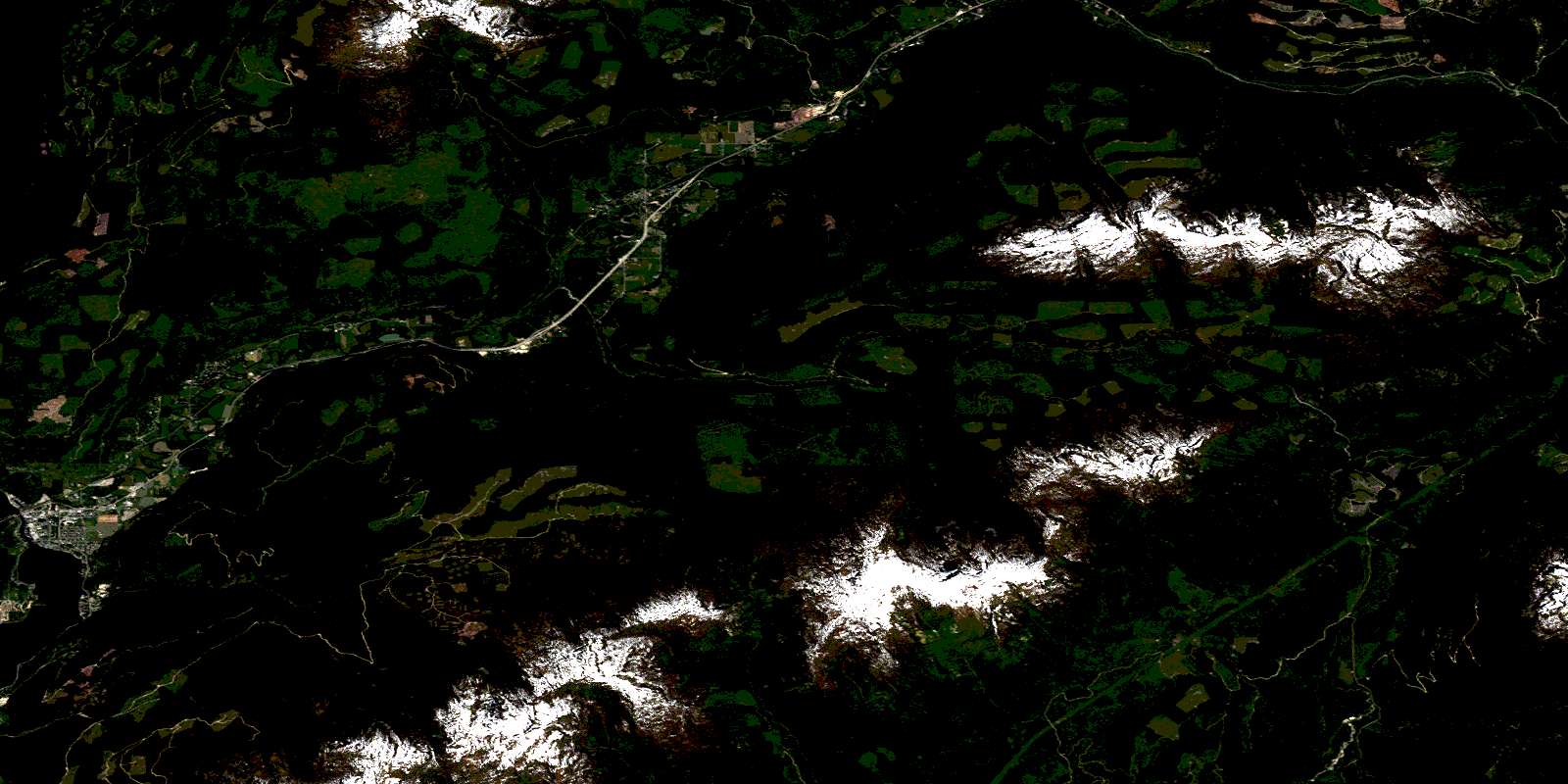
Malakwa Satellite Imagery
To view this satellite map, mouse over the air photo on the right.
You can also download this satellite image map for free:
082L15 Malakwa high-resolution satellite image map.
Maps for the Malakwa aerial map sheet 082L15 at 1:50,000 scale are also available in these versions:
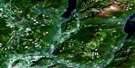
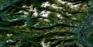
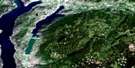
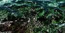
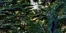
Malakwa Surrounding Area Aerial Photo Maps
 |
 |
 |
 |
 |
 |
 |
 |
 |
 |
 |
 |
 |
 |
 |
 |
© Department of Natural Resources Canada. All rights reserved.
Malakwa Gazetteer
The following places can be found on satellite image map 082L15 Malakwa:
Malakwa Satellite Image: Capes
Mara PointMalakwa Satellite Image: Channels
Sicamous NarrowsMalakwa Satellite Image: District municipality
SicamousMalakwa Satellite Image: Falls
Kay FallsMalakwa Satellite Image: Indian Reserves
Réserve indienne Sicamous 3Sicamous Indian Reserve 3
Malakwa Satellite Image: Lakes
Griffin LakeKidney Lake
Liver Lake
Mara Lake
Morton Lake
Pintail Lake
Shuswap Lake
Wap Lake
Willis Lake
Malakwa Satellite Image: Mountains
Big Bend RangesColumbia Mountains
Hunters Range
Jordan Range
Monashee Mountains
Mount Griffin
Mount Mara
Queest Mountain
Shuswap Range
Malakwa Satellite Image: Major municipal/district area - major agglomerations
Columbia-Shuswap Regional DistrictMalakwa Satellite Image: Conservation areas
Mara Point ParkSicamous Beach Park
Yard Creek Park
Malakwa Satellite Image: Plains
Cariboo PlateauMalakwa Satellite Image: Rivers
Bain CreekBowman Creek
Cavanaugh Creek
Craigellachie Creek
Crazy Creek
Dale Creek
Danforth Creek
Derry Creek
Eagle River
Frog Creek
Hummingbird Creek
Kingfisher Creek
Legerwood Creek
Loftus Creek
Mara Creek
Mitikan Creek
Noisy Creek
Owlhead Creek
Owls Head Creek
Perrin Creek
Perry River
Rutherford Creek
Sicamous Creek
Tumbler Creek
Wap Creek
West Gorge Creek
Yard Creek
Malakwa Satellite Image: Unincorporated areas
CambieCraigellachie
Endiver
Malakwa
Solsqua
Taft
© Department of Natural Resources Canada. All rights reserved.
082L Related Maps:
082L Vernon082L01 Eureka Mountain
082L02 Creighton Creek
082L03 Oyama
082L04 Shorts Creek
082L05 Westwold
082L06 Vernon
082L07 Shuswap Falls
082L08 Mount Fosthall
082L09 Gates Creek
082L10 Mabel Lake
082L11 Salmon Arm
082L12 Monte Creek
082L13 Chase
082L14 Sorrento
082L15 Malakwa
082L16 Revelstoke
