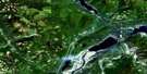
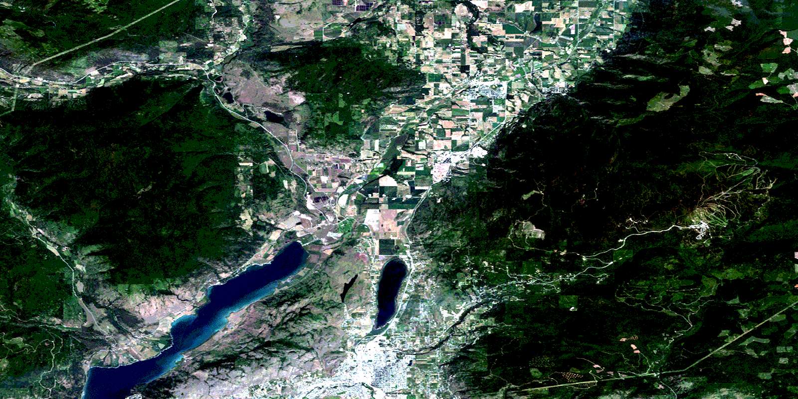
Vernon Satellite Image Map
Download Free Aerial Photo 082L06 at 1:50,000 scale
Vernon Satellite Imagery
To view this satellite map, mouse over the air photo on the right.
You can also download this satellite image map for free:
082L06 Vernon high-resolution satellite image map.
Maps for the Vernon aerial map sheet 082L06 at 1:50,000 scale are also available in these versions:
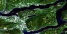
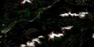
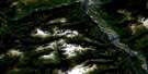
Vernon Surrounding Area Aerial Photo Maps
 |
 |
 |
 |
 |
 |
 |
 |
 |
 |
 |
 |
 |
 |
 |
 |
© Department of Natural Resources Canada. All rights reserved.
Vernon Gazetteer
The following places can be found on satellite image map 082L06 Vernon:
Vernon Satellite Image: City
ArmstrongVernon
Vernon Satellite Image: District municipality
ColdstreamSpallumcheen
Vernon Satellite Image: Falls
B.X. FallsVernon Satellite Image: Geographical areas
Kamloops Division Yale Land DistrictOsoyoos Division Yale Land District
Vernon Satellite Image: Indian Reserves
Enderby Indian Reserve 2Harris Indian Reserve 3
Okanagan Indian Reserve 1
Otter Lake Indian Reserve 2
Réserve indienne Enderby 2
Réserve indienne Harris 3
Réserve indienne Okanagan 1
Réserve indienne Otter Lake 2
Réserve indienne Salmon River 1
Réserve indienne Swan Lake 4
Salmon River Indian Reserve 1
Swan Lake 4
Swan Lake Indian Reserve 4
Vernon Satellite Image: Lakes
Bardolph LakeBecker Lake
Dixon Lake
Fortune Lake
Glenhayes Lake
Goose Lake
Heart Lake
Horseshoe Lake
Madeline Lake
Major Mutrie Lake
Montana Slough
Okanagan Lake
Otter Lake
Proctor Lake
Ronde Lake
Round Lake
Silver Star Lakes
Sovereign Lake
Spallumcheen Lake
Spanish Lake
Swan Lake
Vernon Satellite Image: Military areas
Champ de tir et champ de manoeuvre VernonVernon Range and Training Area
Vernon Satellite Image: Mountains
Memorial MountainMount Aberdeen
Mount Connaught
Mount Rose
Mount Swanson
Shuswap Highland
Silver Star Mountain
Vernon Hill
Vernon Satellite Image: Major municipal/district area - major agglomerations
Columbia-Shuswap Regional DistrictVernon Satellite Image: Conservation areas
Silver Star ParkSilver Star Recreation Area
Vernon Satellite Image: Plains
Thompson PlateauVernon Satellite Image: Rivers
Abbott CreekAlderson Creek
Anselm Creek
B.X. Creek
Banks Creek
Bate Creek
Bradley Creek
Brookside Creek
Coldstream Creek
Cumming Creek
Deafies Creek
Deep Creek
Dixon Creek
Douglas Creek
Eagle Rock Brook
East Meighan Creek
Equesis Creek
Ewer Creek
Flundra Brook
Fortune Creek
Gallon Creek
Gates Creek
Glanzier Creek
Greenhow Creek
Gurney Creek
Harland Creek
Hussard Creek
Hutley Creek
Irish Creek
John Brook
Joyce Creek
Kedleston Creek
Kendry Creek
Lindsay Creek
Maid Creek
Malysh Brook
Mann Creek
McAchaney Creek
McGregor Creek
Meighan Creek
Miriam Creek
Moffat Creek
Musgrave Creek
Naswhito Creek
Newport Creek
North Hussard Creek
North Sneesby Creek
Paterson Creek
Perrett Brook
Pine Creek
Putnam Creek
Round Creek
Salmon River
Sanesh Creek
Sherban Brook
Simons Brook
Sneesby Creek
Sneezby Creek
South Fortune Creek
Spider Creek
Sutton Creek
Vance Creek
Vernon Creek
Vlem Creek
Warren Creek
West Maid Creek
William Creek
Vernon Satellite Image: Unincorporated areas
Armstrong JunctionGlenemma
Kedleston
Larkin
O'Keefe
Orchards
Realm
Silver Star
Stepney
Sweetbridge
Sweetsbridge
© Department of Natural Resources Canada. All rights reserved.
082L Related Maps:
082L Vernon082L01 Eureka Mountain
082L02 Creighton Creek
082L03 Oyama
082L04 Shorts Creek
082L05 Westwold
082L06 Vernon
082L07 Shuswap Falls
082L08 Mount Fosthall
082L09 Gates Creek
082L10 Mabel Lake
082L11 Salmon Arm
082L12 Monte Creek
082L13 Chase
082L14 Sorrento
082L15 Malakwa
082L16 Revelstoke
