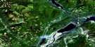
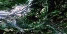
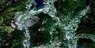
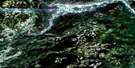
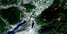
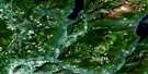
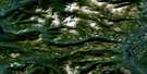
Oyama Satellite Image Map
Download Free Aerial Photo 082L03 at 1:50,000 scale
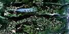
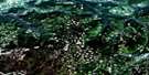
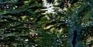
Oyama Satellite Imagery
To view this satellite map, mouse over the air photo on the right.
You can also download this satellite image map for free:
082L03 Oyama high-resolution satellite image map.
Maps for the Oyama aerial map sheet 082L03 at 1:50,000 scale are also available in these versions:
Oyama Surrounding Area Aerial Photo Maps
 |
 |
 |
 |
 |
 |
 |
 |
 |
 |
 |
 |
 |
 |
 |
 |
© Department of Natural Resources Canada. All rights reserved.
Oyama Gazetteer
The following places can be found on satellite image map 082L03 Oyama:
Oyama Satellite Image: Bays
Adventure BayBeachcomber Bay
Cosens Bay
Jade Bay
Juniper Bay
Otter Bay
Whiskey Cove
Oyama Satellite Image: Capes
Cameron PointRattlesnake Point
Shorts Point
Turtles Head Point
Oyama Satellite Image: City
VernonOyama Satellite Image: Cliffs
Wrinkly Face CliffOyama Satellite Image: District municipality
ColdstreamLake Country
Oyama Satellite Image: Geographical areas
Osoyoos Division Yale Land DistrictOyama Satellite Image: Indian Reserves
Duck Lake Indian Reserve 7Okanagan Indian Reserve 1
Priest's Valley Indian Reserve 6
Réserve indienne Duck Lake 7
Réserve indienne Okanagan 1
Réserve indienne Priest's Valley 6
Oyama Satellite Image: Islands
Grant IslandWhiskey Island
Oyama Satellite Image: Lakes
Aberdeen LakeAileen Lake
Alex Lake
Bear Lake
Brunette Lake
Chatterton Lake
Cochrane Lake
Crooked Lake
Curtis Lake
Damer Lake
Dee Lake
Deep Lake
Deer Lake
Doreen Lake
Echo Lake
Edwin Lake
Edwin Lakes
Ellison Lake
Flyfish Lakes
Grizzly Lake
Haddo Lake
Hayhurst Lake
Hidden Lake
High Lake
Ideal Lake
Ince Lake
Island Lake
Kaiser Bill Lake
Kalamalka Lake
King Edward Lake
Long Lake
Loon Lake
Lost Lake
Min Lake
Moore Lake
Nicklen Lake
Okanagan Lake
Oyama Lake
Park Lakes
Rankin Lake
Rod Lake
Roly Lake
Ruth Lake
Sinclair Lake
Specs Lakes
Streak Lake
Swalwell Lake
Tompson Lake
Towgood Lake
Wilma Lake
Wollaston Lake
Wood Lake
Oyama Satellite Image: Military areas
Champ de tir et champ de manoeuvre VernonVernon Range and Training Area
Oyama Satellite Image: Mountains
Bluenose MountainEllison Ridge
Grizzly Hill
Long Mountain
Mount Middleton
Predator Ridge
Shuswap Highland
Spion Kop
Oyama Satellite Image: Major municipal/district area - major agglomerations
Regional District of Central OkanaganOyama Satellite Image: Conservation areas
Ellison ParkKalamalka Lake Park
Kalamalka West Park
Kekuli Bay Park
Truman Dagnus Locheed Park
Oyama Satellite Image: Plains
Thompson PlateauOyama Satellite Image: Rivers
Anderson BrookBelgo Creek
Bessette Creek
Boltres Creek
Brew Stream
Brewer Creek
Browns Creek
Bulman Creek
Cinnabar Creek
Clark Creek
Coldstream Creek
Conroy Creek
Cosens Creek
Craster Creek
Dimetri Creek
Duteau Creek
Echo Creek
Fisbee Creek
Harris Creek
Hayton Creek
Heart Creek
Hilda Creek
Horse Creek
Kelowna Creek
Lawson Creek
Mill Creek
Mugford Creek
Nicklen Creek
Norris Creek
North Oyama Creek
Oyama Creek
Reets Creek
Reid Creek
Ribbleworth Creek
Shorts Creek
Spider Creek
Sturt Creek
Vernon Creek
Whiteman Creek
Winfield Creek
Oyama Satellite Image: Unincorporated areas
Beachcomber BayCaesars
Carrs
Cedar Grove
Fintry
Kalamalka
Killiney
Lavington
Lumby Junction
Nahun
Okanagan Centre
Okanagan Landing
Oyama
Pixie Beach
Whiteman Landing
Wilson Landing
Winfield
Woodsdale
Oyama Satellite Image: Valleys
Cougar CanyonOyama Satellite Image: Low vegetation
Grizzly Swamp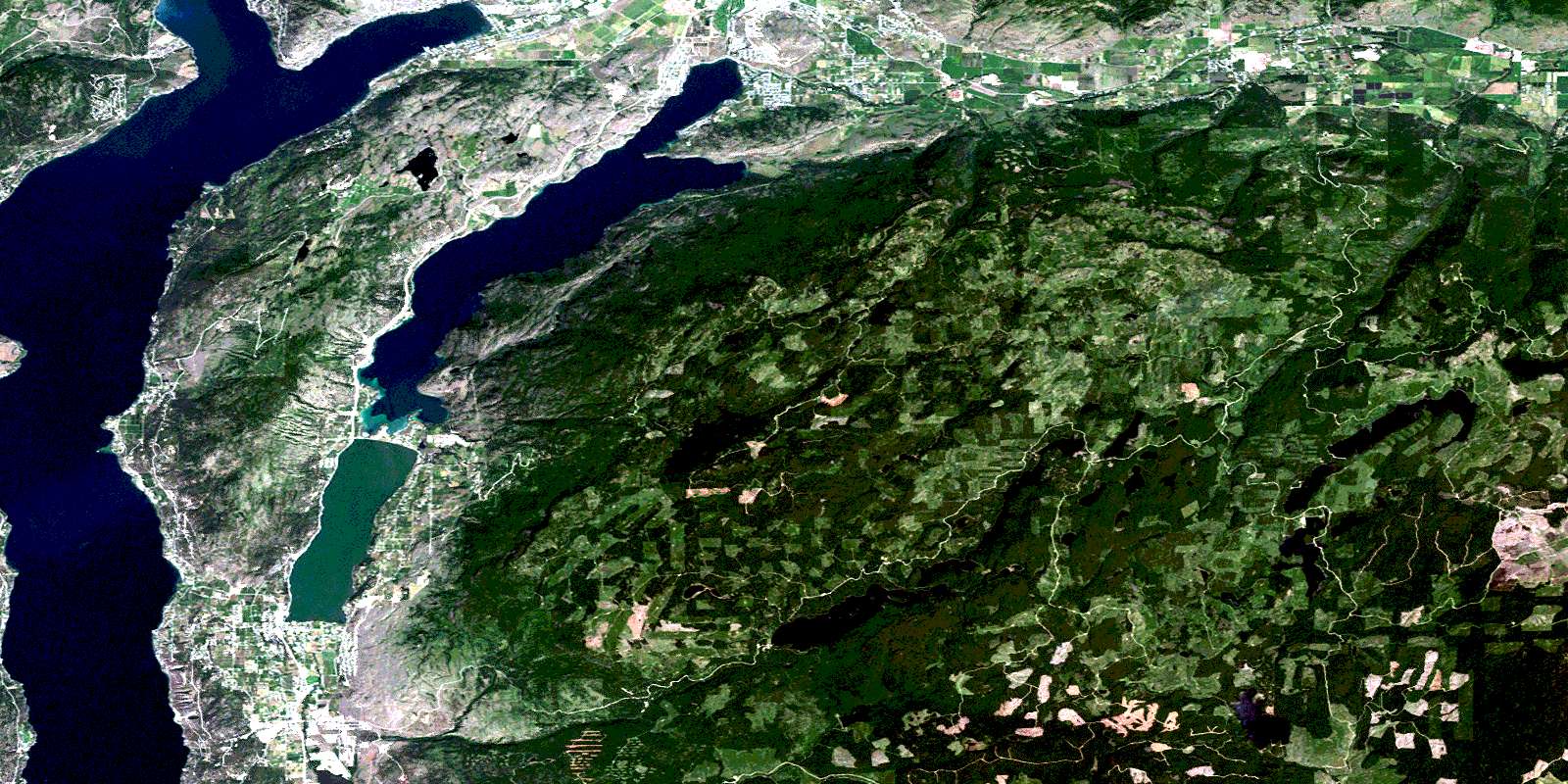
© Department of Natural Resources Canada. All rights reserved.
082L Related Maps:
082L Vernon082L01 Eureka Mountain
082L02 Creighton Creek
082L03 Oyama
082L04 Shorts Creek
082L05 Westwold
082L06 Vernon
082L07 Shuswap Falls
082L08 Mount Fosthall
082L09 Gates Creek
082L10 Mabel Lake
082L11 Salmon Arm
082L12 Monte Creek
082L13 Chase
082L14 Sorrento
082L15 Malakwa
082L16 Revelstoke
