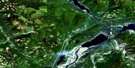
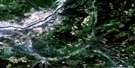
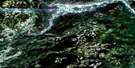
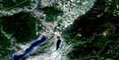
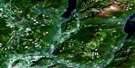
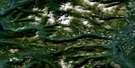
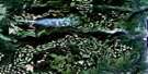
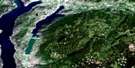
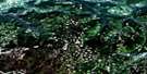
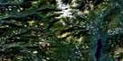
Chase Satellite Image Map
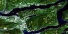
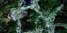
Download Free Aerial Photo 082L13 at 1:50,000 scale
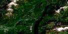
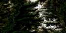
Chase Satellite Imagery
To view this satellite map, mouse over the air photo on the right.
You can also download this satellite image map for free:
082L13 Chase high-resolution satellite image map.
Maps for the Chase aerial map sheet 082L13 at 1:50,000 scale are also available in these versions:
Chase Surrounding Area Aerial Photo Maps
 |
 |
 |
 |
 |
 |
 |
 |
 |
 |
 |
 |
 |
 |
 |
 |
© Department of Natural Resources Canada. All rights reserved.
Chase Gazetteer
The following places can be found on satellite image map 082L13 Chase:
Chase Satellite Image: Bays
Indigo BayMcKay Bay
Chase Satellite Image: Capes
Cruickshank PointMcLeod Point
Meeks Point
Woolford Point
Wulfrid Point
Chase Satellite Image: Indian Reserves
Chum Creek Indian Reserve 2Hustalen Indian Reserve 1
Meadow Creek Indian Reserve 3
Neskainlith Indian Reserve 1
Neskainlith Indian Reserve 2
Neskonlith Indian Reserve 1
Neskonlith Indian Reserve 2
Quaaout Indian Reserve 1
Réserve indienne Chum Creek 2
Réserve indienne Hustalen 1
Réserve indienne Meadow Creek 3
Réserve indienne Neskainlith 1
Réserve indienne Neskainlith 2
Réserve indienne Neskonlith 1
Réserve indienne Neskonlith 2
Réserve indienne Quaaout 1
Réserve indienne Sahhaltkum 4
Réserve indienne Scotch Creek 4
Réserve indienne Stequmwhulpa 5
Réserve indienne Toops 3
Sahhaltkum Indian Reserve 4
Scotch Creek Indian Reserve 4
Stequmwhulpa Indian Reserve 5
Toops Indian Reserve 3
Chase Satellite Image: Lakes
Aylmer LakeBanshee Lake
Bray Lake
Cahilty Lake
Chum Lake
Dennis Lake
Eileen Lake
Fadear Lake
Fleming Lake
Hadlow Lake
Hyas Lake
Kosta Lake
Little McGillivray Lake
Little Shuswap Lake
McGillivray Lake
Morrisey Lake
Niskonlith Lake
Pemberton Lake
Phillips Lake
Rhoda Lake
Shuswap Lake
Skmana Lake
Warren Lake
Chase Satellite Image: Mountains
Adams HillBruhn Ridge
Mount Boysse
Mount Cahilty
Mount Leslie
Mount Morrisey
Mount Scatchard
Mount Tod
Ptarmigan Hills
Shaw Hill
Shuswap Highland
Squilax Mountain
Tsalkom Mountain
Chase Satellite Image: Major municipal/district area - major agglomerations
Columbia-Shuswap Regional DistrictChase Satellite Image: Conservation areas
Adams Lake - Poplar Point ParkAdams Lake Park
Adams Lake Recreation Area
Adams River Recreation Area
Hiuihil Creek Park
Niskonlith Lake Park
Niskonlith Lake Recreation Area
Roderick Haig-Brown Conservation Area
Roderick Haig-Brown Park
Roderick Haig-Brown Recreation Area
Chase Satellite Image: Plains
Thompson PlateauChase Satellite Image: Rivers
Adams RiverAgnes Creek
Armitage Creek
Botticelli Creek
Bruhn Creek
Bush Creek
Cahilty Creek
Chase Creek
Chee Creek
Christian Creek
Chum Creek
Corning Creek
Fadear Creek
Gulch Creek
Hazel Creek
Henderson Creek
Hiuihill Creek
Hustalen Creek
Kelowna Creek
Little River
Loakin Creek
Louis Creek
McAuliffe Creek
McGillivray Creek
McKnight Creek
Nikwikwaia Creek
Niskonlith Creek
Paling Creek
Paul Creek
Resort Creek
Scotch Creek
Skimikin Creek
Skmana Creek
South Thompson River
Woolford Creek
Chase Satellite Image: Unincorporated areas
Adams LakeElson
Lee Creek
Shuswap
Squilax
Stormont
Sun Peaks
Turtle Valley
Chase Satellite Image: Valleys
Split Toe GulchTurtle Valley
Chase Satellite Image: Villages
Chase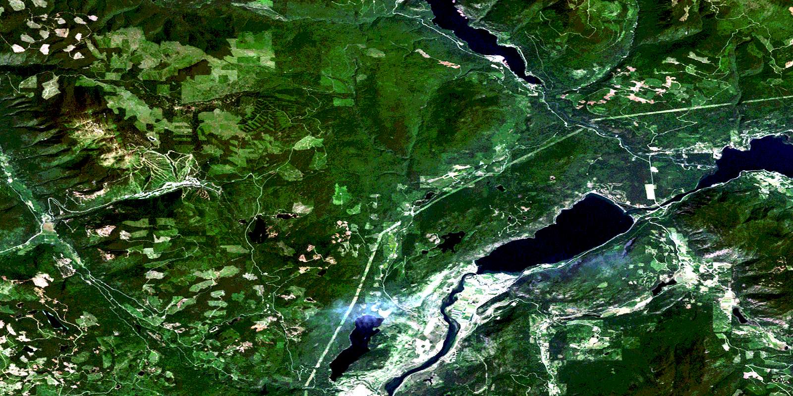
© Department of Natural Resources Canada. All rights reserved.
082L Related Maps:
082L Vernon082L01 Eureka Mountain
082L02 Creighton Creek
082L03 Oyama
082L04 Shorts Creek
082L05 Westwold
082L06 Vernon
082L07 Shuswap Falls
082L08 Mount Fosthall
082L09 Gates Creek
082L10 Mabel Lake
082L11 Salmon Arm
082L12 Monte Creek
082L13 Chase
082L14 Sorrento
082L15 Malakwa
082L16 Revelstoke
