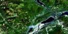
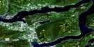
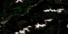
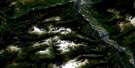
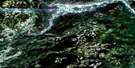
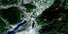
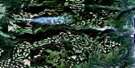
Shuswap Falls Satellite Image Map
Download Free Aerial Photo 082L07 at 1:50,000 scale
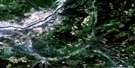
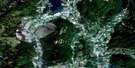
Shuswap Falls Satellite Imagery
To view this satellite map, mouse over the air photo on the right.
You can also download this satellite image map for free:
082L07 Shuswap Falls high-resolution satellite image map.
Maps for the Shuswap Falls aerial map sheet 082L07 at 1:50,000 scale are also available in these versions:
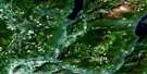
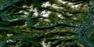
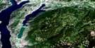
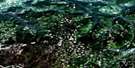
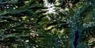
Shuswap Falls Surrounding Area Aerial Photo Maps
 |
 |
 |
 |
 |
 |
 |
 |
 |
 |
 |
 |
 |
 |
 |
 |
© Department of Natural Resources Canada. All rights reserved.
Shuswap Falls Gazetteer
The following places can be found on satellite image map 082L07 Shuswap Falls:
Shuswap Falls Satellite Image: Falls
Brenda FallsShuswap Falls
Shuswap Falls Satellite Image: Lakes
Beaverjack LakeChristian Lake
Christien Lake
Conn Lake
Holstein Lake
Kathy Lake
Mabel Lake
Pritchard Lake
Rawlings Lake
Seidner Lake
Sugar Lake
Shuswap Falls Satellite Image: Mountains
Bobbie Burns MountainCherry Ridge
Columbia Mountains
Monashee Mountains
Mount Bobbie Burns
Park Mountain
Park Range
Shuswap Highland
Silver Hills
Trinity Hills
Shuswap Falls Satellite Image: Major municipal/district area - major agglomerations
Regional District of North OkanaganShuswap Falls Satellite Image: Conservation areas
Mabel Lake ParkShuswap Falls Satellite Image: Rivers
Alberts CreekBeaverjack Creek
Bessette Creek
Bigg Creek
Blue Springs Creek
Buchanan Creek
Burnyeat Creek
Cartwright Creek
Cherry Creek
Christian Creek
Christien Creek
Deafies Creek
Duteau Creek
Fairbrother Creek
Gallon Creek
Gilbert Creek
Gilder Creek
Holstein Creek
Ireland Creek
Latewhos Creek
Lossie Creek
Lossy Creek
Miriam Creek
Oleen Creek
Outlet Creek
Putnam Creek
Reiter Creek
Sanesh Creek
Sauff Creek
Schunter Creek
Shuswap River
Sowsap Creek
Specht Creek
Sprockton Creek
Star Creek
Styx Creek
Taylor Creek
Trinity Creek
Vance Creek
Vlem Creek
Woodward Creek
Shuswap Falls Satellite Image: Unincorporated areas
Blue SpringsMabel Lake
Reiswig
Shuswap Falls
Trinity Valley
Shuswap Falls Satellite Image: Valleys
Blue Springs ValleyTrinity Valley
White Valley
Shuswap Falls Satellite Image: Villages
Lumby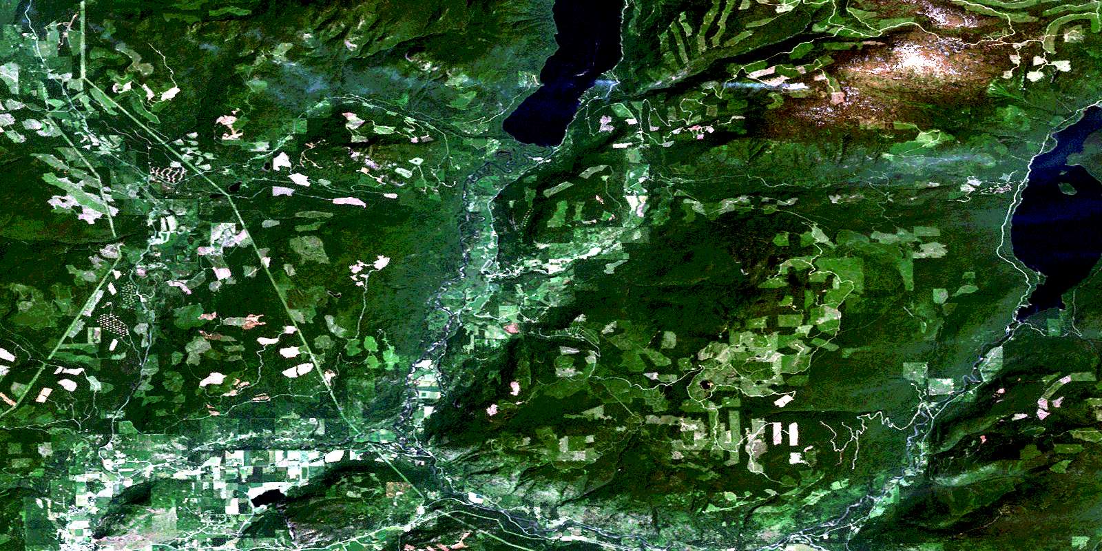
© Department of Natural Resources Canada. All rights reserved.
082L Related Maps:
082L Vernon082L01 Eureka Mountain
082L02 Creighton Creek
082L03 Oyama
082L04 Shorts Creek
082L05 Westwold
082L06 Vernon
082L07 Shuswap Falls
082L08 Mount Fosthall
082L09 Gates Creek
082L10 Mabel Lake
082L11 Salmon Arm
082L12 Monte Creek
082L13 Chase
082L14 Sorrento
082L15 Malakwa
082L16 Revelstoke
