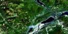
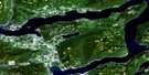
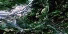
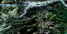
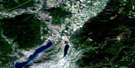
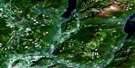
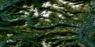
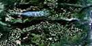
Westwold Satellite Image Map
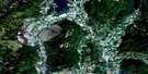
Download Free Aerial Photo 082L05 at 1:50,000 scale
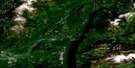
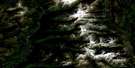
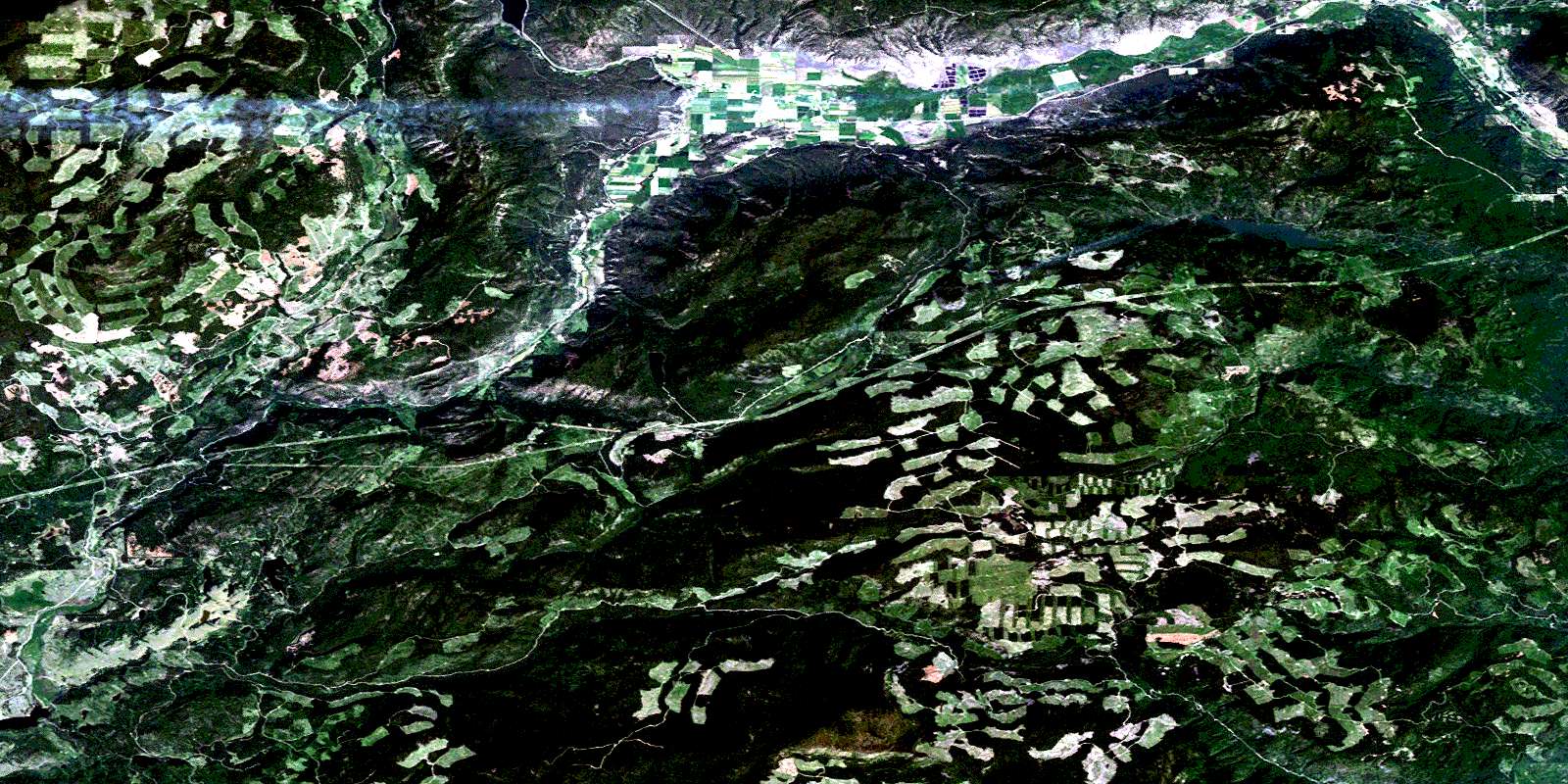
Westwold Satellite Imagery
To view this satellite map, mouse over the air photo on the right.
You can also download this satellite image map for free:
082L05 Westwold high-resolution satellite image map.
Maps for the Westwold aerial map sheet 082L05 at 1:50,000 scale are also available in these versions:
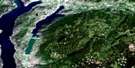
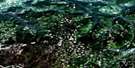
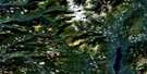
Westwold Surrounding Area Aerial Photo Maps
 |
 |
 |
 |
 |
 |
 |
 |
 |
 |
 |
 |
 |
 |
 |
 |
© Department of Natural Resources Canada. All rights reserved.
Westwold Gazetteer
The following places can be found on satellite image map 082L05 Westwold:
Westwold Satellite Image: Indian Reserves
Réserve indienne Salmon Lake 7Salmon Lake Indian Reserve 7
Westwold Satellite Image: Lakes
Beautiful LakeBouleau Lake
Drum Lake
Jimmy Lake
Lady King Lake
Little Bouleau Lake
Little Pinaus Lake
Monte Lake
Nugget Lake
Pinaus Lake
Salmon Lake
Sawmill Lake
Square Lake
Stephens Lakes
Target Lake
Will Lake
Woods Lake
Westwold Satellite Image: Mountains
Bouleau MountainMonte Hills
Mount Hailstone
Mount Janicki
Siwash Rock Mountain
Tahaetkun Mountain
Tuktakamin Mountain
Westwold Satellite Image: Major municipal/district area - major agglomerations
Columbia-Shuswap Regional DistrictWestwold Satellite Image: Conservation areas
Monte Lake ParkPearse Park
Westwold Park
Westwold Satellite Image: Plains
Thompson PlateauWestwold Satellite Image: Rivers
Adelphi CreekBishop Creek
Blackjack Creek
Blair Creek
Bolean Creek
Bouleau Creek
Browns Creek
Cain Creek
Cress Creek
Equesis Creek
Ewer Creek
Falkland Creek
Ferris Creek
Goodwin Creek
Ingram Creek
Japan Creek
Jupiter Creek
McGregor Creek
McInnis Creek
Monte Creek
Munro Creek
Nash Creek
Naswhito Creek
Nugget Creek
Pinaus Creek
Poyntz Creek
Pringle Creek
Random Creek
Salmon River
Sunlight Creek
Teakettle Creek
Twig Creek
Warren Creek
Weyman Creek
Will Creek
Westwold Satellite Image: Unincorporated areas
FalklandWestwold
© Department of Natural Resources Canada. All rights reserved.
082L Related Maps:
082L Vernon082L01 Eureka Mountain
082L02 Creighton Creek
082L03 Oyama
082L04 Shorts Creek
082L05 Westwold
082L06 Vernon
082L07 Shuswap Falls
082L08 Mount Fosthall
082L09 Gates Creek
082L10 Mabel Lake
082L11 Salmon Arm
082L12 Monte Creek
082L13 Chase
082L14 Sorrento
082L15 Malakwa
082L16 Revelstoke
