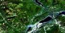
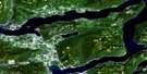
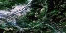
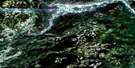
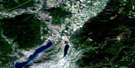
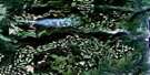
Eureka Mountain Satellite Image Map
Download Free Aerial Photo 082L01 at 1:50,000 scale
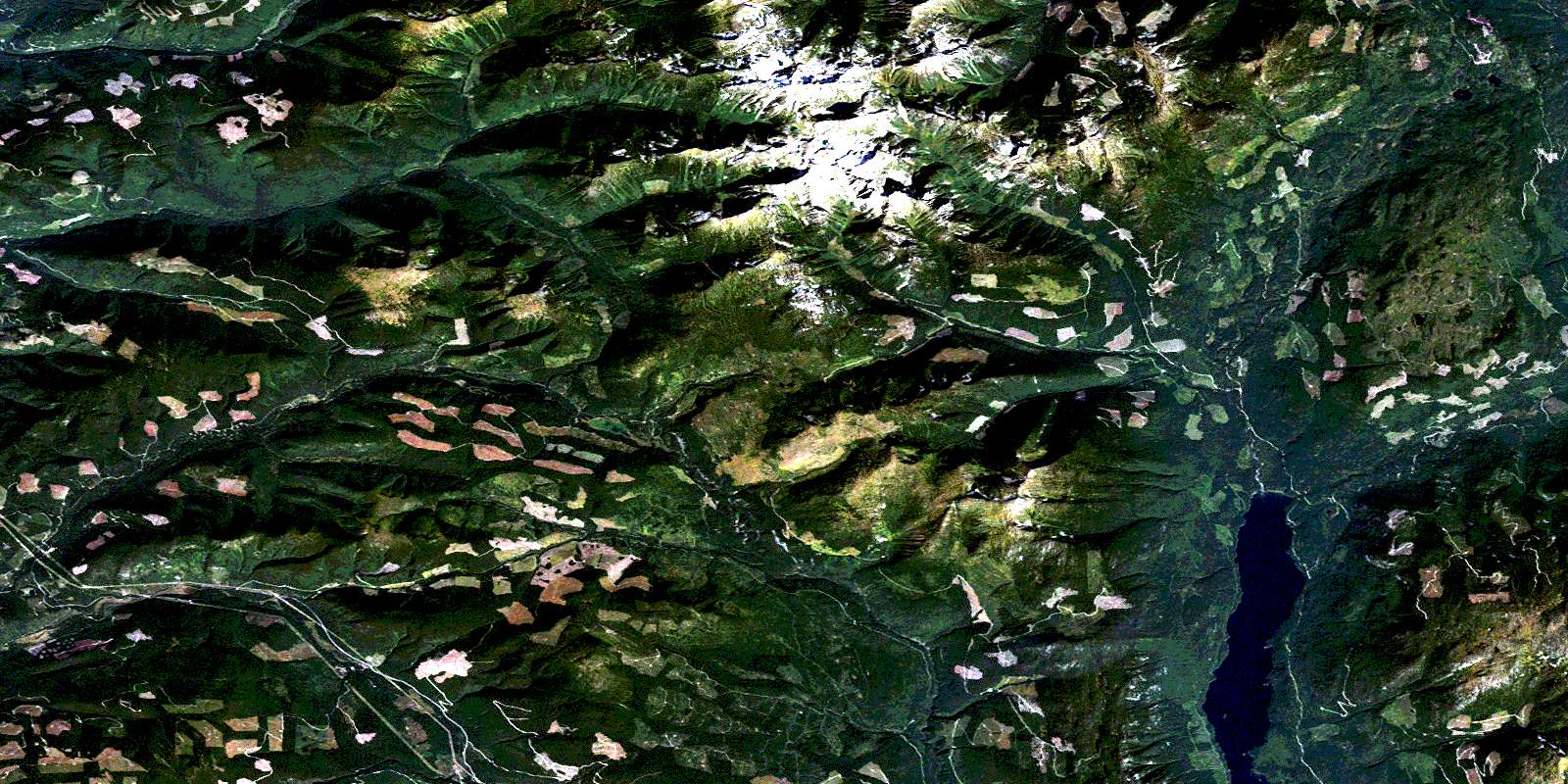
Eureka Mountain Satellite Imagery
To view this satellite map, mouse over the air photo on the right.
You can also download this satellite image map for free:
082L01 Eureka Mountain high-resolution satellite image map.
Maps for the Eureka Mountain aerial map sheet 082L01 at 1:50,000 scale are also available in these versions:
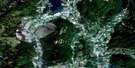
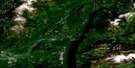
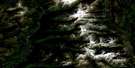
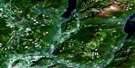
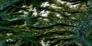
Eureka Mountain Surrounding Area Aerial Photo Maps
 |
 |
 |
 |
 |
 |
 |
 |
 |
 |
 |
 |
 |
 |
 |
 |
© Department of Natural Resources Canada. All rights reserved.
Eureka Mountain Gazetteer
The following places can be found on satellite image map 082L01 Eureka Mountain:
Eureka Mountain Satellite Image: Lakes
Holmes LakeKeefer Lake
North Caribou Lake
Pinnacle Lake
Rioulx Lake
Shiell Lake
South Caribou Lake
Whatshan Lake
Whatshan Lakes
Eureka Mountain Satellite Image: Mountains
Columbia MountainsEureka Mountain
Inonoaklin Mountain
Midway Range
Monashee Mountain
Monashee Mountains
Mount Beavan
Mount Beaven
The Pinnacles
Whatshan Peak
Whatshan Range
Yeoward Mountain
Eureka Mountain Satellite Image: Major municipal/district area - major agglomerations
Regional District of Central KootenayEureka Mountain Satellite Image: Rivers
Arrow Park (Mosquito) CreekArrowpark Creek
Banting Creek
Barnes Creek
Beck Creek
Bergman Creek
Bergman Garnet Creek
Cariboo Creek
Cherry Creek
Christy Creek
Clematis Creek
Coates Creek
Currie Creek
Eureka Creek
Faria Creek
Fife Creek
Fisher Creek
Holding Creek
Ingersoll Creek
Inonoaklin Creek
Keefer Creek
Kettle River
Marsh Creek
Monashee Creek
Mosquito Creek
Nesbitt Creek
Railroad Creek
Rioulx Creek
Severide Creek
Silver Bell Creek
Stevens Creek
Strutell Creek
Sylvia Creek
Thunder Creek
Trapp Creek
Wauchope Creek
White Grouse Creek
Yeoward Creek
© Department of Natural Resources Canada. All rights reserved.
082L Related Maps:
082L Vernon082L01 Eureka Mountain
082L02 Creighton Creek
082L03 Oyama
082L04 Shorts Creek
082L05 Westwold
082L06 Vernon
082L07 Shuswap Falls
082L08 Mount Fosthall
082L09 Gates Creek
082L10 Mabel Lake
082L11 Salmon Arm
082L12 Monte Creek
082L13 Chase
082L14 Sorrento
082L15 Malakwa
082L16 Revelstoke
