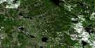
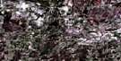
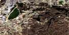
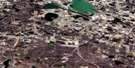
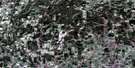
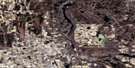
Westlock Satellite Image Map
Download Free Aerial Photo 083I04 at 1:50,000 scale
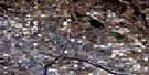
Westlock Satellite Imagery
To view this satellite map, mouse over the air photo on the right.
You can also download this satellite image map for free:
083I04 Westlock high-resolution satellite image map.
Maps for the Westlock aerial map sheet 083I04 at 1:50,000 scale are also available in these versions:
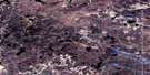
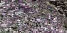
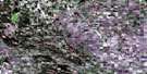
Westlock Surrounding Area Aerial Photo Maps
 |
 |
 |
 |
 |
 |
 |
 |
 |
 |
 |
 |
 |
 |
 |
 |
© Department of Natural Resources Canada. All rights reserved.
Westlock Gazetteer
The following places can be found on satellite image map 083I04 Westlock:
Westlock Satellite Image: Lakes
Fernand LakeHaley Lake
Halfway Lake
Helliwell Lake
Lebeaus Lake
Wakomao Lake
Westlock Satellite Image: Major municipal/district area - major agglomerations
Municipal District of Sturgeon No. 90Municipal District of Westlock No. 92
Westlock Satellite Image: Rivers
Fairydell CreekPembina River
Redwater River
Tawatinaw River
Wabash Creek
Westlock Satellite Image: Towns
WestlockWestlock Satellite Image: Unincorporated areas
FairydellHazel Bluff
Jeffrey
Nestow
Picardville
Pickardville
Vimy
Westlock Satellite Image: Villages
Clyde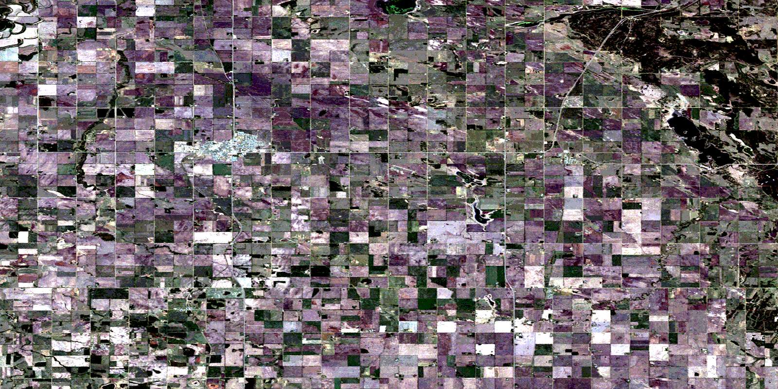
© Department of Natural Resources Canada. All rights reserved.
