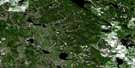
Grosmont Satellite Image Map
Download Free Aerial Photo 083I13 at 1:50,000 scale
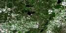
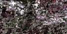
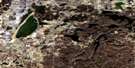
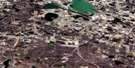
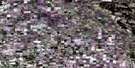
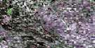
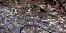
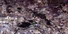
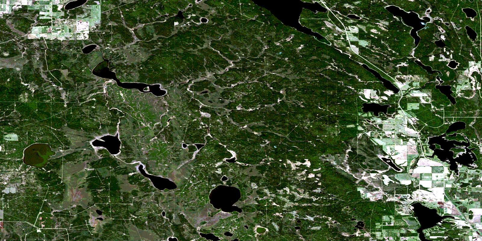
Grosmont Satellite Imagery
To view this satellite map, mouse over the air photo on the right.
You can also download this satellite image map for free:
083I13 Grosmont high-resolution satellite image map.
Maps for the Grosmont aerial map sheet 083I13 at 1:50,000 scale are also available in these versions:
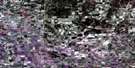
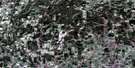
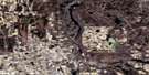
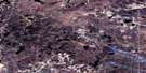
Grosmont Surrounding Area Aerial Photo Maps
 |
 |
 |
 |
 |
 |
 |
 |
 |
 |
 |
 |
 |
 |
 |
 |
© Department of Natural Resources Canada. All rights reserved.
Grosmont Gazetteer
The following places can be found on satellite image map 083I13 Grosmont:
Grosmont Satellite Image: Lakes
Baptiste LakeBlefgen Lake
Brereton Lake
Chain Lakes
Cow Moose Lake
Crooked Lake
Dancing Lake
Ghost Lake
Island Lake
Jenkins Lake
Lake Gray
Lawrence Lake
Majors Lake
Meyer Lake
September Lake
Spotted Horse Lake
Grosmont Satellite Image: Major municipal/district area - major agglomerations
County of Athabasca No. 12Municipal District of Lesser Slave River No. 124
Grosmont Satellite Image: Rivers
Baptiste CreekChisholm Creek
Duck Creek
Island Creek
Rourke Creek
Grosmont Satellite Image: Unincorporated areas
GrosmontLahaieville
White Gull
Grosmont Satellite Image: Villages
Island LakeIsland Lake South
Sunset Beach
West Baptiste
Whispering Hills
© Department of Natural Resources Canada. All rights reserved.
