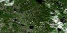
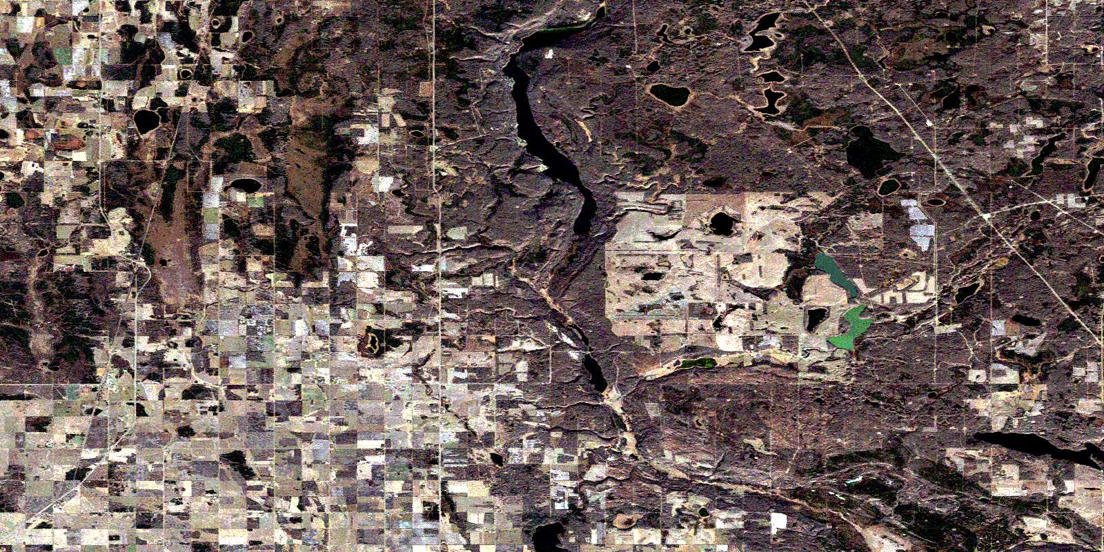
Newbrook Satellite Image Map
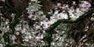
Download Free Aerial Photo 083I07 at 1:50,000 scale
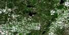
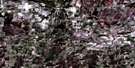
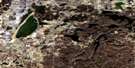
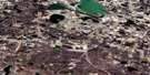
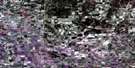
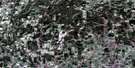
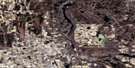
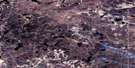
Newbrook Satellite Imagery
To view this satellite map, mouse over the air photo on the right.
You can also download this satellite image map for free:
083I07 Newbrook high-resolution satellite image map.
Maps for the Newbrook aerial map sheet 083I07 at 1:50,000 scale are also available in these versions:
Newbrook Surrounding Area Aerial Photo Maps
 |
 |
 |
 |
 |
 |
 |
 |
 |
 |
 |
 |
 |
 |
 |
 |
© Department of Natural Resources Canada. All rights reserved.
Newbrook Gazetteer
The following places can be found on satellite image map 083I07 Newbrook:
Newbrook Satellite Image: Lakes
Figure LakeHanmore Lake
Hollow Lake
Lucky Lake
Saturday Lake
Valley Lake
Newbrook Satellite Image: Major municipal/district area - major agglomerations
County of Athabasca No. 12County of Smoky Lake No. 13
County of Thorhild No. 7
Smoky Lake County
Newbrook Satellite Image: Conservation areas
Long Lake Provincial ParkNewbrook Satellite Image: Rivers
Flat CreekWaskatenau Creek
White Earth Creek
Newbrook Satellite Image: Unincorporated areas
AlpenAlpen Siding
Balsam Grove
Beaver River Metis Colony
Beaver River Metis Settlement
Buffalo Lake Metis Settlement
Newbrook
Wolyn
© Department of Natural Resources Canada. All rights reserved.
