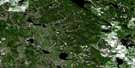
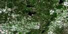
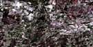
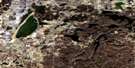
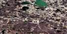
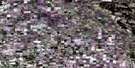
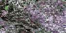
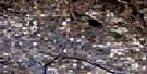
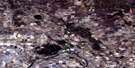
Hylo Satellite Image Map
Download Free Aerial Photo 083I09 at 1:50,000 scale
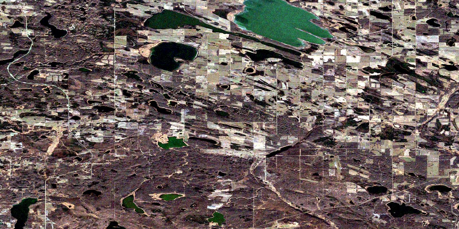
Hylo Satellite Imagery
To view this satellite map, mouse over the air photo on the right.
You can also download this satellite image map for free:
083I09 Hylo high-resolution satellite image map.
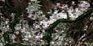
Maps for the Hylo aerial map sheet 083I09 at 1:50,000 scale are also available in these versions:
Hylo Surrounding Area Aerial Photo Maps
 |
 |
 |
 |
 |
 |
 |
 |
 |
 |
 |
 |
 |
 |
 |
 |
© Department of Natural Resources Canada. All rights reserved.
Hylo Gazetteer
The following places can be found on satellite image map 083I09 Hylo:
Hylo Satellite Image: Islands
Hare IslandHylo Satellite Image: Lakes
Auger LakeBiollo Lake
Burnt Lake
Cordwood Lake
Crosscut Lake
Field Lake
Kerr Lake
Kinosiu Lake
Little Beaver Lake
Lodge Lake
Lofty Lake
McBernie Lake
McCarthy Lake
Missawawi Lake
North Buck Lake
Olympic Lake
Powder Lake
Sherring Lake
Tawakwato Lake
Trapeze Lake
Windfall Lake
Hylo Satellite Image: Major municipal/district area - major agglomerations
County of Athabasca No. 12County of Smoky Lake No. 13
Lakeland County
Municipal District of Bonnyville No. 87
Smoky Lake County
Hylo Satellite Image: Rivers
Amisk RiverBeaver River
Hylo Satellite Image: Unincorporated areas
Beaver River Metis ColonyBeaver River Metis Settlement
Beaver River Metis Settlement
Dewar
Hylo
Kikino Metis Settlement
Noral
Venice
© Department of Natural Resources Canada. All rights reserved.
