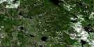
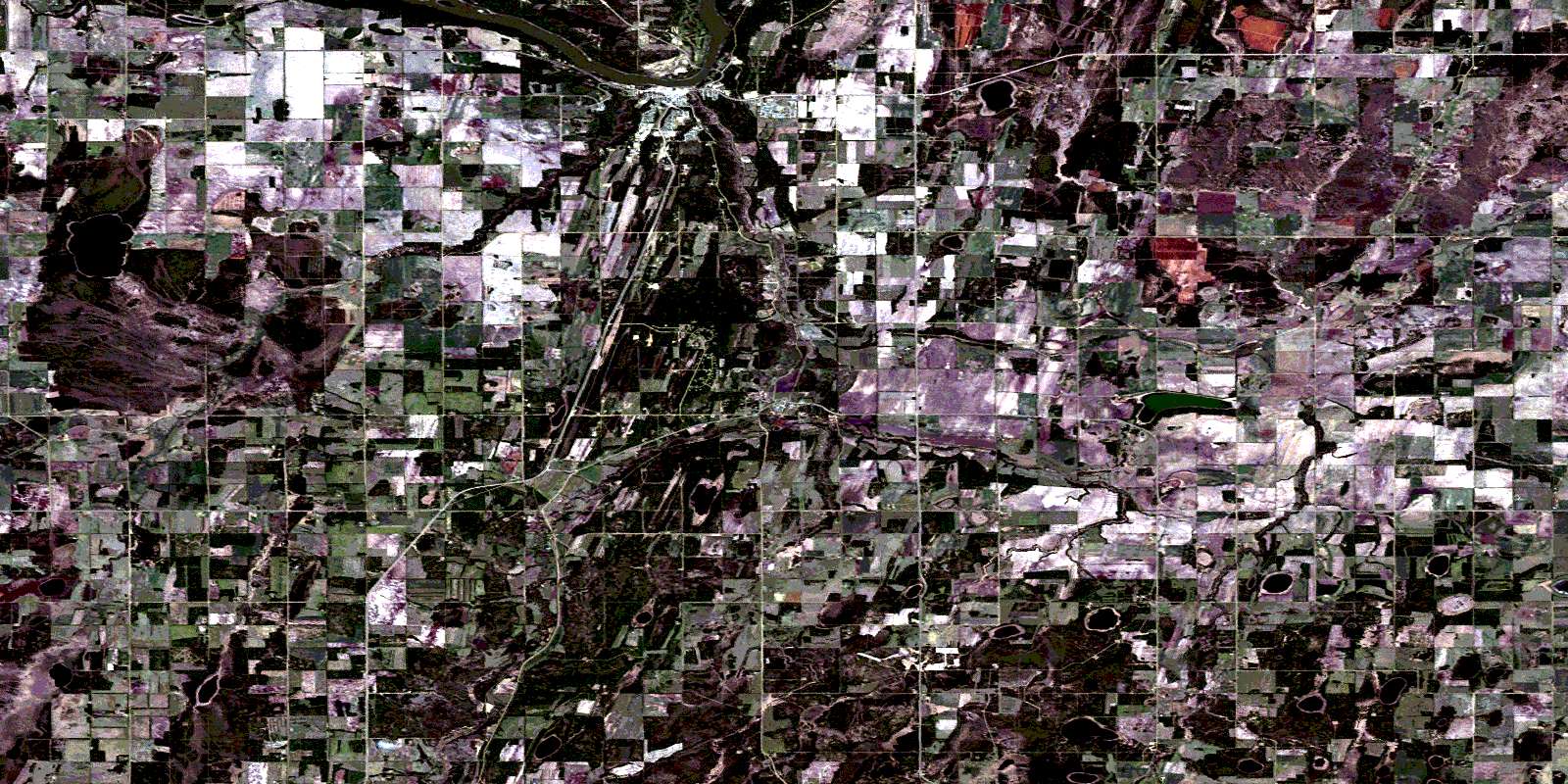
Athabaska Satellite Image Map
Download Free Aerial Photo 083I11 at 1:50,000 scale
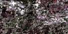
Athabaska Satellite Imagery
To view this satellite map, mouse over the air photo on the right.
You can also download this satellite image map for free:
083I11 Athabaska high-resolution satellite image map.
Maps for the Athabaska aerial map sheet 083I11 at 1:50,000 scale are also available in these versions:
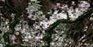
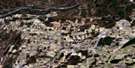
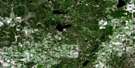
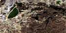
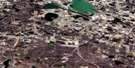
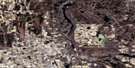
Athabaska Surrounding Area Aerial Photo Maps
 |
 |
 |
 |
 |
 |
 |
 |
 |
 |
 |
 |
 |
 |
 |
 |
© Department of Natural Resources Canada. All rights reserved.
Athabaska Gazetteer
The following places can be found on satellite image map 083I11 Athabaska:
Athabaska Satellite Image: Lakes
Ansell LakeArchie Lake
Arthur Lake
Bleak Lake
Bobier Lake
Camp Lake
Canoe Lake
Frank Lake
George Lake
Gilbert Lake
Grass Lake
Hanlon Lake
Jim Lake
Joseph Lake
Kinikinik Lake
Lee Lake
Long Lake
Mastin Lake
Mickel Lake
Miles Lake
Pear Lake
Pine Lake
Plante Lake
Plum Lake
Price Lake
Ring Lake
Spear Lake
Stanley Lake
Tailor Lake
Athabaska Satellite Image: Major municipal/district area - major agglomerations
County of Athabasca No. 12Athabaska Satellite Image: Other municipal/district area - miscellaneous
Improvement District No. 18Improvement District of Little Divide No. 18 South
Athabaska Satellite Image: Conservation areas
Athabasca Landing Provincial Historic Site (Undeveloped)Meanook National Wildlife Area
Réserve nationale de faune de Meanook
Athabaska Satellite Image: Rivers
Babette CreekBaptiste Creek
Colinton Creek
Little Pine Creek
Muskeg Creek
Pine Creek
Price Creek
Tawatinaw River
Athabaska Satellite Image: Towns
AthabascaAthabaska
Athabaska Satellite Image: Unincorporated areas
ColintonKinikinik
Meanook
Paxson
© Department of Natural Resources Canada. All rights reserved.
