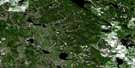
Boyle Satellite Image Map
Download Free Aerial Photo 083I10 at 1:50,000 scale
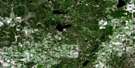
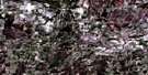
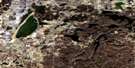
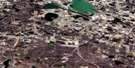
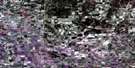
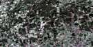
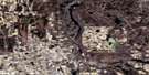
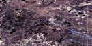
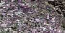
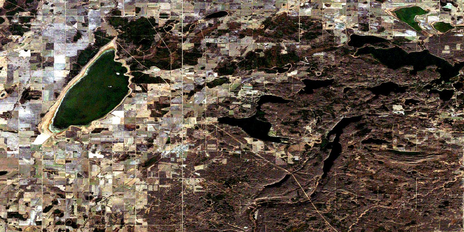
Boyle Satellite Imagery
To view this satellite map, mouse over the air photo on the right.
You can also download this satellite image map for free:
083I10 Boyle high-resolution satellite image map.
Maps for the Boyle aerial map sheet 083I10 at 1:50,000 scale are also available in these versions:
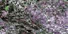
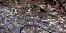
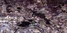
Boyle Surrounding Area Aerial Photo Maps
 |
 |
 |
 |
 |
 |
 |
 |
 |
 |
 |
 |
 |
 |
 |
 |
© Department of Natural Resources Canada. All rights reserved.
Boyle Gazetteer
The following places can be found on satellite image map 083I10 Boyle:
Boyle Satellite Image: Lakes
Amisk LakeAuger Lake
Big Johnson Lake
Chump Lake
Corner Lake
Flat Lake
Hope Lake
Little Johnson Lake
North Buck Lake
Skeleton Lake
Stronach Lake
Ward Lake
Windy Lake
Boyle Satellite Image: Major municipal/district area - major agglomerations
County of Athabasca No. 12County of Smoky Lake No. 13
Smoky Lake County
Boyle Satellite Image: Rivers
Amisk RiverFlat Creek
Pine Creek
Boyle Satellite Image: Unincorporated areas
Amber ValleyBeaver River Metis Colony
Beaver River Metis Settlement
Buffalo Lake Metis Settlement
Caslan
Donatville
Ellscott
Boyle Satellite Image: Villages
BondissBoyle
Mewatha Beach
© Department of Natural Resources Canada. All rights reserved.
