Rolphton Topo Map Online
Download Free Topo Map Sheet 031K04 at 1:50,000 scale
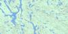
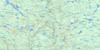
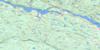
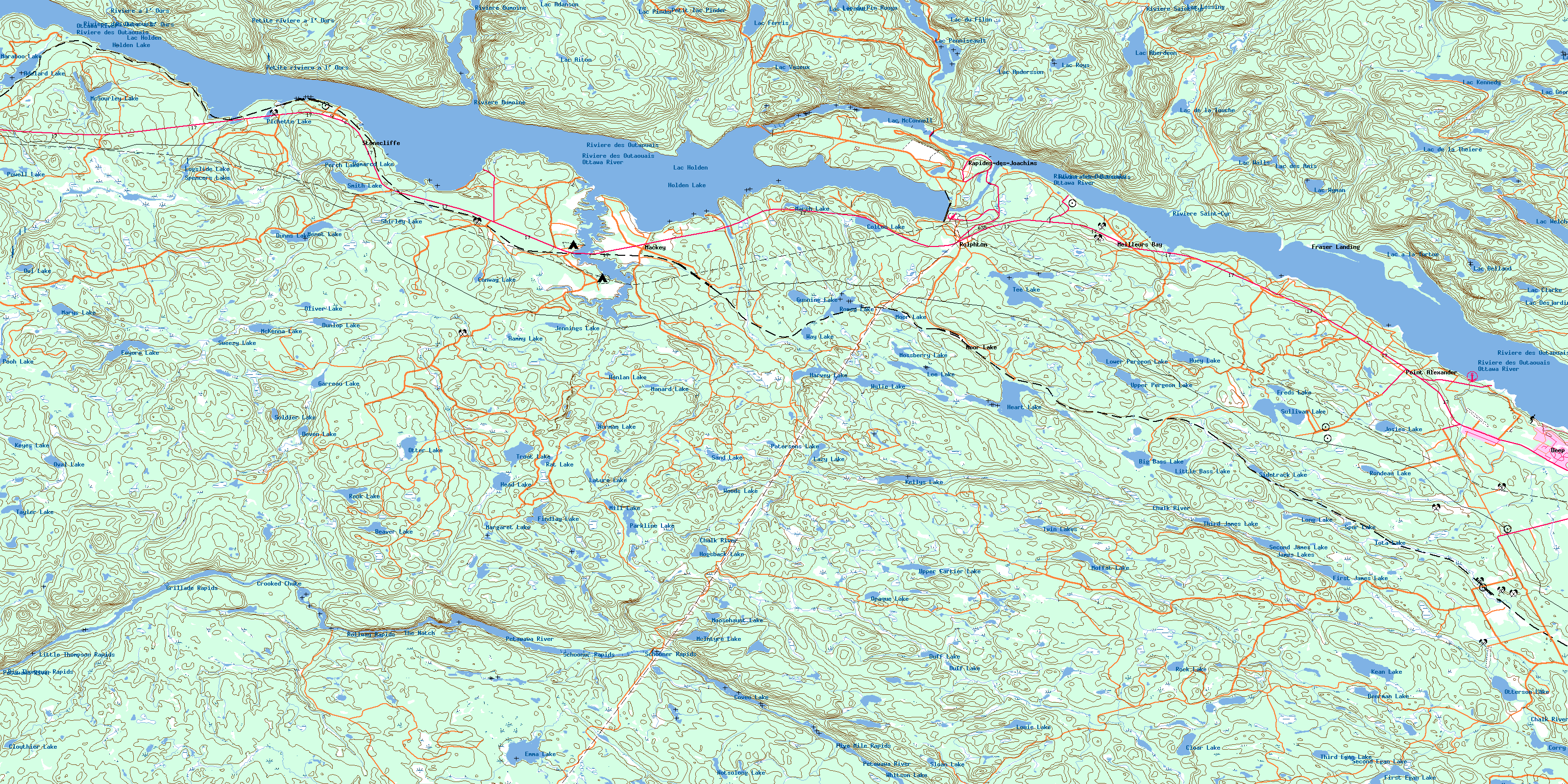
031K04 Rolphton Topo Map
To view this map, mouse over the map preview on the right.
You can also download this topo map for free:
031K04 Rolphton high-resolution topo map image.
Maps for the Rolphton topo map sheet 031K04 at 1:50,000 scale are also available in these versions:
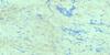
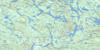
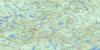
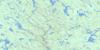
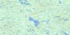
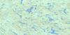
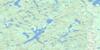
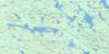
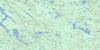
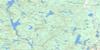
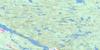
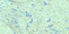
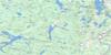
Rolphton Surrounding Area Topo Maps
 |
 |
 |
 |
 |
 |
 |
 |
 |
 |
 |
 |
 |
 |
 |
 |
© Department of Natural Resources Canada. All rights reserved.
Rolphton Gazetteer
The following places can be found on topographic map sheet 031K04 Rolphton:
Rolphton Topo Map: Bays
Baie CayienBaie Colton
Baie de la Presqu'île d'en Bas
Baie de la Presqu'île d'en Haut
Baie Lower Presqu'île
Baie Upper Presqu'île
Driftwood Bay
Grants Creek Bay
Mackey Bay
Meilleurs Bay
Pichette Bay
Rolphton Topo Map: Capes
Baird PointBaird Point
Big Presqu'île
La Grande Presqu'île
La Petite Presqu'île
Little Presqu'île
Mackey Point
Marsh Lake Point
McFarlanes Point
Pine Point
Point Alexander
Point Stewart
Rocky Point
Stoney Point
Rolphton Topo Map: Falls
Crooked ChuteRolphton Topo Map: Geographical areas
AberdeenAberford
Bronson
Edgar
Head
Malakoff
Nipissing
Rolph
Sainte-Anne
Stratton
Wylie
Rolphton Topo Map: Lakes
Adelard LakeBass Lake
Beaver Lake
Beerman Lake
Big Bass Lake
Chalkend Lake
Claret Lake
Clear Lake
Clouthier Lake
Colton Lake
Colton Lake
Conway Lake
Corry Lake
Coveo Lake
Demarco Lake
Devon Lake
Dow Lake
Duff Lake
Dunlop Lake
Dunns Lake
Eeyore Lake
Egan Lake
Emma Lake
Étang Allioni
Étang Ames
Étang des Geais Bleus
Findlay Lake
First Egan Lake
First James Lake
Freds Lake
Garreau Lake
Gunning Lake
Gunny Lake
Hammy Lake
Hanlan Lake
Harvey Lake
Head Lake
Heart Lake
Hogsback Lake
Holden Lake
Huey Lake
Iota Lake
James Lakes
Jennings Lake
Josies Lake
Kean Lake
Kellys Lake
Keon Lake
Keyes Lake
Lac à la Tortue
Lac Aberdeen
Lac Adanson
Lac Aiton
Lac Allioni
Lac Ames
Lac Andersson
Lac Belland
Lac Bite
Lac Bronson
Lac Clarke
Lac de la Théière
Lac de la Touche
Lac des Amis
Lac des Perdrix
Lac Desjardins
Lac du Buis
Lac du Busard
Lac du Condor
Lac du Filon
Lac du Pin Rouge
Lac Ferris
Lac Georges
Lac Holden
Lac Kennedy
Lac la Truite
Lac Lebeau
Lac Lernaut
Lac Lessing
Lac McConnell
Lac Mud
Lac Olin
Lac Penniseault
Lac Pinder
Lac Rock
Lac Roys
Lac Teapot
Lac Trout
Lac Turtle
Lac Vaseux
Lac Walls
Lac Welches
Lac Wyman
Lature Lake
Lazy Lake
Lee Lake
Little Bass Lake
Logslide Lake
Long Lake
Louie Lake
Lower Pergeon Lake
Manard Lake
Maraboo Lake
Margaret Lake
Marsh Lake
Marys Lake
McIntyre Lake
McKenna Lake
McSourley Lake
Menet Lake
Mill Lake
Moffat Lake
Moor Lake
Moore Lake
Moosehaunt Lake
Mossberry Lake
Nina Lake
Norman Lake
Notsolong Lake
Oliver Lake
Opaque Lake
Otter Lake
Otterson Lake
Oval Lake
Owl Lake
Park Lake
Parkline Lake
Patersons Lake
Perch Lake
Petit lac Pinceau
Petit lac Pinder
Pichette Lake
Pooh Lake
Powell Lake
Pregeon Lake
Rat Lake
Rock Lake
Rock Lake
Rondeau Lake
Roney Lake
Sand Lake
Second Egan Lake
Second James Lake
Shirley Lake
Sidetrack Lake
Sloan Lake
Smith Lake
Soldier Lake
Spencers Lake
Spur Lake
Sullivan Lake
Sweezy Lake
Tayler Lake
Tee Lake
Third Egan Lake
Third James Lake
Trout Lake
Twin Lakes
Upper Cartier Lake
Upper Pergeon Lake
Way Lake
West Dow Lake
Whitson Lake
Woods Lake
Wylie Lake
Young Lake
Rolphton Topo Map: Military areas
Base des Forces canadiennes PetawawaCanadian Forces Base Petawawa
Champ de tir et champ de manoeuvre Petawawa
Petawawa Range and Training Area
Rolphton Topo Map: Miscellaneous
Forêt refuge du Lac-à-la-TortueRolphton Topo Map: Mountains
Petawawa HillsRolphton Topo Map: Major municipal/district area - major agglomerations
PontiacRolphton Topo Map: Other municipal/district area - miscellaneous
Head, Clara and MariaRolph, Buchanan, Wylie and McKay
Rolphton Topo Map: Conservation areas
Algonquin Provincial ParkDriftwood Provincial Park
Grant's Creek Provincial Park
Réserve écologique André-Linteau
Réserve écologique de l'Aigle-à-Tête-Blanche
Réserve écologique James-Little
Zec Dumoine
Zec Saint-Patrice
Rolphton Topo Map: Rapids
Big Thompson RapidsFive Mile Rapids
Grillade Rapids
Little Thompson Rapids
Rapides des Joachims
Rollway Rapids
Schooner Rapids
The Natch
Rolphton Topo Map: Rivers
Blue Beech CreekCartier Creek
Cayiens Creek
Chalk River
Clouthier Creek
Colton Creek
Conway Creek
Dow Creek
East Bruce Creek
Emma Creek
Findlay Creek
Grant Creek
Grants Creek
Harvey Creek
Heeney Creek
Heney Creek
Huey Creek
Jennings Creek
Kennedy Creek
Lafortune Creek
Lone Creek
Louie Creek
Mackey Creek
McConnell Creek
McSourley Creek
Moffat Creek
Moosehaunt Creek
Mossberry Creek
North Rouge Creek
Ottawa River
Petawawa River
Petite rivière à l'Ours
Pichette Creek
Powell Creek
Rivière à l'Ours
Rivière des Outaouais
Rivière des Outaouais
Rivière Dumoine
Rivière Ottawa
Rivière Saint-Cyr
Rondeau Creek
Roney Creek
Ruisseau Bill
Ruisseau Boom
Ruisseau Boom East
Ruisseau Boom West
Ruisseau Ferris
Ruisseau Latour
Ruisseau Marie-Jeanne
Ruisseau Mary-Jane
Ruisseau Penniseault
Ruisseau Pinceau
Tee Creek
Walkers Creek
Wylie Creek
Rolphton Topo Map: Towns
Deep RiverLaurentian Hills
Rolphton Topo Map: Unincorporated areas
Bass LakeFraser Landing
Mackey
Mackeys Station
Meilleurs Bay
Moor Lake
Moor Lake Station
Point Alexander
Rapides-des-Joachims
Rockcliffe
Rolphton
Stonecliff
Stonecliffe
Wylie
Rolphton Topo Map: Low vegetation
Grants Creek MarshRolphton Topo Map: Villages
Rapides-des-JoachimsSheen-Esher-Aberdeen-et-Malakoff
© Department of Natural Resources Canada. All rights reserved.
031K Related Maps:
031K Deep River031K01 Blue Sea Lake
031K02 Lac Usborne
031K03 Chalk River
031K04 Rolphton
031K05 Lac Du Pinceau
031K06 Lac St-Patrice
031K07 Lac Duval
031K08 Lac Pythonga
031K09 Montcerf
031K10 Lac Doolittle
031K11 Lac Bruce
031K12 Lac Russell
031K13 Lac Dumoine
031K14 Lac Brule
031K15 Lac Delahey
031K16 Lac Kellog
