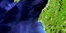
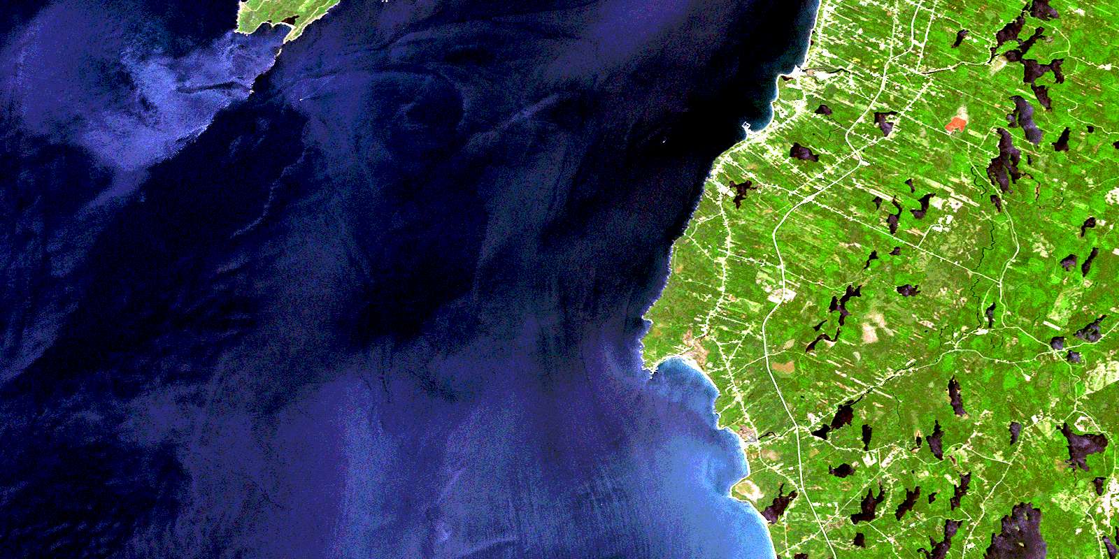
Meteghan Satellite Image Map
Download Free Aerial Photo 021B01 at 1:50,000 scale
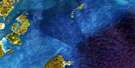
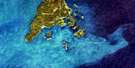
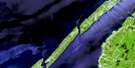
Meteghan Satellite Imagery
To view this satellite map, mouse over the air photo on the right.
You can also download this satellite image map for free:
021B01 Meteghan high-resolution satellite image map.
Maps for the Meteghan aerial map sheet 021B01 at 1:50,000 scale are also available in these versions:
Meteghan Surrounding Area Aerial Photo Maps
 |
|||
 |
 |
||
 |
|||
 |
© Department of Natural Resources Canada. All rights reserved.
Meteghan Gazetteer
The following places can be found on satellite image map 021B01 Meteghan:
Meteghan Satellite Image: Bays
Anse AmiraultBaie de Fundy
Bay of Fundy
Bear Cove
Big Pond Cove
Cape Cove
Comeau Cove
Grande Anse
Hog Yard Cove
Hog-yard Cove
L'Anse des Maréchal
Lighthouse Cove
Little Pond Cove
New Road Cove
Olivers Cove
Olives Cove
Pond Cove
Sheep Cove
St. Mary Bay
St. Marys Bay
St. Mary's Bay
The Two Gullies
Meteghan Satellite Image: Beaches
Barre à TicoBarre au Saumon
Barres à Pointe Noire
Bartletts Beach
Deveaus Shore
Meteghan Satellite Image: Capes
Bear Cove PointBlack Point
Cape St. Mary
Cape St. Marys
Dartmouth Point
Davids Point
Flemish Cap
Green Head
Horses Rump
Light Point
Pointe à la Grande Anse
Pointe à Tom
Pointe des Maréchal
Pointe Noire
Sea Kings Point
Whipple Point
Meteghan Satellite Image: Channels
Grand PassageMeteghan Satellite Image: Falls
Indian FallsMeteghan Satellite Image: Geographical areas
DigbyYarmouth
Meteghan Satellite Image: Islands
Brier IslandGreen Island
Gull Island
Long Island
Meteghan Satellite Image: Lakes
Ash LakeBartletts River Pond
Beaver Lake
Beaver Lake
Big Pond
Bonaventure Lake
Brazil Lake
Cedar Lake
Churchills Lake
Clare Lake
Clearwater Lake
Cornings Lake
Cranberry Lake
Crosbys Lake
Doctors Lake
Eel Lake
English Lake
Farish Lake
Finck Lake
Gaspereau Lake
Germain Lake
Grass Lake
Guillot Lake
Hectanooga Lake
Heron Lake
Indian Pond
Jennys Lake
Jesse Lake
Killam Lake
Killams Lake
Lac à Pecee
Lac à Pierre
Lac de Gruau
Lac des Tom
Lake Annis
Lake Doucette
Lake George
Lake Jesse
Leapfrog Lake
Little Lake Doucette
Little Pond
Little Tedford Lake
Longboat Lake
Lower Corning Lake
Lower Doucette Lake
Mardi Gras Lake
Melanson Lake
Moosehorn Lake
Negro Lake
Norwood Clearwater Lake
Oakleaf Lake
Peter Lake
Pierce Lake
Salmon River Lake
Salmon-river Lake
Sandyland Ponds
Seth Lake
South Corning Lake
South Doucette Lake
Spectacle Lake
Swallow Lake
Tedford Lake
Third Lake
Three Island Lake
Three-island Lake
Thunder Lake
Two Island Lake
Upper Corning Lake
Upper Doucette Lake
Meteghan Satellite Image: Mountains
Ridge of RocksMeteghan Satellite Image: Major municipal/district area - major agglomerations
ClareDigby
Yarmouth
Meteghan Satellite Image: Conservation areas
Mavilette Beach Provincial ParkSmugglers Cove Provincial Park
Meteghan Satellite Image: Rivers
Annis RiverBartlett Brook
Bartletts River
Black Brook
Blackadar Brook
Blackwater Brook
Corning Brook
Dean Brook
Felix Mill Brook
Freshwater Stream
Indian River
Jennys Brook
Meteghan River
Ruisseau à Charles Black
Ruisseau à Pierre
Ruisseau des Boudreau
Ruisseau des Irlandais
Salmon River
Salmon River
Snare Lake Brook
Swallow Lake Brook
Whitewater Brook
Meteghan Satellite Image: Sea features
Cape RipMeteghan Satellite Image: Shoals
Bosse à ChristineBosse à Jean
Brier Island Southwest Ledge
Flat Grounds
Fond de Belliveau
Fond des Lazare
Gull Rock
Gull Rock Bars
La Haute Femme
L'Hôpital
Long Bar
Man of War Rock
Mavillette Shoal
McDormand Patch
Round Rocks
Meteghan Satellite Image: Unincorporated areas
BangorBear Cove
Beaver River
Brazil Lake
Cape St. Mary
Cape St. Marys
Cedar Lake
Cleland Corner
Harrington
Hectanooga
Lake Annis
Lake Doucette
Lake George
Lower Concession
Lower Saulnierville
Mavillette
Maxwellton
Maxwellton Station
Maxwelton Station
Mayflower
Meteghan
Meteghan Centre
Meteghan River
Meteghan Station
Norwood
Robicheau
Salmon River
Saulnierville Station
Sigogne
Springdale
St. Alphonse
St. Alphonse de Clare
St. Alphonse-de-Clare
St. Benoni
St. Martin
St. Martin de Clare
St. Martin-de-Clare
St-Alphonse-de-Clare
St-Benoni
St-Martin-de-Clare
Woodvale
Meteghan Satellite Image: Low vegetation
Cape St. Marys MarshSouth Bog
West Bog
© Department of Natural Resources Canada. All rights reserved.
