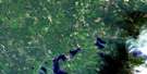
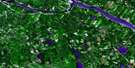
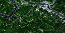
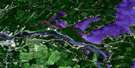
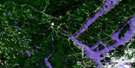
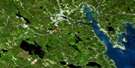
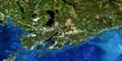
Rollingdam Satellite Image Map
Download Free Aerial Photo 021G06 at 1:50,000 scale
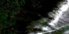
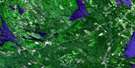
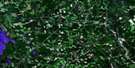
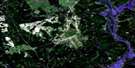
Rollingdam Satellite Imagery
To view this satellite map, mouse over the air photo on the right.
You can also download this satellite image map for free:
021G06 Rollingdam high-resolution satellite image map.
Maps for the Rollingdam aerial map sheet 021G06 at 1:50,000 scale are also available in these versions:
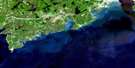
Rollingdam Surrounding Area Aerial Photo Maps
 |
 |
 |
 |
 |
 |
 |
 |
 |
 |
 |
|
 |
 |
 |
© Department of Natural Resources Canada. All rights reserved.
Rollingdam Gazetteer
The following places can be found on satellite image map 021G06 Rollingdam:
Rollingdam Satellite Image: Bays
English CoveLoon Bay
Rollingdam Satellite Image: Capes
Clark PointDuck Point
Gleason Point
Grannys Point
Rollingdam Satellite Image: Falls
Dog FallsFlume Falls
Grand Falls
Spednik Falls
Rollingdam Satellite Image: Geographical areas
CharlotteDumbarton
Saint Croix
Saint David
Saint James
Saint Patrick
Saint Stephen
Rollingdam Satellite Image: Islands
Cedar IslandsDog Islands
Flume Islands
Grassy Islands
Gravel Island
Green Island
Hog Island
Horse Island
King Brook Islands
Rollingdam Satellite Image: Lakes
Big Kedron LakeBirneys Lake
Black Lake
Blackwater Lake
Canoose Flowage
Canoose Lake
Clarence Lake
Craig Lake
Cranberry Lake
Doyle Lake
Foster Lake
Gallop Lake
Grand Falls Flowage
Grand Falls Lake
Indian Pond
Kedron Lake
King Brook Lake
King Lake
Middle Lake
Moore Lake
Moores Mills Lake
Mud Lake
Round Pond
Splan Pond
Upper Canoose Flowage
Rollingdam Satellite Image: Mountains
Clark RidgeFaheys Hill
Ghost Hill
Grimmers Mountain
Hoodleys Hill
Island Hill
Kates Hill
Macs Hill
Maxwells Hill
McGaw Hill
Oak Hill
Stevenson Hill
Summer Hill
Wilson Hill
Rollingdam Satellite Image: Conservation areas
Saint Croix River Provincial ParkRollingdam Satellite Image: Rapids
Albee RipsCanoose Rips
Cedar Island Rips
Dog Islands Rips
Hawkins Rips
Haycock Rips
Head Pitch
Kendricks Rips
Kindric Rips
Meetinghouse Rips
Rocky Rips
Split Rock Rips
Tyler Rips
Rollingdam Satellite Image: Rivers
Allen BrookAnthony Brook
Bear Brook
Bear Camp Brook
Berry Brook
Birch Brook
Bog Brook
Bonny Brook
Brandy Brook
Bulger Brook
Bush Brook
Campbell Brook
Campbell Brook
Campbell Brook
Campbells Brook
Canoose River
Canoose Stream
Carr Brook
Clarence Brook
Clarence Brook
Clarence Stream
Coffin Brook
Cooks Brook
Cowlily Pond Brook
Cox Brook
Deadwater Brook
Dennis Stream
Denny Stream
Digdeguash River
Dog Brook
Dunham Brook
Falls Brook
First Brook
Gallop Stream
Goat Brook
Grand Falls Brook
Green Brown Brook
Green Meadow Brook
Halfway Brook
Halls Brook
Hoodleys Brook
Jones Brook
King Brook
Little Goat Brook
Magaguadavic River
Malkeson Brook
Malkson Brook
McCarley Brook
Meadow Brook
Meadow Brook
Mohannes Stream
North Branch Campbell Brook
Northwest Branch Digdeguash River
Northwest Digdeguash River
Pot Brook
Pout Brook
Pup Brook
Rolf Brook
Rolf Rollingtier Brook
Sandy Brook
Satchell Brook
Sawyer Brook
Shaw Creek
Shaws Brook
Shaws Creek
Snipe Brook
Soap Brook
Splan Brook
St. Croix River
Steepbank Brook
Stuart Brook
Three Brooks
Todd Meadow Brook
Tom Stein Brook
Trout Brook
Upper Snipe Brook
Waweig River
Waweig River
William Creek
Williams Brook
Rollingdam Satellite Image: River features
Barber Dam DeadwaterLong Reach
Ponwauk Stillwater
Rollingdam Satellite Image: Shoals
Canoose LedgesMeetinghouse Rock
Rollingdam Satellite Image: Unincorporated areas
Anderson SettlementAndersonville
Baillie
Baillie Settlement
Barber Dam
Basswood Ridge
Beaconsfield
Canoose
Central Tower Hill
Clarence Ridge
Clark Point
DeWolfe
Dumbarton
Dumbarton Station
Dyer
Elmsville
Flume Ridge
Gleason Point
Gleason Road
Greenock
Hayman Hill
Hewitt
Honeydale
Lawrence Station
Leverville
Leverville
Lower Tower Hill
Lynnfield
McMinn
Meredith
Meredith Settlement
Moores Mills
Moore's Mills
Oak Hill
Old Ridge
Pleasant Ridge
Pomeroy Ridge
Porter Settlement
Roix Road
Rolling Dam
Rolling Dam Station
Rollingdam
Rollingdam Station
Scotch Ridge
Sorrel Ridge
St. David Ridge
The Flume
Tryon Settlement
Upper Little Ridge
Upper Tower Hill
Watt
Watt Junction
Waweig
Weeks Road
Whittier Ridge
Rollingdam Satellite Image: Valleys
Pine ValleyRollingdam Satellite Image: Low vegetation
Wrigley Meadow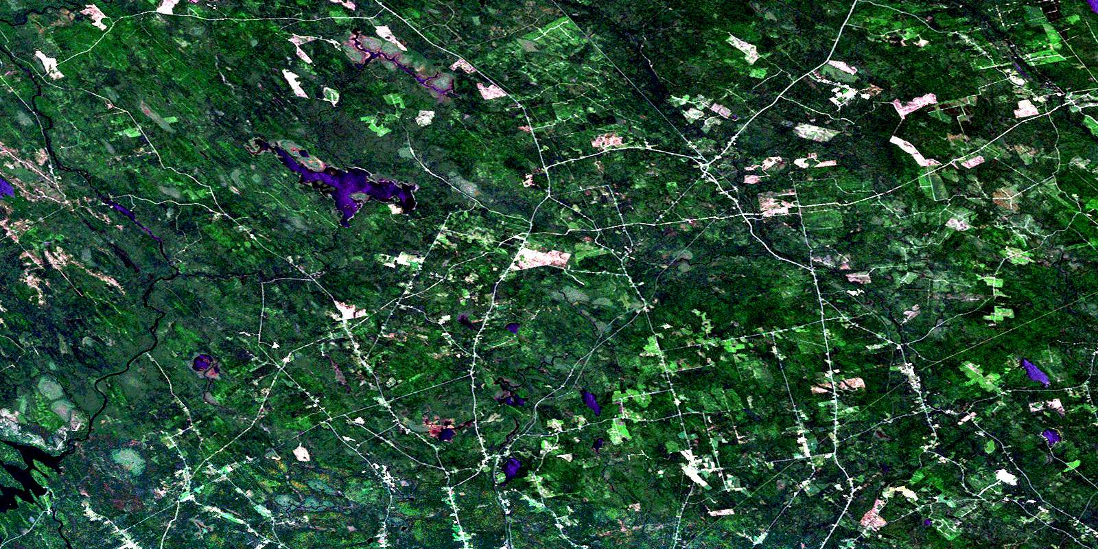
© Department of Natural Resources Canada. All rights reserved.
